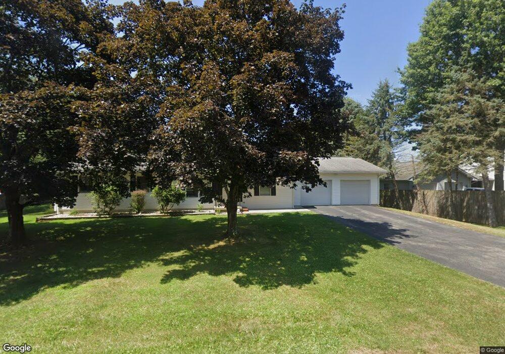
121 Windcrest Dr Kittanning, PA 16201
North Buffalo Township NeighborhoodEstimated Value: $219,041 - $278,000
3
Beds
2
Baths
1,260
Sq Ft
$194/Sq Ft
Est. Value
About This Home
This home is located at 121 Windcrest Dr, Kittanning, PA 16201 and is currently estimated at $244,010, approximately $193 per square foot. 121 Windcrest Dr is a home with nearby schools including West Hills Intermediate School, West Hills Primary School, and Grace Christian School.
Ownership History
Date
Name
Owned For
Owner Type
Purchase Details
Closed on
Jul 9, 2001
Bought by
Boylstein Scott E and Boylstein Rebecca R
Current Estimated Value
Purchase Details
Closed on
May 15, 2001
Bought by
Samaj Lucy
Purchase Details
Closed on
Feb 23, 2000
Bought by
Samaj Andrew John
Purchase Details
Closed on
Sep 13, 1983
Create a Home Valuation Report for This Property
The Home Valuation Report is an in-depth analysis detailing your home's value as well as a comparison with similar homes in the area
Home Values in the Area
Average Home Value in this Area
Purchase History
| Date | Buyer | Sale Price | Title Company |
|---|---|---|---|
| Boylstein Scott E | $127,000 | -- | |
| Samaj Lucy | -- | -- | |
| Samaj Andrew John | -- | -- | |
| -- | $14,000 | -- |
Source: Public Records
Tax History Compared to Growth
Tax History
| Year | Tax Paid | Tax Assessment Tax Assessment Total Assessment is a certain percentage of the fair market value that is determined by local assessors to be the total taxable value of land and additions on the property. | Land | Improvement |
|---|---|---|---|---|
| 2025 | $4,076 | $45,870 | $25,960 | $19,910 |
| 2024 | $3,846 | $45,870 | $25,960 | $19,910 |
| 2023 | $3,109 | $45,870 | $25,960 | $19,910 |
| 2022 | $3,109 | $45,870 | $25,960 | $19,910 |
| 2021 | $3,072 | $45,870 | $25,960 | $19,910 |
| 2020 | $3,072 | $45,870 | $25,960 | $19,910 |
| 2019 | $3,072 | $45,870 | $25,960 | $19,910 |
| 2018 | $3,078 | $37,080 | $8,640 | $28,440 |
| 2017 | $3,055 | $45,870 | $25,960 | $19,910 |
| 2016 | $3,055 | $45,870 | $25,960 | $19,910 |
| 2015 | $2,361 | $45,870 | $25,960 | $19,910 |
| 2014 | $2,361 | $45,870 | $25,960 | $19,910 |
Source: Public Records
Map
Nearby Homes
- 208 Briar Hill Rd
- 217 Briar Hill Rd
- 514 Southern Ave
- 728 Ferne Dr
- 711 S Harrison St
- 701 S Harrison St
- 228 Arthur St
- 226 Ridge Ave
- 349 Franklin Ave
- 238 Allegheny Ave
- 1039 Glade Park E
- 100 Mccain St
- 418 Pine Hill Rd
- 0 Wible Rd
- 1336 4th Ave Unit 1338
- 417 14th St
- 156 S Jefferson St
- 1234 4th Ave
- 1225 4th Ave
- 114 S Mckean St
- 123 Windcrest Dr
- 117 Windcrest Dr
- 110 Windcrest Dr
- 122 Windcrest Dr
- 129 Windcrest Dr
- 787 Pony Farm Rd
- 789 Pony Farm Rd
- 803 Pony Farm Rd
- 140 Windcrest Ln
- 807 Pony Farm Rd
- 795 Pony Farm Rd
- 135 Windcrest Dr
- 798 Pony Farm Rd
- 813 Pony Farm Rd
- 150 Windcrest Dr
- 800 Pony Farm Rd
- 790 Pony Farm Rd
- 802 Pony Farm Rd
- 804 Pony Farm Rd
- 808 Pony Farm Rd