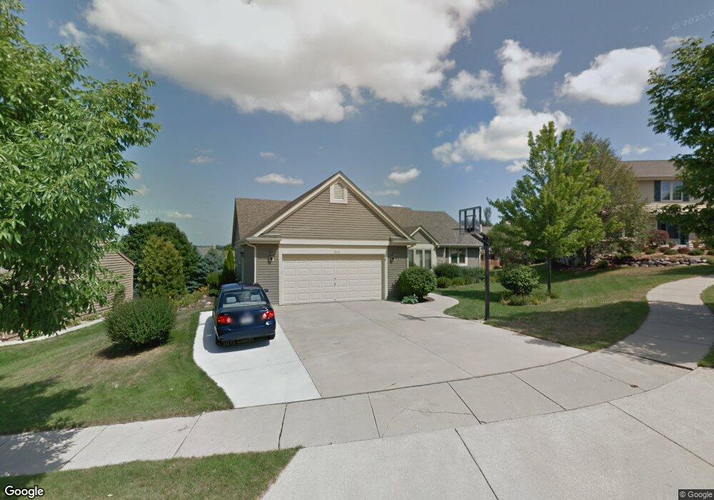
1210 Highpoint Ln Waukesha, WI 53189
Estimated Value: $435,000 - $508,658
3
Beds
2
Baths
1,855
Sq Ft
$253/Sq Ft
Est. Value
About This Home
This home is located at 1210 Highpoint Ln, Waukesha, WI 53189 and is currently estimated at $469,165, approximately $252 per square foot. 1210 Highpoint Ln is a home located in Waukesha County with nearby schools including Prairie Elementary School, Les Paul Middle School - Central Campus, and West High School.
Ownership History
Date
Name
Owned For
Owner Type
Purchase Details
Closed on
Dec 1, 2021
Sold by
Young Gail
Bought by
Lane Jeffrey M and Lane Gail A
Current Estimated Value
Purchase Details
Closed on
May 1, 1997
Sold by
Belman Don
Bought by
Young Gail
Home Financials for this Owner
Home Financials are based on the most recent Mortgage that was taken out on this home.
Original Mortgage
$148,700
Interest Rate
7.1%
Create a Home Valuation Report for This Property
The Home Valuation Report is an in-depth analysis detailing your home's value as well as a comparison with similar homes in the area
Home Values in the Area
Average Home Value in this Area
Purchase History
| Date | Buyer | Sale Price | Title Company |
|---|---|---|---|
| Lane Jeffrey M | -- | None Available | |
| Young Gail | $41,900 | -- |
Source: Public Records
Mortgage History
| Date | Status | Borrower | Loan Amount |
|---|---|---|---|
| Previous Owner | Young Gail | $148,700 |
Source: Public Records
Tax History Compared to Growth
Tax History
| Year | Tax Paid | Tax Assessment Tax Assessment Total Assessment is a certain percentage of the fair market value that is determined by local assessors to be the total taxable value of land and additions on the property. | Land | Improvement |
|---|---|---|---|---|
| 2024 | $6,788 | $452,600 | $87,400 | $365,200 |
| 2023 | $6,615 | $452,600 | $87,400 | $365,200 |
| 2022 | $5,821 | $300,900 | $88,400 | $212,500 |
| 2021 | $5,667 | $286,400 | $88,400 | $198,000 |
| 2020 | $5,466 | $286,400 | $88,400 | $198,000 |
| 2019 | $5,301 | $286,400 | $88,400 | $198,000 |
| 2018 | $5,101 | $270,200 | $88,400 | $181,800 |
| 2017 | $5,651 | $270,200 | $88,400 | $181,800 |
| 2016 | $5,014 | $250,200 | $79,500 | $170,700 |
| 2015 | $4,982 | $250,200 | $79,500 | $170,700 |
| 2014 | $5,039 | $242,900 | $79,500 | $163,400 |
| 2013 | $5,039 | $242,900 | $79,500 | $163,400 |
Source: Public Records
Map
Nearby Homes
- 1203 Woodbury Common Unit D
- 1210 Woodbury Common Unit C
- S54W25487 Pebble Brook Ct
- S54W25436 Pebble Brook Ct
- 2415 Fox River Pkwy Unit H
- 2010 Dixie Dr
- 2426 Fox River Pkwy Unit G
- 1277 Market Place
- LtD59 White Deer Trail
- 812 Timber Ridge Ct Unit 10
- 1706 Haymarket Rd
- 1909 Mallard Pointe Cir
- 2700 Wyngate Way
- 2708 Fox Hill Dr
- W257S4628 Wood Lilly Ln
- 1722 Sycamore Dr
- 801 Timber Ridge Dr
- 1804 Center Rd
- 1101 Dogwood Ln
- 1523 David Ln
- 1200 Highpoint Ln
- 1204 Highpoint Ln
- 1201 Highpoint Ln
- 1205 Highpoint Ln
- 1211 Highpoint Ln
- 1215 Highpoint Ln
- 1214 Highpoint Ln
- 1218 Highpoint Ln
- 1219 Highpoint Ln
- 1215 Woodview Dr
- 1222 Highpoint Ln
- 1223 Highpoint Ln
- 1219 Woodview Dr
- xx Co Rd S & 210th St
- 1209 Woodview Dr
- 1205 Woodview Dr
- 1201 Woodview Dr
- 1210 Woodview Dr
- 1202 Woodview Dr
- 2249 Stony Ridge Dr