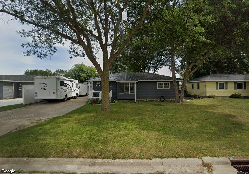
1211 Deloris Dr Waterloo, IA 50701
Alabar Hills NeighborhoodEstimated Value: $198,000 - $210,943
3
Beds
2
Baths
987
Sq Ft
$207/Sq Ft
Est. Value
About This Home
This home is located at 1211 Deloris Dr, Waterloo, IA 50701 and is currently estimated at $204,236, approximately $206 per square foot. 1211 Deloris Dr is a home located in Black Hawk County with nearby schools including Becker Elementary School, Central Middle School, and West High School.
Ownership History
Date
Name
Owned For
Owner Type
Purchase Details
Closed on
Oct 21, 2010
Sold by
Esjody Goldsberry Estate Of Earl F Shepard and Ex Stephens
Bought by
King Richard D and King Julia A
Current Estimated Value
Home Financials for this Owner
Home Financials are based on the most recent Mortgage that was taken out on this home.
Original Mortgage
$100,000
Outstanding Balance
$65,017
Interest Rate
4.37%
Mortgage Type
Purchase Money Mortgage
Estimated Equity
$139,219
Create a Home Valuation Report for This Property
The Home Valuation Report is an in-depth analysis detailing your home's value as well as a comparison with similar homes in the area
Home Values in the Area
Average Home Value in this Area
Purchase History
| Date | Buyer | Sale Price | Title Company |
|---|---|---|---|
| King Richard D | $111,000 | None Available |
Source: Public Records
Mortgage History
| Date | Status | Borrower | Loan Amount |
|---|---|---|---|
| Open | King Richard D | $100,000 |
Source: Public Records
Tax History
| Year | Tax Paid | Tax Assessment Tax Assessment Total Assessment is a certain percentage of the fair market value that is determined by local assessors to be the total taxable value of land and additions on the property. | Land | Improvement |
|---|---|---|---|---|
| 2025 | $3,796 | $205,460 | $17,710 | $187,750 |
| 2024 | $3,796 | $185,220 | $17,710 | $167,510 |
| 2023 | $3,176 | $185,220 | $17,710 | $167,510 |
| 2022 | $3,090 | $153,510 | $17,710 | $135,800 |
| 2021 | $2,928 | $153,510 | $17,710 | $135,800 |
| 2020 | $2,876 | $137,880 | $17,710 | $120,170 |
| 2019 | $2,876 | $137,880 | $17,710 | $120,170 |
| 2018 | $2,636 | $126,950 | $17,710 | $109,240 |
| 2017 | $2,636 | $126,950 | $17,710 | $109,240 |
| 2016 | $2,682 | $126,950 | $17,710 | $109,240 |
| 2015 | $2,682 | $126,950 | $17,710 | $109,240 |
| 2014 | $2,734 | $126,950 | $17,710 | $109,240 |
Source: Public Records
Map
Nearby Homes
- 1811 Sager Ave
- 1290 Scott Ave
- 1839 Rush St
- 3816 Monterey Dr
- 4009 Sager Ave
- 4015 Mark Dr
- Lot 19 Mark Dr
- Lot 22 Mark Dr
- Lot 20 Mark Dr
- Lot 15 Mark Dr
- Lot 21 Mark Dr
- Lot 16 Mark Dr
- Lot 23 Mark Dr
- 4034 Mark Dr
- 600 Beverly Hills St
- 1114 Eleanor Dr
- Lot 26 Sager Ave
- 1906 Coachman Dr
- Lot 27 Sager Ave
- 1221 Julian Ave
- 1205 Deloris Dr
- 1217 Deloris Dr
- 1205 Deloris Dr
- 1214 Deloris Dr
- 1208 Deloris Dr
- 1223 Deloris Dr
- 1202 Deloris Dr
- 1218 Deloris Dr
- 1224 Saint Andrews Ave
- 1229 Deloris Dr
- 1208 Saint Andrews Ave
- 1216 Saint Andrews Ave
- 1224 Deloris Dr
- 1200 Saint Andrews Ave
- 1232 Saint Andrews Ave
- 2215 Sager Ave
- 1215 S Hackett Rd
- 1221 S Hackett Rd
- 1233 Deloris Dr
- 1230 Deloris Dr
Your Personal Tour Guide
Ask me questions while you tour the home.