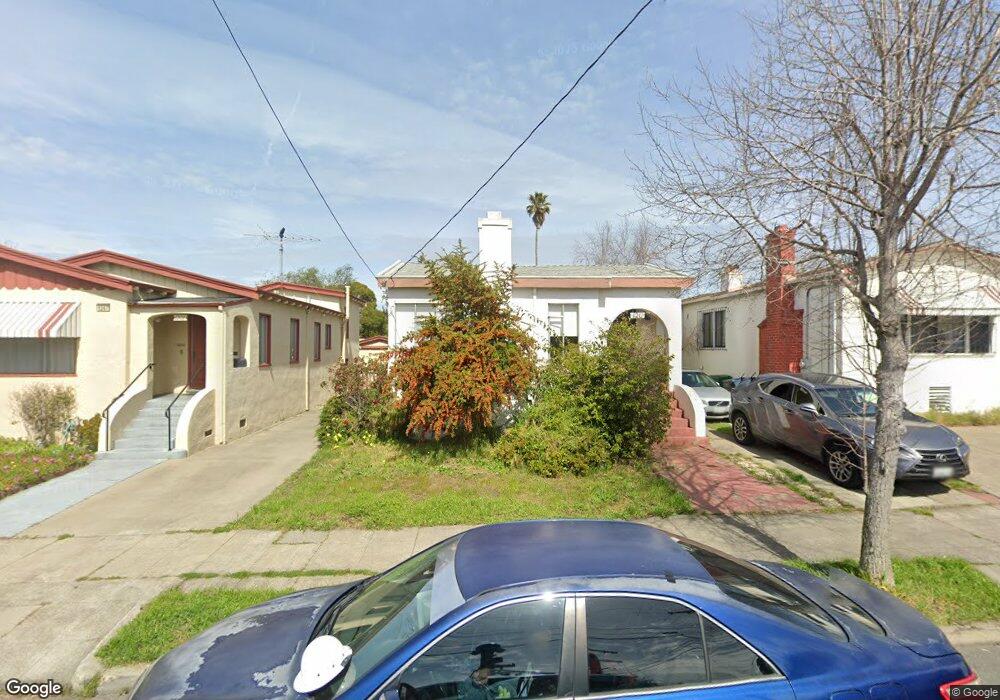
1211 Dwight Way Berkeley, CA 94702
West Berkeley NeighborhoodEstimated Value: $920,000 - $1,258,000
2
Beds
1
Bath
1,080
Sq Ft
$1,004/Sq Ft
Est. Value
About This Home
This home is located at 1211 Dwight Way, Berkeley, CA 94702 and is currently estimated at $1,084,022, approximately $1,003 per square foot. 1211 Dwight Way is a home located in Alameda County with nearby schools including Oxford Elementary School, Washington Elementary School, and Malcolm X Elementary School.
Ownership History
Date
Name
Owned For
Owner Type
Purchase Details
Closed on
Aug 25, 2009
Sold by
Nelson Robert L and Nelson Floy T
Bought by
Rudner Jesse and Rudner Yumi
Current Estimated Value
Home Financials for this Owner
Home Financials are based on the most recent Mortgage that was taken out on this home.
Original Mortgage
$360,000
Outstanding Balance
$234,240
Interest Rate
5.09%
Mortgage Type
New Conventional
Estimated Equity
$849,782
Create a Home Valuation Report for This Property
The Home Valuation Report is an in-depth analysis detailing your home's value as well as a comparison with similar homes in the area
Home Values in the Area
Average Home Value in this Area
Purchase History
| Date | Buyer | Sale Price | Title Company |
|---|---|---|---|
| Rudner Jesse | $450,000 | Chicago Title Company |
Source: Public Records
Mortgage History
| Date | Status | Borrower | Loan Amount |
|---|---|---|---|
| Open | Rudner Jesse | $360,000 |
Source: Public Records
Tax History
| Year | Tax Paid | Tax Assessment Tax Assessment Total Assessment is a certain percentage of the fair market value that is determined by local assessors to be the total taxable value of land and additions on the property. | Land | Improvement |
|---|---|---|---|---|
| 2025 | $9,118 | $573,827 | $174,248 | $406,579 |
| 2024 | $9,118 | $562,443 | $170,833 | $398,610 |
| 2023 | $8,924 | $558,278 | $167,483 | $390,795 |
| 2022 | $8,756 | $540,334 | $164,200 | $383,134 |
| 2021 | $8,770 | $529,606 | $160,982 | $375,624 |
| 2020 | $8,293 | $531,107 | $159,332 | $371,775 |
| 2019 | $7,957 | $520,694 | $156,208 | $364,486 |
| 2018 | $7,819 | $510,488 | $153,146 | $357,342 |
| 2017 | $7,529 | $500,480 | $150,144 | $350,336 |
| 2016 | $7,278 | $490,670 | $147,201 | $343,469 |
| 2015 | $7,180 | $483,304 | $144,991 | $338,313 |
| 2014 | $7,126 | $473,840 | $142,152 | $331,688 |
Source: Public Records
Map
Nearby Homes
- 1142 Dwight Way
- 1118 Dwight Way
- 1135 Parker St
- 2324 Browning St
- 2423 10th St
- 1039 Channing Way
- 2437 Acton St
- 2341 9th St
- 2231 Byron St
- 2717 Mabel St
- 2304 Edwards St
- 2350 Sacramento St
- 917 Channing Way
- 1034 Grayson St
- 1524 Blake St
- 1010 Grayson St
- 2411 Sixth St
- 1515 Derby St
- 1450 Ward St
- 2750 Sacramento St
- 1215 Dwight Way
- 1207 Dwight Way
- 1219 Dwight Way
- 1205 Dwight Way
- 2438 Browning St
- 2439 Curtis St
- 2441 Curtis St
- 2436 Browning St
- 1204 Dwight Way
- 2435 Curtis St
- 2434 Browning St
- 1202 Dwight Way
- 2433 Curtis St
- 1225 Dwight Way
- 2507 Mathews St
- 2428 Browning St
- 1206 Dwight Way
- 2429 Curtis St
- 1229 Dwight Way
- 1200 Dwight Way
Your Personal Tour Guide
Ask me questions while you tour the home.