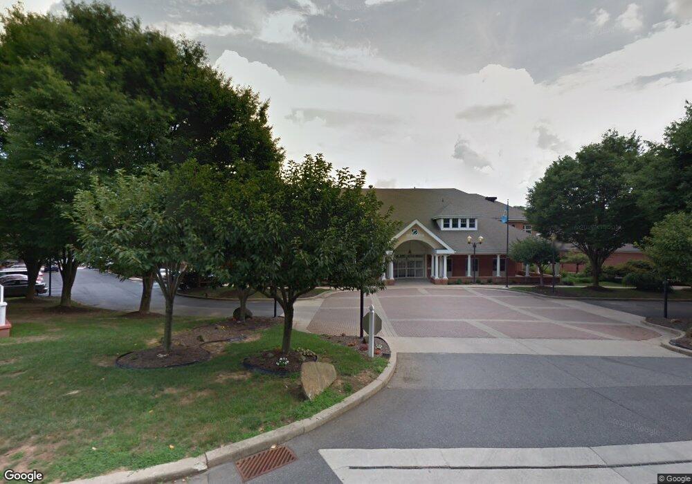
1211 Independence Way Unit B211 Newark, DE 19713
Estimated Value: $224,000 - $235,549
2
Beds
2
Baths
--
Sq Ft
--
Built
About This Home
This home is located at 1211 Independence Way Unit B211, Newark, DE 19713 and is currently estimated at $229,516. 1211 Independence Way Unit B211 is a home located in New Castle County with nearby schools including West Park Place Elementary School, Shue-Medill Middle School, and Newark High School.
Ownership History
Date
Name
Owned For
Owner Type
Purchase Details
Closed on
Apr 16, 2025
Sold by
Graehling Janet E Schleif
Bought by
Mason Judith A
Current Estimated Value
Purchase Details
Closed on
Jan 31, 2007
Sold by
Simon Jeanette
Bought by
Graehling Janet E Schleif
Home Financials for this Owner
Home Financials are based on the most recent Mortgage that was taken out on this home.
Original Mortgage
$125,000
Interest Rate
6.16%
Mortgage Type
Purchase Money Mortgage
Create a Home Valuation Report for This Property
The Home Valuation Report is an in-depth analysis detailing your home's value as well as a comparison with similar homes in the area
Home Values in the Area
Average Home Value in this Area
Purchase History
Date | Buyer | Sale Price | Title Company |
---|---|---|---|
Mason Judith A | $225,000 | Kirsh Title Services | |
Graehling Janet E Schleif | $209,300 | None Available |
Source: Public Records
Mortgage History
Date | Status | Borrower | Loan Amount |
---|---|---|---|
Previous Owner | Graehling Janet E Schleif | $125,000 |
Source: Public Records
Tax History Compared to Growth
Tax History
Year | Tax Paid | Tax Assessment Tax Assessment Total Assessment is a certain percentage of the fair market value that is determined by local assessors to be the total taxable value of land and additions on the property. | Land | Improvement |
---|---|---|---|---|
2024 | $1,742 | $60,500 | $9,100 | $51,400 |
2023 | $1,688 | $60,500 | $9,100 | $51,400 |
2022 | $1,664 | $60,500 | $9,100 | $51,400 |
2021 | $1,709 | $60,500 | $9,100 | $51,400 |
2020 | $2,106 | $60,500 | $9,100 | $51,400 |
2019 | $2,106 | $60,500 | $9,100 | $51,400 |
2018 | $1,354 | $60,500 | $9,100 | $51,400 |
2017 | $1,302 | $60,500 | $9,100 | $51,400 |
2016 | $1,197 | $60,500 | $9,100 | $51,400 |
2015 | -- | $60,500 | $9,100 | $51,400 |
2014 | $1,021 | $60,500 | $9,100 | $51,400 |
Source: Public Records
Map
Nearby Homes
- 80 Welsh Tract Rd Unit 209
- 84 Welsh Tract Rd Unit 108
- 84 Welsh Tract Rd Unit 311
- 268 W Chestnut Hill Rd
- 68 Welsh Tract Rd Unit 109
- 759 Arbour Dr
- 40 Arizona State Dr
- 724 Brook Dr
- 420 Arbour Dr
- 10 Knights Crossing
- 1 Michael Townsend Ct
- 1581 Iron Hill Rd
- 710 S College Ave
- 37 Palo Ln
- 25 Glyn Dr
- 113 Edjil Dr
- 8 Gypsum Dr Unit 168
- 418 Douglas d Alley Dr
- 23 Maple Dr Unit 16
- 302 Edjil Dr
- 1311 Independence Way Unit 1311
- 1312 Independence Way
- 1212 Independence Way Unit B212
- 1309 Independence Way
- 1310 Independence Way Unit 1310
- 1210 Independence Way
- 1307 Independence Way
- 1103 Independence Way
- 1207 Independence Way
- 2301 Independence Way
- 1308 Independence Way Unit 1308
- 2201 Independence Way Unit 2201
- 1102 Independence Way
- 1208 Independence Way
- 1205 Independence Way Unit 1205
- 2203 Independence Way
- 2302 Independence Way
- 1101 Independence Way Unit 1101
- 2303 Independence Way Unit 2303
- 1306 Independence Way