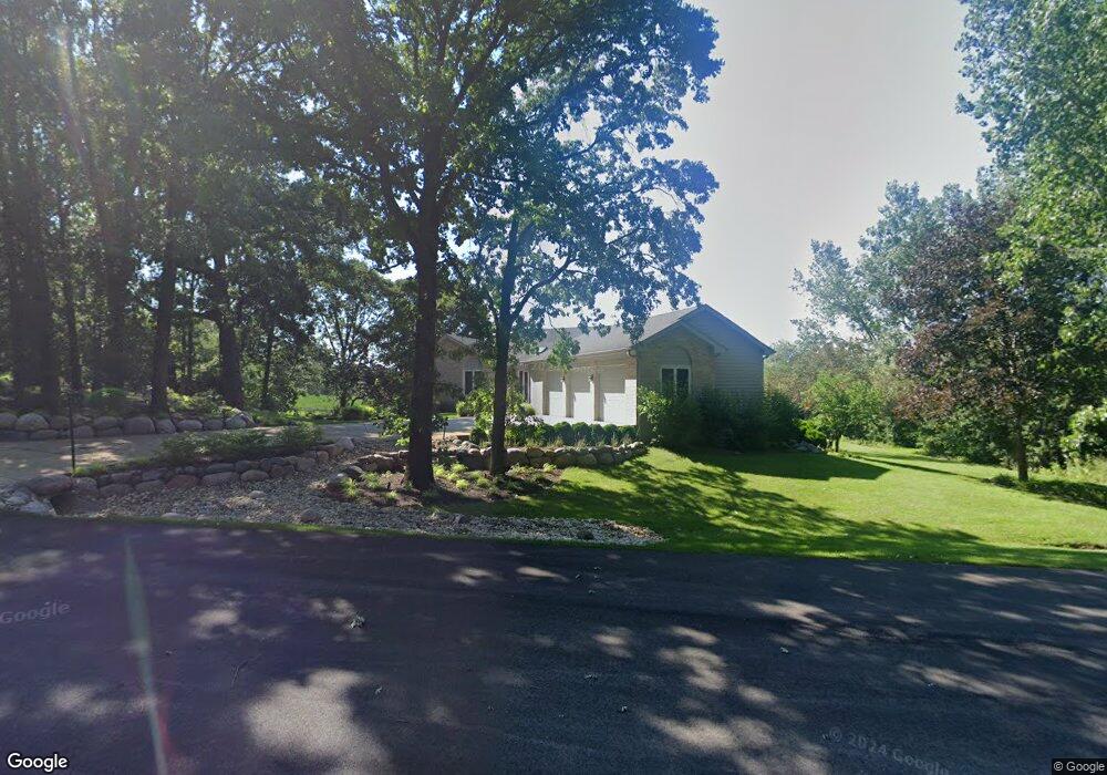
1211 Macintosh Dr Wauconda, IL 60084
Estimated Value: $537,000 - $987,000
3
Beds
2
Baths
2,334
Sq Ft
$315/Sq Ft
Est. Value
About This Home
This home is located at 1211 Macintosh Dr, Wauconda, IL 60084 and is currently estimated at $734,560, approximately $314 per square foot. 1211 Macintosh Dr is a home located in Lake County with nearby schools including Fremont Elementary School, Fremont Intermediate School, and Fremont Jr High/Middle School.
Ownership History
Date
Name
Owned For
Owner Type
Purchase Details
Closed on
Mar 30, 2000
Sold by
Sargis David W
Bought by
Tumonis Alan S and Tumonis Linda C
Current Estimated Value
Home Financials for this Owner
Home Financials are based on the most recent Mortgage that was taken out on this home.
Original Mortgage
$155,000
Outstanding Balance
$53,713
Interest Rate
8.39%
Estimated Equity
$680,847
Create a Home Valuation Report for This Property
The Home Valuation Report is an in-depth analysis detailing your home's value as well as a comparison with similar homes in the area
Home Values in the Area
Average Home Value in this Area
Purchase History
| Date | Buyer | Sale Price | Title Company |
|---|---|---|---|
| Tumonis Alan S | $403,000 | -- |
Source: Public Records
Mortgage History
| Date | Status | Borrower | Loan Amount |
|---|---|---|---|
| Open | Tumonis Alan S | $155,000 |
Source: Public Records
Tax History Compared to Growth
Tax History
| Year | Tax Paid | Tax Assessment Tax Assessment Total Assessment is a certain percentage of the fair market value that is determined by local assessors to be the total taxable value of land and additions on the property. | Land | Improvement |
|---|---|---|---|---|
| 2024 | $16,436 | $205,304 | $15,277 | $190,027 |
| 2023 | $15,059 | $188,111 | $13,998 | $174,113 |
| 2022 | $15,059 | $164,484 | $15,367 | $149,117 |
| 2021 | $14,437 | $158,723 | $14,829 | $143,894 |
| 2020 | $14,473 | $154,355 | $14,421 | $139,934 |
| 2019 | $14,055 | $149,280 | $13,947 | $135,333 |
| 2018 | $12,498 | $136,786 | $25,608 | $111,178 |
| 2017 | $12,342 | $132,480 | $24,802 | $107,678 |
| 2016 | $11,888 | $125,824 | $23,556 | $102,268 |
| 2015 | $11,443 | $117,956 | $22,083 | $95,873 |
| 2014 | $12,273 | $120,410 | $21,346 | $99,064 |
| 2012 | $12,506 | $121,479 | $21,536 | $99,943 |
Source: Public Records
Map
Nearby Homes
- 1260 Water Stone Cir
- 0 Bonner Rd
- 28722 N Madison Ave
- 701 Lake Shore Dr
- 28855 N Garland Rd
- 29564 N Garland Rd
- 315 Grand Blvd
- 302 Stillwater Ct Unit 1702
- 303 Stillwater Ct Unit 1106
- 309 Stillwater Ct Unit 1101
- 315 Hill St Unit A
- 28177 N Garland Rd
- 26049 N Il Route 59
- 325 Sundown Ct Unit B
- 2403 Goldenrod Way
- 310 Sundown Ct Unit E
- 2472 Olivia Ct
- 2486 Olivia Ct
- 2373 Heron Ln
- 2490 Olivia Ct
- 1210 Macintosh Dr
- 1209 Macintosh Dr
- 1208 Jonathon Ct
- 1201 E Bonner Rd
- 1207 Macintosh Dr
- 1202 Jonathon Ct
- 1215 E Bonner Rd
- 1206 Jonathon Ct
- 1223 Cortland Ln
- 1225 Cortland Ln
- 1221 Cortland Ln
- 1205 Macintosh Dr
- 1204 Jonathon Ct
- 1219 Cortland Ln
- 1203 E Bonner Rd
- 1205 E Bonner Rd
- 1200 Macintosh Dr
- 1217 Cortland Ln
- 1227 Cortland Ln
- 1203 Macintosh Dr