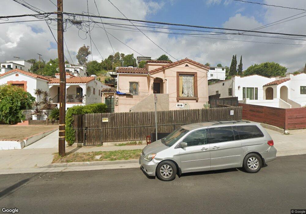
1211 N Hazard Ave Los Angeles, CA 90063
Estimated Value: $784,000 - $878,000
4
Beds
2
Baths
2,034
Sq Ft
$404/Sq Ft
Est. Value
About This Home
This home is located at 1211 N Hazard Ave, Los Angeles, CA 90063 and is currently estimated at $820,845, approximately $403 per square foot. 1211 N Hazard Ave is a home located in Los Angeles County with nearby schools including Robert F. Kennedy Elementary School, Belvedere Middle School, and Engineering And Technology Academy At Esteban E. Torres High No. 3.
Ownership History
Date
Name
Owned For
Owner Type
Purchase Details
Closed on
Sep 6, 1996
Sold by
Perez Bartolo P and Perez Maria
Bought by
Mayorga Marco A
Current Estimated Value
Home Financials for this Owner
Home Financials are based on the most recent Mortgage that was taken out on this home.
Original Mortgage
$161,513
Outstanding Balance
$14,078
Interest Rate
8.37%
Mortgage Type
FHA
Estimated Equity
$806,767
Create a Home Valuation Report for This Property
The Home Valuation Report is an in-depth analysis detailing your home's value as well as a comparison with similar homes in the area
Home Values in the Area
Average Home Value in this Area
Purchase History
| Date | Buyer | Sale Price | Title Company |
|---|---|---|---|
| Mayorga Marco A | $165,000 | North American Title Company |
Source: Public Records
Mortgage History
| Date | Status | Borrower | Loan Amount |
|---|---|---|---|
| Open | Mayorga Marco A | $161,513 |
Source: Public Records
Tax History Compared to Growth
Tax History
| Year | Tax Paid | Tax Assessment Tax Assessment Total Assessment is a certain percentage of the fair market value that is determined by local assessors to be the total taxable value of land and additions on the property. | Land | Improvement |
|---|---|---|---|---|
| 2025 | $4,457 | $268,703 | $122,133 | $146,570 |
| 2024 | $4,457 | $263,436 | $119,739 | $143,697 |
| 2023 | $4,220 | $258,272 | $117,392 | $140,880 |
| 2022 | $4,049 | $253,209 | $115,091 | $138,118 |
| 2021 | $3,996 | $248,245 | $112,835 | $135,410 |
| 2020 | $4,018 | $245,701 | $111,679 | $134,022 |
| 2019 | $3,888 | $240,885 | $109,490 | $131,395 |
| 2018 | $3,786 | $236,163 | $107,344 | $128,819 |
| 2016 | $3,623 | $226,995 | $103,177 | $123,818 |
| 2015 | $3,573 | $223,587 | $101,628 | $121,959 |
| 2014 | $3,578 | $219,208 | $99,638 | $119,570 |
Source: Public Records
Map
Nearby Homes
- 0 Ramboz Dr Unit 41107434
- 3968 Ramboz Dr
- 1309 N Hazard Ave
- 3917 Dwiggins St
- 3924 Dwiggins St
- 4156 Woolwine Dr
- 3717 Woolwine Dr
- 3901 Snow Dr
- 3945 Woolwine Dr
- 1128 N Bonnie Beach Place
- 1151 Miller Ave
- 3932 City Terrace Dr
- 1178 Buelah Ave
- 3873 Dwiggins St
- 3606 Ramboz Dr
- 0 Marengo Unit IG24210576
- 1268 La Veque St
- 3837 Dwiggins St
- 114 N Bonnie Beach Place
- 52270110 08 N Bonnie Beach Place
- 1217 N Hazard Ave
- 1207 N Hazard Ave
- 1221 N Hazard Ave
- 1201 N Hazard Ave
- 1225 N Hazard Ave
- 1169 N Hazard Ave
- 1222 N Bonnie Beach Place
- 1226 N Bonnie Beach Place
- 1210 N Bonnie Beach Place
- 1231 N Hazard Ave
- 1230 N Bonnie Beach Place
- 1165 N Hazard Ave
- 1208 N Hazard Ave
- 1212 N Hazard Ave
- 1216 N Hazard Ave
- 1204 N Hazard Ave
- 1200 N Hazard Ave
- 1218 N Bonnie Beach Place
- 1234 N Bonnie Beach Place
- 1237 N Hazard Ave