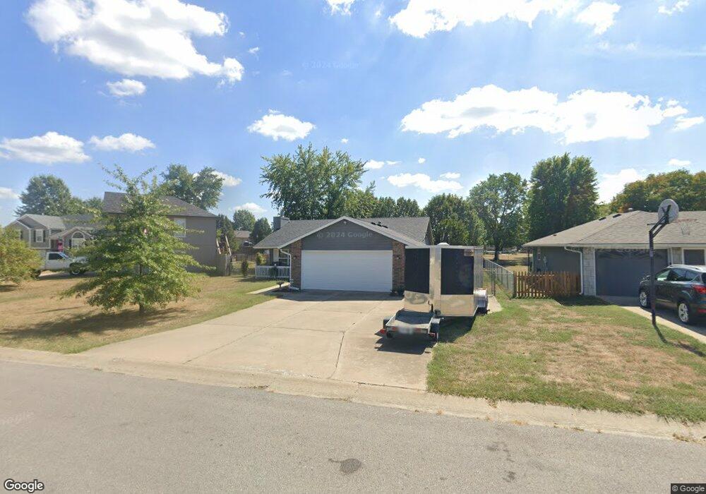
1211 SW Dean Dr Grain Valley, MO 64029
Estimated Value: $279,000 - $309,000
3
Beds
2
Baths
1,243
Sq Ft
$232/Sq Ft
Est. Value
About This Home
This home is located at 1211 SW Dean Dr, Grain Valley, MO 64029 and is currently estimated at $288,206, approximately $231 per square foot. 1211 SW Dean Dr is a home located in Jackson County with nearby schools including Grain Valley High School.
Ownership History
Date
Name
Owned For
Owner Type
Purchase Details
Closed on
May 29, 1997
Sold by
H Campbell Construction Co Inc
Bought by
Major Robert W and Major Nancy K
Current Estimated Value
Home Financials for this Owner
Home Financials are based on the most recent Mortgage that was taken out on this home.
Original Mortgage
$67,360
Outstanding Balance
$9,362
Interest Rate
8.17%
Mortgage Type
Purchase Money Mortgage
Estimated Equity
$278,844
Create a Home Valuation Report for This Property
The Home Valuation Report is an in-depth analysis detailing your home's value as well as a comparison with similar homes in the area
Home Values in the Area
Average Home Value in this Area
Purchase History
| Date | Buyer | Sale Price | Title Company |
|---|---|---|---|
| Major Robert W | -- | Stewart Title Inc |
Source: Public Records
Mortgage History
| Date | Status | Borrower | Loan Amount |
|---|---|---|---|
| Open | Major Robert W | $67,360 |
Source: Public Records
Tax History Compared to Growth
Tax History
| Year | Tax Paid | Tax Assessment Tax Assessment Total Assessment is a certain percentage of the fair market value that is determined by local assessors to be the total taxable value of land and additions on the property. | Land | Improvement |
|---|---|---|---|---|
| 2025 | $2,825 | $33,419 | $8,081 | $25,338 |
| 2024 | $2,719 | $34,299 | $5,565 | $28,734 |
| 2023 | $2,719 | $34,299 | $6,095 | $28,204 |
| 2022 | $2,291 | $25,270 | $6,090 | $19,180 |
| 2021 | $2,237 | $25,270 | $6,090 | $19,180 |
| 2020 | $2,261 | $25,197 | $6,090 | $19,107 |
| 2019 | $2,215 | $25,197 | $6,090 | $19,107 |
| 2018 | $910,955 | $21,589 | $2,774 | $18,815 |
| 2017 | $2,007 | $21,589 | $2,774 | $18,815 |
| 2016 | $2,007 | $21,337 | $3,532 | $17,805 |
| 2014 | $1,982 | $20,919 | $3,463 | $17,456 |
Source: Public Records
Map
Nearby Homes
- 509 SW Joseph Ct
- 1418 SW Blue Branch Dr
- 401 S Minter Rd
- 1024 Christie Ln
- 1215 SW Lone Star Ct
- 636 SW Lakeview Dr
- 719 S Minter Rd
- 1214 SW Windcrest Ct
- 200 Cross Creek Ln
- 1219 SW Windcrest Ct
- 209 SW Cross Creek Dr
- 1309 SW Graystone Cir
- 1402 NW Broadway Throughway
- 207 Pebblebrook St
- 714 SW Brome Dr
- 1203 SW Lakeview Dr
- 725 SW Tisha Ln
- 1235 NW Ashley Ln
- 640 SW Crestview Dr
- 1200 SW Foxtail Dr
- 1209 SW Dean Dr
- 1215 SW Dean Dr
- 1207 SW Dean Dr
- 1222 SW Duster Ct
- 1224 SW Duster Ct
- 1210 SW Dean Dr
- 1212 SW Dean Dr
- 1214 SW Dean Dr
- 1208 SW Dean Dr
- 403 SW Joseph Ln
- 1205 SW Dean Dr
- 1300 SW Dean Dr
- 1225 SW Duster Ct
- 1204 SW Dean Dr
- 410 SW Hamilton Ln
- 407 SW Joseph Ln
- 412 SW Hamilton Ln
- 1206 SW Dean Dr
- 1302 SW Dean Dr
- 1303 SW Dean Dr