12110 Beavans Rd Fort Wayne, IN 46819
Estimated Value: $226,000 - $281,271
3
Beds
2
Baths
1,519
Sq Ft
$168/Sq Ft
Est. Value
About This Home
This home is located at 12110 Beavans Rd, Fort Wayne, IN 46819 and is currently estimated at $255,318, approximately $168 per square foot. 12110 Beavans Rd is a home located in Allen County with nearby schools including Heritage Junior/Senior High School and St. Joseph Hessen Cassel School.
Ownership History
Date
Name
Owned For
Owner Type
Purchase Details
Closed on
Aug 30, 2024
Sold by
Sowles Kyle E
Bought by
Mccoy Kylee
Current Estimated Value
Home Financials for this Owner
Home Financials are based on the most recent Mortgage that was taken out on this home.
Original Mortgage
$176,027
Outstanding Balance
$174,144
Interest Rate
6.73%
Mortgage Type
FHA
Estimated Equity
$81,174
Purchase Details
Closed on
Jun 17, 2021
Sold by
Mccoy Paul E
Bought by
Sowles Kyle E
Home Financials for this Owner
Home Financials are based on the most recent Mortgage that was taken out on this home.
Original Mortgage
$140,000
Interest Rate
2.9%
Mortgage Type
New Conventional
Purchase Details
Closed on
Jun 11, 2021
Sold by
Mccoy Paul E
Bought by
Sowles Kyle E
Home Financials for this Owner
Home Financials are based on the most recent Mortgage that was taken out on this home.
Original Mortgage
$140,000
Interest Rate
2.9%
Mortgage Type
New Conventional
Create a Home Valuation Report for This Property
The Home Valuation Report is an in-depth analysis detailing your home's value as well as a comparison with similar homes in the area
Home Values in the Area
Average Home Value in this Area
Purchase History
| Date | Buyer | Sale Price | Title Company |
|---|---|---|---|
| Mccoy Kylee | $265,000 | Centurion Land Title | |
| Sowles Kyle E | -- | Centurion Land Title Inc | |
| Sowles Kyle E | $160,000 | Centurion Land Title Inc |
Source: Public Records
Mortgage History
| Date | Status | Borrower | Loan Amount |
|---|---|---|---|
| Open | Mccoy Kylee | $176,027 | |
| Previous Owner | Sowles Kyle E | $140,000 |
Source: Public Records
Tax History Compared to Growth
Tax History
| Year | Tax Paid | Tax Assessment Tax Assessment Total Assessment is a certain percentage of the fair market value that is determined by local assessors to be the total taxable value of land and additions on the property. | Land | Improvement |
|---|---|---|---|---|
| 2024 | $1,523 | $211,500 | $19,100 | $192,400 |
| 2023 | $1,523 | $196,900 | $17,400 | $179,500 |
| 2022 | $945 | $165,700 | $17,400 | $148,300 |
| 2021 | $664 | $123,300 | $17,400 | $105,900 |
| 2020 | $664 | $123,300 | $17,400 | $105,900 |
| 2019 | $770 | $132,900 | $20,000 | $112,900 |
| 2018 | $804 | $132,900 | $20,000 | $112,900 |
| 2017 | $684 | $117,300 | $20,000 | $97,300 |
| 2016 | $613 | $110,200 | $20,000 | $90,200 |
| 2014 | $586 | $108,100 | $20,000 | $88,100 |
| 2013 | $591 | $107,200 | $20,000 | $87,200 |
Source: Public Records
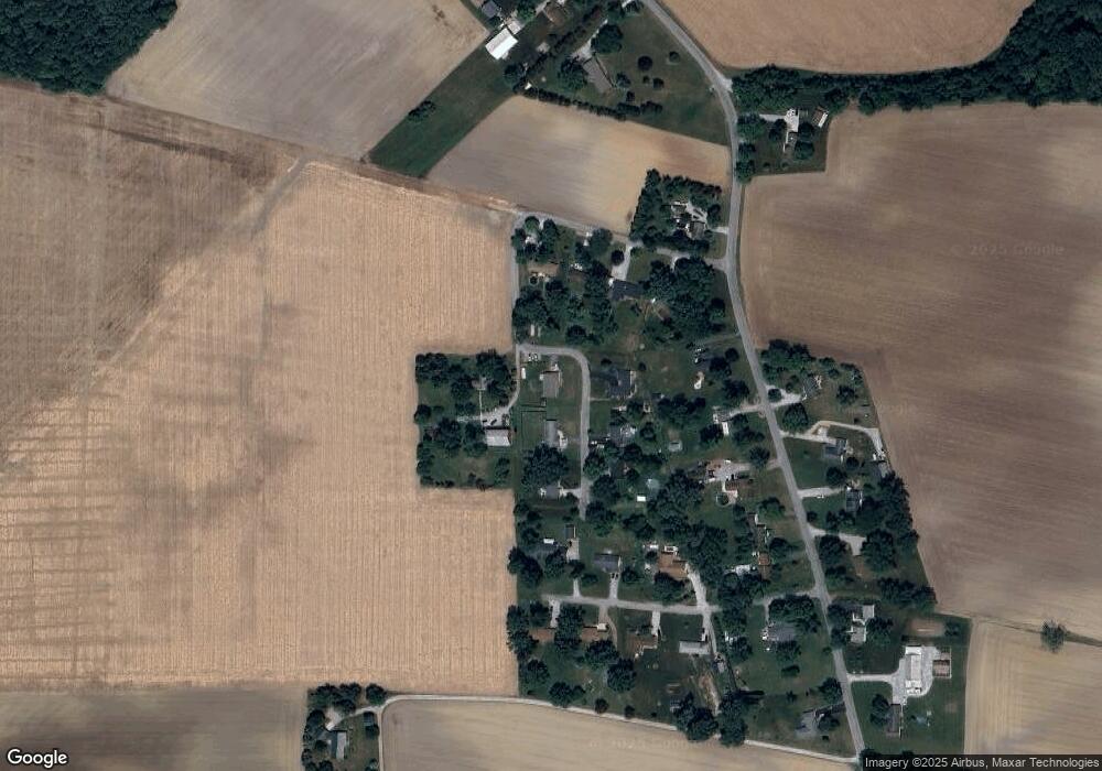
Map
Nearby Homes
- 4011 Bostick Rd
- 4710 Monroeville Rd
- 12717 US Highway 27 S
- 12727 S US Highway 27
- 0 Winchester Rd Unit LotWP001
- 10728 Thiele Rd
- 110 E Hamilton Rd
- 1600 Winters Rd
- 105 Bridgeton Ct
- 3102 Crestmont Dr
- 3102 Southwin Dr
- 7922 Dorsett Dr
- 16205 Winchester Rd
- 9126 Redfield Dr
- 5933 Hoagland Rd
- 9014 Hemphill Dr
- 3516 Debeney Dr
- 15735 Thiele Rd
- 7510 Gathings Dr
- 9020 Ashton Pointe Blvd
- 12124 Beavans Rd
- 12107 Beavans Rd
- 2530 Wysstead Dr
- 12125 Beavans Rd
- 2410 Wysstead Dr
- 12134 Beavans Rd
- 2520 Wysstead Dr
- 2510 Wysstead Dr
- 12131 Beavans Rd
- 12026 S Anthony Extension
- 12010 S Anthony Extension
- 12120 S Anthony Extension
- 12139 Beavans Rd
- 2431 Hunts Ln
- 12136 S Anthony Extension
- 2509 Hunts Ln
- 12006 S Anthony Extension
- 2525 Hunts Ln
- 12214 S Anthony Extension
- 12115 S Anthony Extension