1212 Road 317 Perkinston, MS 39573
Estimated Value: $283,029 - $366,000
--
Bed
--
Bath
2,332
Sq Ft
$140/Sq Ft
Est. Value
About This Home
This home is located at 1212 Road 317, Perkinston, MS 39573 and is currently estimated at $325,343, approximately $139 per square foot. 1212 Road 317 is a home located in Hancock County with nearby schools including Hancock North Central Elementary School, Hancock Middle School, and Hancock High School.
Ownership History
Date
Name
Owned For
Owner Type
Purchase Details
Closed on
Oct 12, 2018
Sold by
Ashman Dixon Lee and Ashman Elizabeth Ann
Bought by
Ashman Michael and Ashman Diane
Current Estimated Value
Purchase Details
Closed on
Jun 24, 2016
Sold by
Ashman Sheri
Bought by
Ashman Sarah Anne Elizabeth
Purchase Details
Closed on
Feb 26, 2016
Sold by
Ashman Diane and Ashman Michael
Bought by
Ashman Sheri
Create a Home Valuation Report for This Property
The Home Valuation Report is an in-depth analysis detailing your home's value as well as a comparison with similar homes in the area
Home Values in the Area
Average Home Value in this Area
Purchase History
| Date | Buyer | Sale Price | Title Company |
|---|---|---|---|
| Ashman Michael | -- | -- | |
| Ashman Sarah Anne Elizabeth | -- | -- | |
| Ashman Sheri | -- | -- |
Source: Public Records
Tax History Compared to Growth
Tax History
| Year | Tax Paid | Tax Assessment Tax Assessment Total Assessment is a certain percentage of the fair market value that is determined by local assessors to be the total taxable value of land and additions on the property. | Land | Improvement |
|---|---|---|---|---|
| 2024 | $1,885 | $19,796 | $5,060 | $14,736 |
| 2023 | $1,803 | $18,930 | $5,060 | $13,870 |
| 2022 | $1,797 | $18,868 | $5,060 | $13,808 |
| 2021 | $1,497 | $18,868 | $5,060 | $13,808 |
| 2020 | $1,450 | $17,717 | $5,060 | $12,657 |
| 2019 | $1,450 | $17,717 | $5,060 | $12,657 |
| 2018 | $1,268 | $15,875 | $2,552 | $13,323 |
| 2017 | $1,269 | $15,876 | $2,553 | $13,323 |
| 2016 | $1,230 | $15,888 | $2,565 | $13,323 |
| 2015 | $1,054 | $14,812 | $2,700 | $12,112 |
| 2014 | $1,012 | $14,653 | $2,700 | $11,953 |
| 2013 | $963 | $14,641 | $2,688 | $11,953 |
Source: Public Records
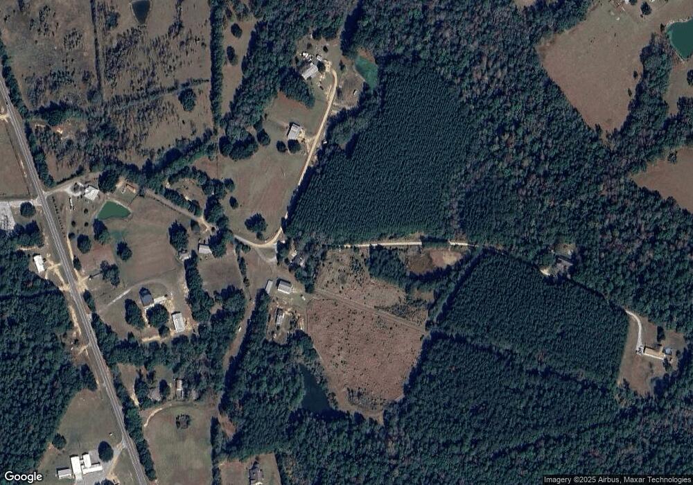
Map
Nearby Homes
- 0 Mississippi 603 Unit LotWP001
- 29113 Mississippi 603
- 5121 Jordan Rd
- 0 Caesar Necaise Rd
- 4011 Stewart Ln
- 5677 Highway 53
- 26141 Highway 603
- 7060 Sunfish Cove
- 27585 V Bar Rd
- 7045 Sunfish Cove
- 0 Standard Dedeaux Rd Unit 4102418
- 0 Sunfish Cove Unit 4115604
- 26004 Bowfin Dr
- 1000 W Bull Creek Dr
- 0 Bluegill Point
- Lot 85 Perch Place
- 26094 Rainbow Dr
- 26126 Quail Ridge Cir
- 12 Racoon Cove
- Lot 41 Antelope Ln
- 1414 Road 317
- 1150 Road 317
- 29000 Suzy Q Rd
- 1145 Road 317
- 29200 Suzy Q Rd
- 1100 Road 317
- 28528 Highway 603
- 6 Lees Ln
- 29056 Highway 603
- 28508 Highway 603
- 28518 Highway 603
- 29112 Highway 603
- 1040 Road 317
- 29014 Shiloh Church Rd
- 4101 Road 319
- 28490 Highway 603
- 29137 Highway 603
- 29263 Highway 603
- 29113 Highway 603
- 28401 Highway 603