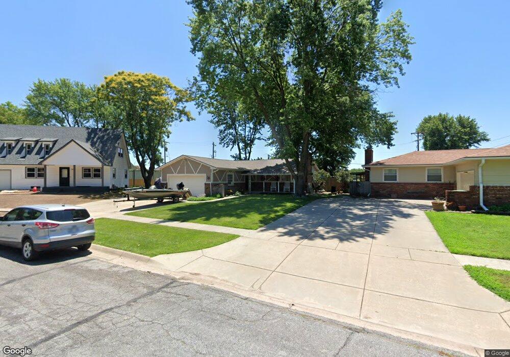
1212 Sunset Ct Mulvane, KS 67110
Mulvane AreaEstimated Value: $193,975 - $215,000
About This Home
This home is located at 1212 Sunset Ct, Mulvane, KS 67110 and is currently estimated at $204,488, approximately $165 per square foot. 1212 Sunset Ct is a home located in Sedgwick County with nearby schools including Munson Primary School, Mulvane Grade School, and Mulvane Middle School.
Ownership History
We collect this data history from publicly available records. To have your information removed, we recommend requesting removal directly through your county’s website.
Purchase Details
Home Financials for this Owner
Home Financials are based on the most recent Mortgage that was taken out on this home.Home Values in the Area
Average Home Value in this Area
Purchase History
We collect this data history from publicly available records. To have your information removed, we recommend requesting removal directly through your county’s website.
| Date | Buyer | Sale Price | Title Company |
|---|---|---|---|
| -- | Columbian Natl Title Ins Co |
Mortgage History
We collect this data history from publicly available records. To have your information removed, we recommend requesting removal directly through your county’s website.
| Date | Status | Borrower | Loan Amount |
|---|---|---|---|
| Open | $100,000 | ||
| Closed | $40,000 | ||
| Closed | $90,000 | ||
| Closed | $27,000 | ||
| Closed | $72,000 |
Tax History
We collect this data history from publicly available records. To have your information removed, we recommend requesting removal directly through your county’s website.
| Year | Tax Paid | Tax Assessment Tax Assessment Total Assessment is a certain percentage of the fair market value that is determined by local assessors to be the total taxable value of land and additions on the property. | Land | Improvement |
|---|---|---|---|---|
| 2025 | $2,689 | $19,366 | $4,669 | $14,697 |
| 2023 | $2,689 | $17,239 | $3,473 | $13,766 |
| 2022 | $2,529 | $17,239 | $3,278 | $13,961 |
| 2021 | $2,236 | $16,262 | $2,588 | $13,674 |
| 2020 | $2,047 | $15,054 | $2,588 | $12,466 |
| 2019 | $2,121 | $15,054 | $2,588 | $12,466 |
| 2018 | $1,955 | $14,341 | $1,967 | $12,374 |
| 2017 | $1,823 | $0 | $0 | $0 |
| 2016 | $1,775 | $0 | $0 | $0 |
| 2015 | $1,643 | $0 | $0 | $0 |
| 2014 | $1,558 | $0 | $0 | $0 |
Map
- 1209 Sunset Dr
- 10100 S Rock Rd
- 211 E English St
- 115 April Dr
- 146 Chestnut Dr
- 109 Maplewood St
- 105 E Burlington Dr
- 103 W Rockwood Blvd
- 16 N Circle Dr
- 503 Eastview Dr
- 1611 N Rock Rd
- 214 E Country Walk Ln
- 703 Heidi Ln
- 742 Erin Ln
- 831 E Ruby Ct
- 1651 N Diamond Cir
- 1647 N Diamond Cir
- 1616 N Diamond Cir
- 911 E Jade Ct
- 918 E Jade Ct
Ask me questions while you tour the home.