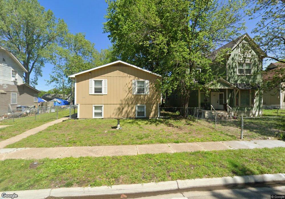
1212 SW Throop St Topeka, KS 66604
Central Park NeighborhoodEstimated Value: $124,000 - $189,000
8
Beds
4
Baths
1,616
Sq Ft
$98/Sq Ft
Est. Value
About This Home
This home is located at 1212 SW Throop St, Topeka, KS 66604 and is currently estimated at $158,562, approximately $98 per square foot. 1212 SW Throop St is a home located in Shawnee County with nearby schools including Randolph Elementary School, Robinson Middle School, and Topeka High School.
Ownership History
Date
Name
Owned For
Owner Type
Purchase Details
Closed on
Oct 17, 2022
Sold by
Michael T And Maria Wilson Revocable Tru
Bought by
1318 Sw Buchanan Llc
Current Estimated Value
Purchase Details
Closed on
Mar 3, 2014
Sold by
Barkes David M and Barkes Kathy J
Bought by
Wilson Michael T and Wilson Maria
Home Financials for this Owner
Home Financials are based on the most recent Mortgage that was taken out on this home.
Original Mortgage
$58,960
Interest Rate
4.47%
Mortgage Type
Future Advance Clause Open End Mortgage
Create a Home Valuation Report for This Property
The Home Valuation Report is an in-depth analysis detailing your home's value as well as a comparison with similar homes in the area
Home Values in the Area
Average Home Value in this Area
Purchase History
| Date | Buyer | Sale Price | Title Company |
|---|---|---|---|
| 1318 Sw Buchanan Llc | -- | -- | |
| Wilson Michael T | -- | Lawyers Title Of Topeka Inc |
Source: Public Records
Mortgage History
| Date | Status | Borrower | Loan Amount |
|---|---|---|---|
| Previous Owner | Wilson Michael T | $58,960 |
Source: Public Records
Tax History Compared to Growth
Tax History
| Year | Tax Paid | Tax Assessment Tax Assessment Total Assessment is a certain percentage of the fair market value that is determined by local assessors to be the total taxable value of land and additions on the property. | Land | Improvement |
|---|---|---|---|---|
| 2025 | $2,357 | $18,177 | -- | -- |
| 2023 | $2,357 | $16,026 | $0 | $0 |
| 2022 | $2,224 | $14,977 | $0 | $0 |
| 2021 | $2,133 | $13,616 | $0 | $0 |
| 2020 | $1,519 | $9,884 | $0 | $0 |
| 2019 | $1,497 | $9,690 | $0 | $0 |
| 2018 | $1,454 | $9,408 | $0 | $0 |
| 2017 | $1,457 | $9,408 | $0 | $0 |
| 2014 | $1,312 | $8,419 | $0 | $0 |
Source: Public Records
Map
Nearby Homes
- 1281 SW Buchanan St
- 1225 SW Throop St
- 1301 SW Fillmore St Unit Main Floor Apt. 12
- 0 SW Buchanan St
- 1300 SW Fillmore St
- 1415 SW Fillmore St
- 1224 SW Garfield Ave
- 710 SW 13th St
- 1015 SW 16th St
- 1620 SW Clay St
- 1610 SW Central Park Ave
- 1630 SW Buchanan St
- 1531 SW 15th St
- 1200 SW Taylor St
- 1020 SW 11th St
- 918 SW 17th St
- 1532 SW Western Ave
- 1700 SW Buchanan St
- 1031 SW Clay St
- 1255 SW Tyler St
- 1216 SW Throop St
- 1220 SW Throop St
- 1259 SW Buchanan St
- 1255 SW Buchanan St
- 1215 SW Huntoon St
- 1217 SW Huntoon St
- 1224 SW Throop St
- 1209 SW Throop St
- 1211 SW Throop St
- 1219 SW Huntoon St
- 1269 SW Buchanan St
- 1215 SW Throop St
- 1221 SW Huntoon St
- 1221 SW Throop St
- 1273 SW Buchanan St
- 1252 SW Lincoln St
- 1262 SW Lincoln St
- 1264 SW Lincoln St
- 1250 SW Lincoln St
- 1277 SW Buchanan St