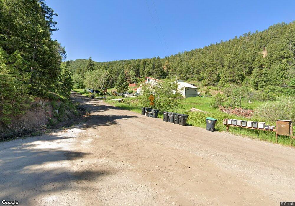
12123 S Maxwell Hill Rd Littleton, CO 80127
Deer Creek NeighborhoodEstimated Value: $662,000 - $895,000
2
Beds
3
Baths
2,365
Sq Ft
$335/Sq Ft
Est. Value
About This Home
This home is located at 12123 S Maxwell Hill Rd, Littleton, CO 80127 and is currently estimated at $793,383, approximately $335 per square foot. 12123 S Maxwell Hill Rd is a home located in Jefferson County with nearby schools including West Jefferson Elementary School, West Jefferson Middle School, and Conifer Senior High School.
Ownership History
Date
Name
Owned For
Owner Type
Purchase Details
Closed on
Feb 26, 2024
Sold by
Roy And Sheryl Reynolds Trust
Bought by
L Tniset Patriots Trust
Current Estimated Value
Purchase Details
Closed on
Mar 5, 2021
Sold by
Robert I Vick And Patricia A Vick Trust
Bought by
The Roy And Sheryl Reynolds Trust
Home Financials for this Owner
Home Financials are based on the most recent Mortgage that was taken out on this home.
Original Mortgage
$440,000
Interest Rate
2.7%
Mortgage Type
New Conventional
Create a Home Valuation Report for This Property
The Home Valuation Report is an in-depth analysis detailing your home's value as well as a comparison with similar homes in the area
Home Values in the Area
Average Home Value in this Area
Purchase History
| Date | Buyer | Sale Price | Title Company |
|---|---|---|---|
| L Tniset Patriots Trust | -- | None Listed On Document | |
| Sunset Patriots Trust | -- | None Listed On Document | |
| L Tniset Patriots Trust | -- | None Listed On Document | |
| The Roy And Sheryl Reynolds Trust | $550,000 | Land Title Guarantee |
Source: Public Records
Mortgage History
| Date | Status | Borrower | Loan Amount |
|---|---|---|---|
| Previous Owner | The Roy And Sheryl Reynolds Trust | $440,000 |
Source: Public Records
Tax History Compared to Growth
Tax History
| Year | Tax Paid | Tax Assessment Tax Assessment Total Assessment is a certain percentage of the fair market value that is determined by local assessors to be the total taxable value of land and additions on the property. | Land | Improvement |
|---|---|---|---|---|
| 2024 | $5,427 | $50,129 | $10,445 | $39,684 |
| 2023 | $5,427 | $60,573 | $20,889 | $39,684 |
| 2022 | $4,357 | $47,943 | $16,132 | $31,811 |
| 2021 | $3,756 | $49,323 | $16,597 | $32,726 |
| 2020 | $3,362 | $44,998 | $14,029 | $30,969 |
| 2019 | $3,313 | $44,998 | $14,029 | $30,969 |
| 2018 | $3,165 | $42,229 | $13,691 | $28,538 |
| 2017 | $2,772 | $42,229 | $13,691 | $28,538 |
| 2016 | $2,523 | $37,716 | $12,395 | $25,321 |
| 2015 | $2,343 | $37,716 | $12,395 | $25,321 |
| 2014 | $2,343 | $33,844 | $13,251 | $20,593 |
Source: Public Records
Map
Nearby Homes
- 11953 S Maxwell Hill Rd
- 15450 Elk Mountain Trail
- 11933 S Maxwell Hill Rd
- 15111 Elk Mountain Trail
- 11725 S Maxwell Hill Rd
- 14840 Elk Mountain Trail
- 11917 Flat Top Trail
- 12346 Shiloh Point Dr
- 11696 Trappers Mountain Trail
- 11220 S Deer Creek Rd
- 12421 High Country Trail
- 0 W Sampson Rd Unit 9064379
- 12954 Kuehster Rd
- 13326 Kuehster Rd
- 13854 N Trail Cir
- 15941 W Sampson Rd
- 13007 Kuehster Rd
- 0 Sampson Rd Unit REC8790688
- 13864 N Trail Cir
- 13884 N Trail Cir
- 12195 Saddle Mountain Trail
- 12135 Saddle Mountain Trail
- 0 S Maxwell Hill Rd Unit 4410780
- 0 S Maxwell Hill Rd Unit 964286
- 0 S Maxwell Hill Rd Unit 1005204
- 0 S Maxwell Hill Rd Unit 3095657
- 0 S Maxwell Hill Rd Unit 2197449
- 0 S Maxwell Hill Rd Unit 4998668
- 0 S Maxwell Hill Rd Unit 1850155
- 0 S Maxwell Hill Rd Unit 1021436
- 12213 S Maxwell Hill Rd
- 12164 Saddle Mountain Trail
- 12085 Saddle Mountain Trail
- 11972 S Maxwell Hill Rd
- 12024 Saddle Mountain Trail
- 11962 S Maxwell Hill Rd
- 11912 S Maxwell Hill Rd
- 11903 S Maxwell Hill Rd
- 11873 S Maxwell Hill Rd
- 00 Maxwell Hill Rd