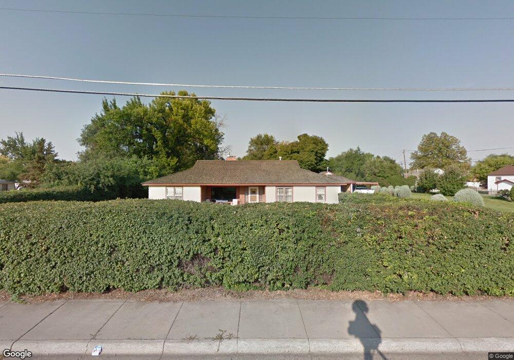
1214 17th St W Billings, MT 59102
East Central Billings NeighborhoodEstimated Value: $312,000 - $351,000
3
Beds
2
Baths
1,760
Sq Ft
$190/Sq Ft
Est. Value
About This Home
This home is located at 1214 17th St W, Billings, MT 59102 and is currently estimated at $334,339, approximately $189 per square foot. 1214 17th St W is a home located in Yellowstone County with nearby schools including Burlington School, Lewis & Clark Junior High School, and Billings West High School.
Ownership History
Date
Name
Owned For
Owner Type
Purchase Details
Closed on
Feb 1, 2017
Sold by
Lien Nancy
Bought by
Dangerfield Robin and Dangerfield Tracy
Current Estimated Value
Home Financials for this Owner
Home Financials are based on the most recent Mortgage that was taken out on this home.
Original Mortgage
$151,547
Outstanding Balance
$25,518
Interest Rate
4.2%
Mortgage Type
Commercial
Estimated Equity
$308,821
Purchase Details
Closed on
Jan 1, 2016
Sold by
Lien Edward
Bought by
Lien Nancy
Create a Home Valuation Report for This Property
The Home Valuation Report is an in-depth analysis detailing your home's value as well as a comparison with similar homes in the area
Home Values in the Area
Average Home Value in this Area
Purchase History
| Date | Buyer | Sale Price | Title Company |
|---|---|---|---|
| Dangerfield Robin | -- | Stewart Title | |
| Lien Nancy | -- | None Available |
Source: Public Records
Mortgage History
| Date | Status | Borrower | Loan Amount |
|---|---|---|---|
| Open | Dangerfield Robin | $151,547 |
Source: Public Records
Tax History Compared to Growth
Tax History
| Year | Tax Paid | Tax Assessment Tax Assessment Total Assessment is a certain percentage of the fair market value that is determined by local assessors to be the total taxable value of land and additions on the property. | Land | Improvement |
|---|---|---|---|---|
| 2025 | $3,053 | $302,900 | $64,934 | $237,966 |
| 2024 | $3,053 | $278,600 | $56,677 | $221,923 |
| 2023 | $3,126 | $278,600 | $56,677 | $221,923 |
| 2022 | $2,770 | $214,000 | $56,950 | $157,050 |
| 2021 | $2,569 | $214,000 | $0 | $0 |
| 2020 | $2,509 | $198,200 | $0 | $0 |
| 2019 | $2,403 | $198,200 | $0 | $0 |
| 2018 | $2,482 | $204,100 | $0 | $0 |
| 2017 | $1,889 | $204,100 | $0 | $0 |
| 2016 | $2,143 | $181,500 | $0 | $0 |
| 2015 | $2,095 | $181,500 | $0 | $0 |
| 2014 | $1,777 | $79,076 | $0 | $0 |
Source: Public Records
Map
Nearby Homes
- 1704 Burlington Ave
- 1539 Burlington Ave
- 1720 Lewis Ave
- 1640 Lewis Ave
- 1834 Belvedere Dr
- 1815 Clark Ave
- 1540 Clark Ave
- 1540 Yellowstone Ave Unit D
- 3 Carrie Lynn Dr
- 1537 Wyoming Ave Unit D
- 1604 Wyoming Ave
- 2013 Clark Ave
- 621 Nelson Dr
- 1116 Lendel Ln
- 1505 Avenue F
- 2043 Lewis Ave
- 2020 Plaza Dr
- 1607 21st St W
- 2035 Avenue D
- 1232 Burlington Ave
- 1708 Alderson Ave
- 1704 Alderson Ave
- 1215 Blair Ln
- 1709 Burlington Ave
- 1712 Alderson Ave
- 1204 17th St W
- 1713 Burlington Ave
- 1648 Alderson Ave
- 1213 17th St W
- 1724 Alderson Ave
- 1717 Burlington Ave
- 1644 Alderson Ave
- 1209 17th St W
- 1640 Alderson Ave
- 1728 Alderson Ave
- 1707 Alderson Ave
- 1703 Alderson Ave
- 1711 Alderson Ave
- 1210 Blair Ln
- 1210 Blair Ln