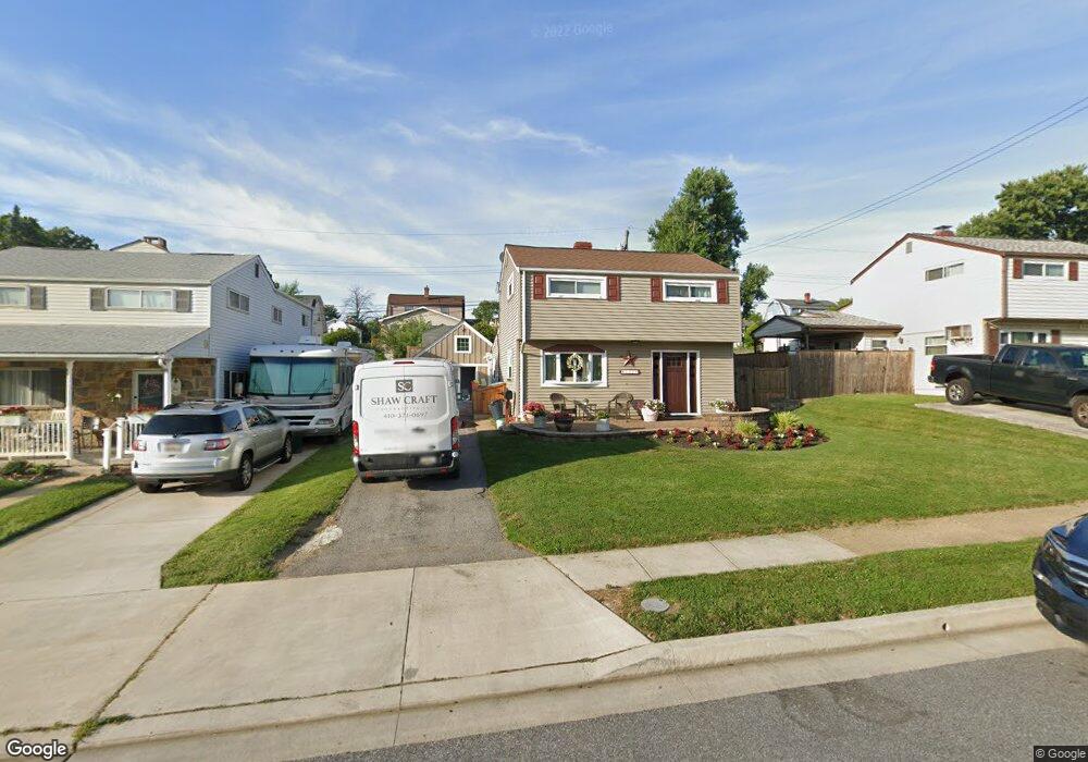
1214 Locust Ave Halethorpe, MD 21227
Estimated Value: $348,000 - $386,000
Studio
1
Bath
1,612
Sq Ft
$232/Sq Ft
Est. Value
About This Home
This home is located at 1214 Locust Ave, Halethorpe, MD 21227 and is currently estimated at $373,548, approximately $231 per square foot. 1214 Locust Ave is a home located in Baltimore County with nearby schools including Arbutus Elementary School, Arbutus Middle School, and Lansdowne High School.
Ownership History
Date
Name
Owned For
Owner Type
Purchase Details
Closed on
Nov 17, 2023
Sold by
Dackbar Llc
Bought by
Shaw Martin Edward and Shaw Sherri Gray
Current Estimated Value
Purchase Details
Closed on
Mar 21, 2011
Sold by
Kelly Rachel E
Bought by
Shaw Martin Edward and Gray Sherri
Home Financials for this Owner
Home Financials are based on the most recent Mortgage that was taken out on this home.
Original Mortgage
$236,425
Interest Rate
4.83%
Mortgage Type
FHA
Purchase Details
Closed on
Feb 25, 2011
Sold by
Kelly Rachel E
Bought by
Shaw Martin Edward and Gray Sherri
Home Financials for this Owner
Home Financials are based on the most recent Mortgage that was taken out on this home.
Original Mortgage
$236,425
Interest Rate
4.83%
Mortgage Type
FHA
Purchase Details
Closed on
Jan 15, 2003
Sold by
Brown Michael
Bought by
Kelly Rachel E
Purchase Details
Closed on
Dec 17, 1999
Sold by
Watson Patricia A
Bought by
Brown Michael
Create a Home Valuation Report for This Property
The Home Valuation Report is an in-depth analysis detailing your home's value as well as a comparison with similar homes in the area
Home Values in the Area
Average Home Value in this Area
Purchase History
| Date | Buyer | Sale Price | Title Company |
|---|---|---|---|
| Shaw Martin Edward | $1,600 | None Listed On Document | |
| Shaw Martin Edward | $245,000 | -- | |
| Shaw Martin Edward | $245,000 | -- | |
| Kelly Rachel E | $150,000 | -- | |
| Brown Michael | $117,500 | -- |
Source: Public Records
Mortgage History
| Date | Status | Borrower | Loan Amount |
|---|---|---|---|
| Previous Owner | Shaw Martin Edward | $236,425 | |
| Previous Owner | Shaw Martin Edward | $236,425 |
Source: Public Records
Tax History
| Year | Tax Paid | Tax Assessment Tax Assessment Total Assessment is a certain percentage of the fair market value that is determined by local assessors to be the total taxable value of land and additions on the property. | Land | Improvement |
|---|---|---|---|---|
| 2025 | $4,134 | $301,867 | -- | -- |
| 2024 | $4,134 | $292,300 | $80,400 | $211,900 |
| 2023 | $2,052 | $274,367 | $0 | $0 |
| 2022 | $3,841 | $256,433 | $0 | $0 |
| 2021 | $3,672 | $238,500 | $60,400 | $178,100 |
| 2020 | $3,672 | $233,067 | $0 | $0 |
| 2019 | $3,576 | $227,633 | $0 | $0 |
| 2018 | $3,473 | $222,200 | $60,400 | $161,800 |
| 2017 | $3,247 | $213,633 | $0 | $0 |
| 2016 | $3,371 | $205,067 | $0 | $0 |
| 2015 | $3,371 | $196,500 | $0 | $0 |
| 2014 | $3,371 | $196,500 | $0 | $0 |
Source: Public Records
Map
Nearby Homes
- 1211 Poplar Ave
- 1251 Vogt Ave
- 1242 Vogt Ave
- 5402 Council St
- 1258 Linden Ave
- 1207 Brewster St
- 1328 Stevens Ave
- 5522 Ashbourne Rd
- 1212 Seven Oaks Rd
- 5521 Willys Ave
- 5536 Gayland Rd
- 1200 Seven Oaks Rd
- 1416 Sulphur Spring Rd
- 1078 Downton Rd
- 5605 Oregon Ave
- 4824 Carmella Dr
- 1027 Downton Rd
- 1015 Stormont Cir
- 0 Dewitt Rd
- 5657 Chelwynd Rd
- 1216 Locust Ave
- 1212 Locust Ave
- 1218 Locust Ave
- 1210 Locust Ave
- 1217 Poplar Ave
- 1215 Poplar Ave
- 1207 Poplar Ave
- 1219 Poplar Ave
- 1213 Poplar Ave
- 1213 Locust Ave
- 1209 Poplar Ave
- 1220 Locust Ave
- 1221 Poplar Ave
- 1211 Locust Ave
- 1215 Locust Ave
- 1223 Poplar Ave
- 1206 Locust Ave
- 1222 Locust Ave
- 1201 Birch Ave
- 1217 Locust Ave
Your Personal Tour Guide
Ask me questions while you tour the home.