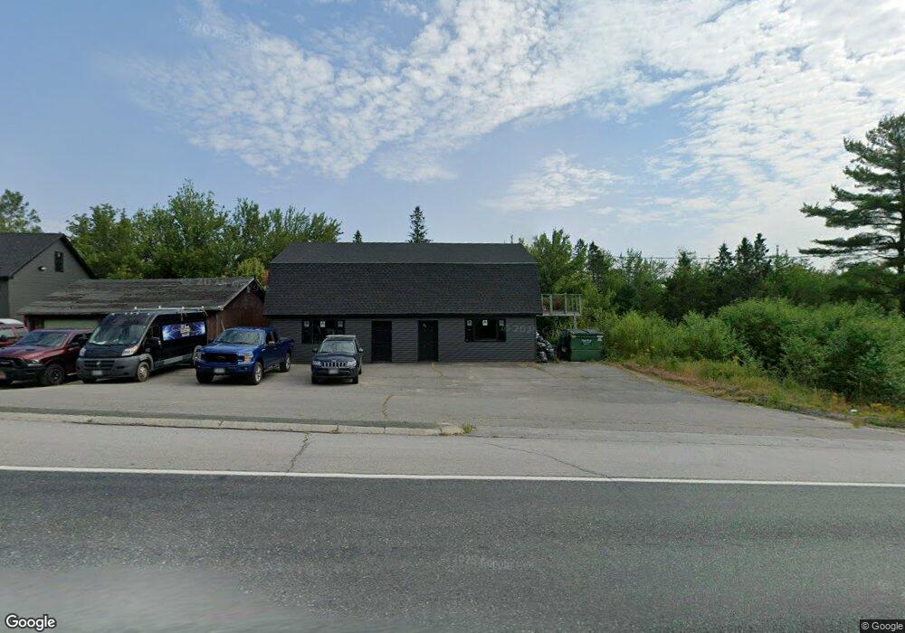
1214 Us Hwy 1 Hancock, ME 04640
Estimated Value: $319,174 - $508,000
--
Bed
--
Bath
--
Sq Ft
2.1
Acres
About This Home
This home is located at 1214 Us Hwy 1, Hancock, ME 04640 and is currently estimated at $431,794. 1214 Us Hwy 1 is a home with nearby schools including Sumner Memorial High School.
Ownership History
Date
Name
Owned For
Owner Type
Purchase Details
Closed on
May 13, 2022
Sold by
Jones Sean C
Bought by
Jones Sean C and Jones Lisa M
Current Estimated Value
Home Financials for this Owner
Home Financials are based on the most recent Mortgage that was taken out on this home.
Original Mortgage
$170,100
Outstanding Balance
$161,663
Interest Rate
5.3%
Mortgage Type
Purchase Money Mortgage
Estimated Equity
$270,131
Purchase Details
Closed on
Dec 20, 2007
Sold by
Jones Sean C
Bought by
Jones Dana B and Jones Sean C
Home Financials for this Owner
Home Financials are based on the most recent Mortgage that was taken out on this home.
Original Mortgage
$71,000
Interest Rate
6.3%
Mortgage Type
Commercial
Create a Home Valuation Report for This Property
The Home Valuation Report is an in-depth analysis detailing your home's value as well as a comparison with similar homes in the area
Home Values in the Area
Average Home Value in this Area
Purchase History
| Date | Buyer | Sale Price | Title Company |
|---|---|---|---|
| Jones Sean C | -- | None Available | |
| Jones Dana B | -- | -- |
Source: Public Records
Mortgage History
| Date | Status | Borrower | Loan Amount |
|---|---|---|---|
| Open | Jones Sean C | $170,100 | |
| Previous Owner | Jones Dana B | $71,000 |
Source: Public Records
Tax History Compared to Growth
Tax History
| Year | Tax Paid | Tax Assessment Tax Assessment Total Assessment is a certain percentage of the fair market value that is determined by local assessors to be the total taxable value of land and additions on the property. | Land | Improvement |
|---|---|---|---|---|
| 2024 | $3,225 | $274,500 | $32,100 | $242,400 |
| 2023 | $2,882 | $274,500 | $32,100 | $242,400 |
| 2022 | $2,882 | $274,500 | $32,100 | $242,400 |
| 2021 | $3,020 | $274,500 | $32,100 | $242,400 |
| 2019 | $1,395 | $130,400 | $37,600 | $92,800 |
| 2018 | $1,434 | $130,400 | $37,600 | $92,800 |
| 2017 | $1,434 | $130,400 | $37,600 | $92,800 |
| 2016 | $1,448 | $131,600 | $37,600 | $94,000 |
| 2015 | $1,362 | $131,600 | $37,600 | $94,000 |
| 2014 | $1,316 | $131,600 | $37,600 | $94,000 |
| 2013 | $1,379 | $138,600 | $37,600 | $101,000 |
Source: Public Records
Map
Nearby Homes
- Lot #5 Leonia Rd
- Lot #2 Leonia Rd
- Lot #3 Leonia Rd
- Lot #4 Leonia Rd
- Lot #1 Leonia Rd
- Lot #6 Leonia Rd
- Lot #8 Leonia Rd
- Lot #9 Leonia Rd
- 139 Havey Point Rd
- 34 Highview Ave
- 4 Pine Meadows Dr
- 97 Crabtree Cir
- 32 Taunton Keep
- 35 Patten Ln
- L36 Coffin Rd
- 10 Romeo Blvd
- 136 Taunton Dr
- 76 Taunton Dr
- M 220 L 42 Maine 182
- 82 Falcon Ln
- 1210 U S 1
- 1210 Us Hwy 1
- 1210 Us Hwy 1
- 1210 Us Hwy 1
- 1210 Us Hwy 1
- 1218 Us Hwy 1
- 28 Acadia Ln
- 0 Havey Point Unit 544523
- 0 Havey Point Unit 940509
- 42 Merchant Dr
- 34 Acadia Ln
- 1223 Us Hwy 1
- 57 Old Route 1
- 1235 Us Hwy 1
- 0 Emms Way Unit 825245
- 0 Emms Way Unit 619921
- 0 Emms Way Unit 1020432
- 11 Tabor Place
- 1239 Route 1
- 1179 Us Hwy 1