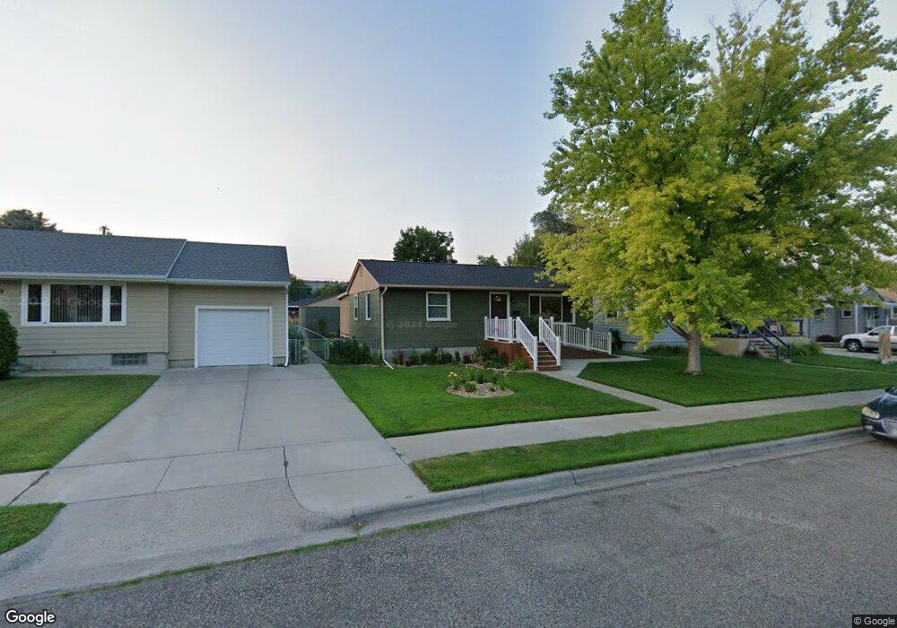
1215 Avenue D Billings, MT 59102
Hilands NeighborhoodEstimated Value: $329,009 - $351,000
4
Beds
2
Baths
1,956
Sq Ft
$173/Sq Ft
Est. Value
About This Home
This home is located at 1215 Avenue D, Billings, MT 59102 and is currently estimated at $338,252, approximately $172 per square foot. 1215 Avenue D is a home located in Yellowstone County with nearby schools including Highland Elementary School, Lewis & Clark Junior High School, and Billings Senior High School.
Ownership History
Date
Name
Owned For
Owner Type
Purchase Details
Closed on
Feb 23, 2012
Sold by
Ohman Mary
Bought by
Wonder Dennis J and Wonder Becky Jo
Current Estimated Value
Home Financials for this Owner
Home Financials are based on the most recent Mortgage that was taken out on this home.
Original Mortgage
$153,994
Outstanding Balance
$104,791
Interest Rate
3.75%
Mortgage Type
FHA
Estimated Equity
$233,461
Purchase Details
Closed on
Sep 13, 2005
Sold by
Lauwers Roberta J
Bought by
Schleder Thomas M and Schleder Carrie Grace
Home Financials for this Owner
Home Financials are based on the most recent Mortgage that was taken out on this home.
Original Mortgage
$29,900
Interest Rate
5.72%
Mortgage Type
Stand Alone Second
Create a Home Valuation Report for This Property
The Home Valuation Report is an in-depth analysis detailing your home's value as well as a comparison with similar homes in the area
Home Values in the Area
Average Home Value in this Area
Purchase History
We collect this data history from publicly available records. To have your information removed, we recommend requesting removal directly through your county’s website.
| Date | Buyer | Sale Price | Title Company |
|---|---|---|---|
| Wonder Dennis J | -- | Chicago Title | |
| City Of Billings | -- | Chicago Title | |
| Schleder Thomas M | -- | None Available |
Source: Public Records
Mortgage History
We collect this data history from publicly available records. To have your information removed, we recommend requesting removal directly through your county’s website.
| Date | Status | Borrower | Loan Amount |
|---|---|---|---|
| Open | Wonder Dennis J | $153,994 | |
| Previous Owner | Schleder Thomas M | $29,900 | |
| Previous Owner | Schleder Thomas M | $119,600 |
Source: Public Records
Tax History
| Year | Tax Paid | Tax Assessment Tax Assessment Total Assessment is a certain percentage of the fair market value that is determined by local assessors to be the total taxable value of land and additions on the property. | Land | Improvement |
|---|---|---|---|---|
| 2025 | $2,802 | $311,200 | $47,567 | $263,633 |
| 2024 | $2,802 | $277,400 | $44,079 | $233,321 |
| 2023 | $2,803 | $277,400 | $44,079 | $233,321 |
| 2022 | $2,607 | $227,500 | $0 | $0 |
| 2021 | $2,478 | $227,500 | $0 | $0 |
| 2020 | $2,304 | $199,300 | $0 | $0 |
| 2019 | $2,204 | $199,300 | $0 | $0 |
| 2018 | $2,138 | $188,900 | $0 | $0 |
| 2017 | $1,749 | $188,900 | $0 | $0 |
| 2016 | $1,951 | $178,100 | $0 | $0 |
| 2015 | $1,910 | $178,100 | $0 | $0 |
| 2014 | $1,750 | $86,178 | $0 | $0 |
Source: Public Records
Map
Nearby Homes
- 1237 Avenue E
- 1322 Avenue F
- 1124 Parkhill Dr
- 1329 Parkhill Dr
- 1405 Avenue F
- 1008 Avenue F
- 2225 12th St W
- 921 Avenue B
- 2202 13th St W
- 1409 Colton Blvd
- 1211 Wunnicke Ln
- 1119 O Malley Dr
- 1220 Ponderosa Dr
- 824 Avenue D
- 1600 Avenue E
- 11 Alma Ln
- 41 Heatherwood Ln
- 803 Parkhill Dr
- 1400 Poly Dr Unit 4D
- 905 13th St W
Your Personal Tour Guide
Ask me questions while you tour the home.