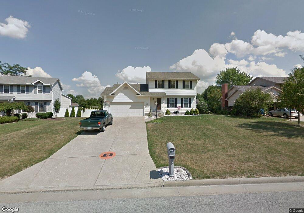
1215 Cedarwood Dr Mineral Ridge, OH 44440
Austintown NeighborhoodEstimated Value: $201,000 - $264,132
3
Beds
2
Baths
1,646
Sq Ft
$148/Sq Ft
Est. Value
About This Home
This home is located at 1215 Cedarwood Dr, Mineral Ridge, OH 44440 and is currently estimated at $243,783, approximately $148 per square foot. 1215 Cedarwood Dr is a home located in Mahoning County with nearby schools including Austintown Elementary School, Austintown Intermediate School, and Austintown Middle School.
Ownership History
Date
Name
Owned For
Owner Type
Purchase Details
Closed on
Jul 19, 2006
Sold by
Miller Michelle M and Benge Michelle M
Bought by
Miller Michelle M and Benge James
Current Estimated Value
Home Financials for this Owner
Home Financials are based on the most recent Mortgage that was taken out on this home.
Original Mortgage
$60,850
Interest Rate
6.51%
Mortgage Type
New Conventional
Purchase Details
Closed on
May 5, 2003
Sold by
Benge James A
Bought by
Benge Michelle M
Purchase Details
Closed on
Jul 14, 1995
Bought by
Miller Michelle M
Create a Home Valuation Report for This Property
The Home Valuation Report is an in-depth analysis detailing your home's value as well as a comparison with similar homes in the area
Home Values in the Area
Average Home Value in this Area
Purchase History
| Date | Buyer | Sale Price | Title Company |
|---|---|---|---|
| Miller Michelle M | -- | None Available | |
| Benge Michelle M | -- | -- | |
| Miller Michelle M | -- | -- |
Source: Public Records
Mortgage History
| Date | Status | Borrower | Loan Amount |
|---|---|---|---|
| Closed | Miller Michelle M | $60,850 |
Source: Public Records
Tax History Compared to Growth
Tax History
| Year | Tax Paid | Tax Assessment Tax Assessment Total Assessment is a certain percentage of the fair market value that is determined by local assessors to be the total taxable value of land and additions on the property. | Land | Improvement |
|---|---|---|---|---|
| 2024 | $3,239 | $70,780 | $6,900 | $63,880 |
| 2023 | $3,189 | $70,780 | $6,900 | $63,880 |
| 2022 | $2,847 | $50,670 | $6,900 | $43,770 |
| 2021 | $2,848 | $50,670 | $6,900 | $43,770 |
| 2020 | $2,860 | $50,670 | $6,900 | $43,770 |
| 2019 | $2,806 | $45,290 | $6,900 | $38,390 |
| 2018 | $2,700 | $45,290 | $6,900 | $38,390 |
| 2017 | $2,697 | $45,290 | $6,900 | $38,390 |
| 2016 | $2,647 | $44,020 | $6,900 | $37,120 |
| 2015 | $2,566 | $44,020 | $6,900 | $37,120 |
| 2014 | $2,578 | $44,020 | $6,900 | $37,120 |
| 2013 | $2,550 | $44,020 | $6,900 | $37,120 |
Source: Public Records
Map
Nearby Homes
- 1239 Woodledge Dr
- 5085 Winslow Dr
- 1760 Dumont Dr
- 0 W Webb Rd
- 1467 E County Line Rd
- 21 E Liberty St
- 1445 E County Line Rd
- 1684 Morris St
- 3872 Main St
- 3907 Edwards St
- 645 Carlin Dr
- 3579 Bee St
- 6360 Meander Glen Dr
- 6393 Meander Glen Dr
- 5231 W Rockwell Rd
- 176 N Canfield Niles Rd
- 159 N Canfield Niles Rd
- 3474 S Main St
- 236 Charlestown Place
- 5560 Norquest Blvd
- 1205 Cedarwood Dr
- 1225 Cedarwood Dr
- 5150 Cherrywood Ct
- 5145 Pine Shadow Ct
- 0 Cherrywood Ct
- 1208 Cedarwood Dr
- 1218 Cedarwood Dr
- 5142 Cherrywood Ct
- 1200 Cedarwood Dr
- 5137 Pine Shadow Ct
- 1187 Cedarwood Dr
- 1192 Cedarwood Dr
- 5150 Pine Shadow Ct
- 1230 Cedarwood Dr
- 5142 Pine Shadow Ct
- 5129 Pine Shadow Ct
- 5155 Cherrywood Ct
- 1181 Cedarwood Dr
- 1186 Cedarwood Dr
- 5147 Cherrywood Ct