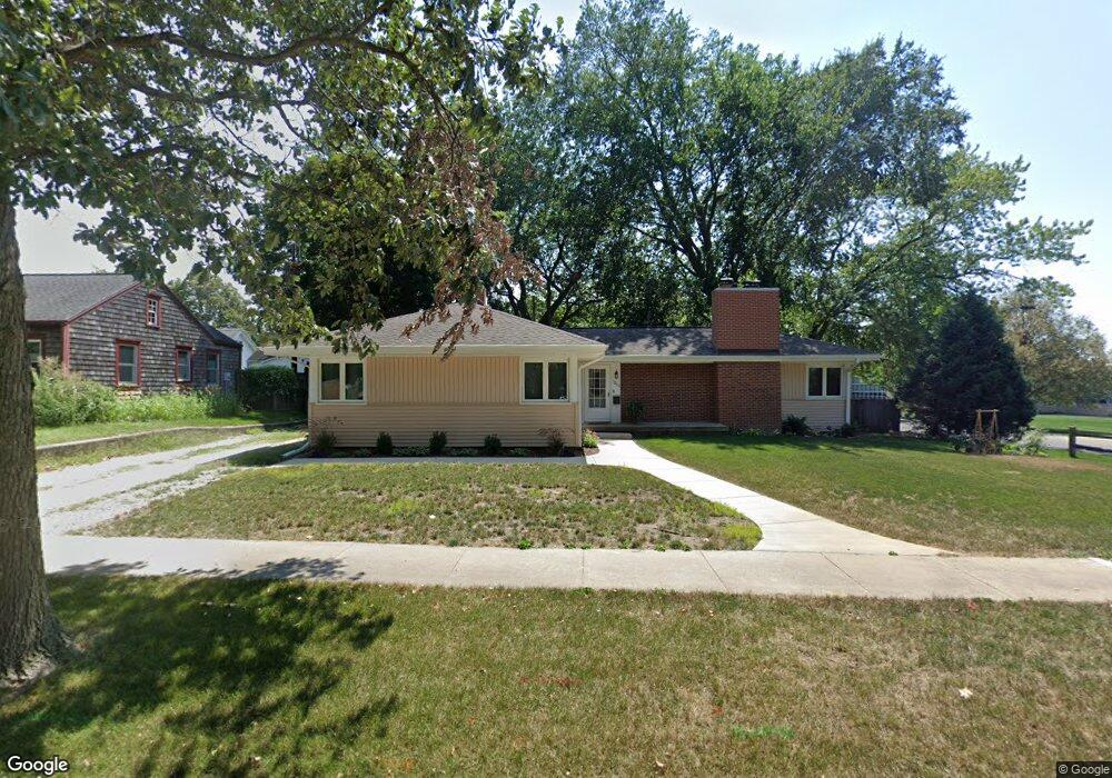
1215 W John St Champaign, IL 61821
Clark NeighborhoodEstimated Value: $229,066 - $253,000
--
Bed
1
Bath
1,340
Sq Ft
$179/Sq Ft
Est. Value
About This Home
This home is located at 1215 W John St, Champaign, IL 61821 and is currently estimated at $240,267, approximately $179 per square foot. 1215 W John St is a home located in Champaign County with nearby schools including Central High School, St. John Lutheran School, and St. Matthew School.
Ownership History
Date
Name
Owned For
Owner Type
Purchase Details
Closed on
Jul 15, 2025
Sold by
Tipsord-May Lieselotte and Tipsord Lieselotte
Bought by
Duncan Brody and Duncan Paige
Current Estimated Value
Home Financials for this Owner
Home Financials are based on the most recent Mortgage that was taken out on this home.
Original Mortgage
$211,500
Outstanding Balance
$211,036
Interest Rate
5.5%
Mortgage Type
New Conventional
Estimated Equity
$29,231
Create a Home Valuation Report for This Property
The Home Valuation Report is an in-depth analysis detailing your home's value as well as a comparison with similar homes in the area
Home Values in the Area
Average Home Value in this Area
Purchase History
| Date | Buyer | Sale Price | Title Company |
|---|---|---|---|
| Duncan Brody | $235,000 | None Listed On Document |
Source: Public Records
Mortgage History
| Date | Status | Borrower | Loan Amount |
|---|---|---|---|
| Open | Duncan Brody | $211,500 |
Source: Public Records
Tax History Compared to Growth
Tax History
| Year | Tax Paid | Tax Assessment Tax Assessment Total Assessment is a certain percentage of the fair market value that is determined by local assessors to be the total taxable value of land and additions on the property. | Land | Improvement |
|---|---|---|---|---|
| 2024 | $5,565 | $67,750 | $24,350 | $43,400 |
| 2023 | $5,565 | $61,710 | $22,180 | $39,530 |
| 2022 | $5,235 | $56,930 | $20,460 | $36,470 |
| 2021 | $5,109 | $55,810 | $20,060 | $35,750 |
| 2020 | $4,873 | $53,150 | $19,100 | $34,050 |
| 2019 | $4,717 | $52,060 | $18,710 | $33,350 |
| 2018 | $4,611 | $51,240 | $18,420 | $32,820 |
| 2017 | $4,452 | $49,270 | $17,710 | $31,560 |
| 2016 | $3,992 | $48,260 | $17,350 | $30,910 |
| 2015 | $4,022 | $47,400 | $17,040 | $30,360 |
| 2014 | $3,988 | $47,400 | $17,040 | $30,360 |
| 2013 | $3,952 | $47,400 | $17,040 | $30,360 |
Source: Public Records
Map
Nearby Homes
- 1208 W William St
- 1212 W Healey St
- 1211 W Springfield Ave
- 605 S Fair St
- 1208 W Union St
- 302 Flora Dr
- 1607 W William St
- 809 S Victor St
- 1608 Sheridan Rd
- 1407 W Clark St
- 1606 W Union St
- 1302 W Clark St
- 910 W Springfield Ave
- 1709 W William St
- 7 Greencroft Dr
- 807 Haines Blvd
- 311 S Van Doren St
- 1007 Holiday Dr
- 1120 W Church St
- 1311 W Hill St
- 1213 W John St
- 1222 W Daniel St
- 1220 W Daniel St
- 1211 W John St
- 1216 W John St
- 1218 W Daniel St
- 1216 W Daniel St
- 1209 W John St
- 612 S Russell St
- 1210 W John St
- 1214 W Daniel St
- 609 S Russell St
- 611 S Edwin St
- 610 S Russell St
- 1207 W John St
- 1212 W Daniel St
- 609 S Edwin St
- 608 S Russell St
- 607 S Russell St
- 1221 W Daniel St