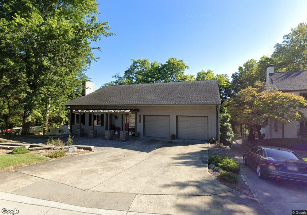
1217 Rockwood Dr Cape Girardeau, MO 63701
Estimated Value: $322,000 - $429,000
3
Beds
4
Baths
2,724
Sq Ft
$134/Sq Ft
Est. Value
About This Home
This home is located at 1217 Rockwood Dr, Cape Girardeau, MO 63701 and is currently estimated at $365,884, approximately $134 per square foot. 1217 Rockwood Dr is a home located in Cape Girardeau County with nearby schools including Franklin Elementary School, Central Middle School, and Central Junior High School.
Ownership History
Date
Name
Owned For
Owner Type
Purchase Details
Closed on
Sep 30, 2013
Sold by
Parsons Robert J and Parsons Adelaide H
Bought by
Phegley Scott D
Current Estimated Value
Home Financials for this Owner
Home Financials are based on the most recent Mortgage that was taken out on this home.
Original Mortgage
$173,600
Outstanding Balance
$125,209
Interest Rate
3.5%
Mortgage Type
New Conventional
Estimated Equity
$240,675
Create a Home Valuation Report for This Property
The Home Valuation Report is an in-depth analysis detailing your home's value as well as a comparison with similar homes in the area
Home Values in the Area
Average Home Value in this Area
Purchase History
| Date | Buyer | Sale Price | Title Company |
|---|---|---|---|
| Phegley Scott D | -- | -- |
Source: Public Records
Mortgage History
| Date | Status | Borrower | Loan Amount |
|---|---|---|---|
| Open | Phegley Scott D | $173,600 |
Source: Public Records
Tax History Compared to Growth
Tax History
| Year | Tax Paid | Tax Assessment Tax Assessment Total Assessment is a certain percentage of the fair market value that is determined by local assessors to be the total taxable value of land and additions on the property. | Land | Improvement |
|---|---|---|---|---|
| 2025 | $21 | $42,510 | $5,170 | $37,340 |
| 2024 | $21 | $40,490 | $4,930 | $35,560 |
| 2023 | $2,104 | $40,490 | $4,930 | $35,560 |
| 2022 | $1,940 | $37,310 | $4,540 | $32,770 |
| 2021 | $1,940 | $37,310 | $4,540 | $32,770 |
| 2020 | $1,946 | $37,310 | $4,540 | $32,770 |
| 2019 | $1,943 | $37,310 | $0 | $0 |
| 2018 | $1,939 | $37,310 | $0 | $0 |
| 2017 | $1,944 | $37,310 | $0 | $0 |
| 2016 | $1,936 | $37,310 | $0 | $0 |
| 2015 | $1,937 | $37,310 | $0 | $0 |
| 2014 | $1,947 | $37,310 | $0 | $0 |
Source: Public Records
Map
Nearby Homes
- 381 N Park Ave
- 374 N Park Ave
- 242 Orange Bowl Dr
- 1401 Bessie St
- 715 Terrace Dr
- 1014 N Henderson Ave
- 733 Watkins Dr
- 344 N Ellis St
- 1419 Themis St
- 63 N Hanover St
- 325 N Sprigg St
- 701 Penny Ave
- 424 Marie St
- 1742 Dunklin St
- 12 N West End Blvd
- 423 N Sunset Blvd
- 448 N Frederick St
- 1455 Whitener St
- 26 N Pacific St
- 519 & 521 N Middle St
- 603 N Henderson Ave
- 1220 Rockwood Dr
- 1235 Rockwood Dr
- 1208 Normal Ave
- 505 N Henderson St
- 1220 Normal Ave
- 1237 Rockwood Dr
- 1222 Normal Ave
- 615 N Henderson St
- 1232 Normal Ave
- 1243 Rockwood Dr
- 314 The Highlands
- 316 The Highlands
- 318 The Highlands
- 320 The Highlands
- 374 The Highlands
- 354 The Highlands
- 352 The Highlands
- 350 The Highlands
- 348 The Highlands