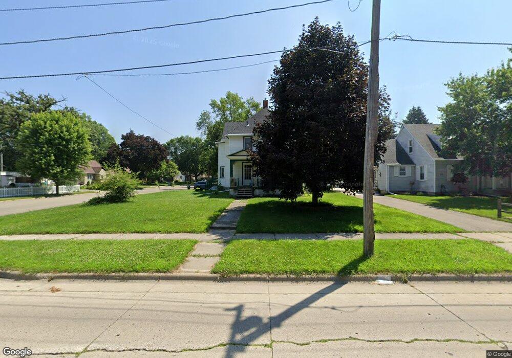
1217 S Cedar Ave Owatonna, MN 55060
Estimated Value: $225,000 - $251,000
4
Beds
2
Baths
2,678
Sq Ft
$90/Sq Ft
Est. Value
About This Home
This home is located at 1217 S Cedar Ave, Owatonna, MN 55060 and is currently estimated at $240,857, approximately $89 per square foot. 1217 S Cedar Ave is a home located in Steele County with nearby schools including Lincoln Elementary School, Owatonna Middle School, and Owatonna Senior High School.
Ownership History
Date
Name
Owned For
Owner Type
Purchase Details
Closed on
Oct 3, 2022
Sold by
Escandon Irma and Escandon Manual
Bought by
Heien Jonathan and Heien Tiah
Current Estimated Value
Home Financials for this Owner
Home Financials are based on the most recent Mortgage that was taken out on this home.
Original Mortgage
$206,500
Outstanding Balance
$197,376
Interest Rate
5.13%
Mortgage Type
New Conventional
Estimated Equity
$43,481
Purchase Details
Closed on
Nov 27, 2009
Sold by
Secretary Of Veterans Affairs
Bought by
Escandon Irma
Create a Home Valuation Report for This Property
The Home Valuation Report is an in-depth analysis detailing your home's value as well as a comparison with similar homes in the area
Home Values in the Area
Average Home Value in this Area
Purchase History
| Date | Buyer | Sale Price | Title Company |
|---|---|---|---|
| Heien Jonathan | $206,500 | -- | |
| Escandon Irma | $80,000 | None Available |
Source: Public Records
Mortgage History
| Date | Status | Borrower | Loan Amount |
|---|---|---|---|
| Open | Heien Jonathan | $206,500 |
Source: Public Records
Tax History Compared to Growth
Tax History
| Year | Tax Paid | Tax Assessment Tax Assessment Total Assessment is a certain percentage of the fair market value that is determined by local assessors to be the total taxable value of land and additions on the property. | Land | Improvement |
|---|---|---|---|---|
| 2025 | $3,020 | $181,900 | $33,600 | $148,300 |
| 2024 | $2,880 | $222,800 | $30,400 | $192,400 |
| 2023 | $2,934 | $205,200 | $23,900 | $181,300 |
| 2022 | $2,854 | $199,900 | $22,600 | $177,300 |
| 2021 | $2,820 | $158,466 | $20,580 | $137,886 |
| 2020 | $2,820 | $146,314 | $20,580 | $125,734 |
| 2019 | $2,388 | $147,196 | $20,580 | $126,616 |
| 2018 | $2,230 | $132,300 | $19,012 | $113,288 |
| 2017 | $1,992 | $122,696 | $17,444 | $105,252 |
| 2016 | $2,082 | $110,054 | $17,444 | $92,610 |
| 2015 | -- | $0 | $0 | $0 |
| 2014 | -- | $0 | $0 | $0 |
Source: Public Records
Map
Nearby Homes
- 203 E Mckinley St
- 228 13th St SW
- 1212 S Grove Ave
- 1047 S Oak Ave
- 1031 S Cedar Ave
- 222 W Mckinley St
- 1031 Grandview Ave
- 1031 1031 Grandview Ave
- 318 13th St SW
- 317 Havana Rd
- 1003 S Elm Ave
- 1132 Butternut Ave
- 349 13th St SW
- 819 S Cedar Ave
- 819 819 S Cedar Ave
- 1801 Linn Dr
- 916 Linn Ave SW
- 240 South St
- xxx Anderson Place
- 339 South St
- 1217 1217 Cedar Ave S
- 1223 S Cedar Ave
- 115 Hobart St
- 1231 S Cedar Ave
- 1231 Cedar Ave S
- 1231 1231 Cedar Ave S
- 121 Hobart St
- 1226 S Cedar Ave
- 116 Hobart St
- 118 E Park St
- 1210 S Cedar Ave
- 122 Hobart St
- 1232 S Cedar Ave
- 124 E Park St
- 1204 S Cedar Ave
- 1230 S Cedar Ave
- 127 Hobart St
- 1236 S Cedar Ave
- 128 Hobart St
- 1159 S Cedar Ave