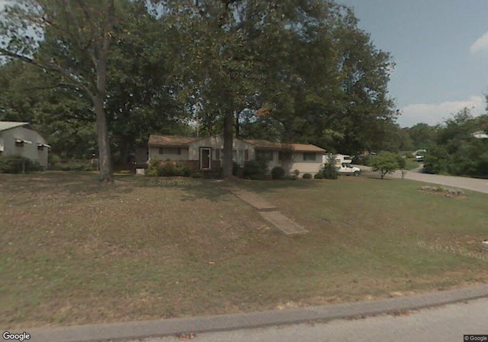
1219 Echo Dr Hixson, TN 37343
Dupont NeighborhoodEstimated Value: $251,268 - $290,000
Studio
1
Bath
1,403
Sq Ft
$193/Sq Ft
Est. Value
About This Home
This home is located at 1219 Echo Dr, Hixson, TN 37343 and is currently estimated at $271,067, approximately $193 per square foot. 1219 Echo Dr is a home located in Hamilton County with nearby schools including DuPont Elementary School, Hixson Middle School, and Hixson High School.
Ownership History
Date
Name
Owned For
Owner Type
Purchase Details
Closed on
Jun 29, 2024
Sold by
Millsaps Carter Margaret Elizabeth and Millsaps Elizabeth Carter
Bought by
Lowe Landers Michaela Ashley and Alexander Landers Gage
Current Estimated Value
Purchase Details
Closed on
May 20, 2024
Sold by
Norwood Constance Jones
Bought by
Jones David Burton and Jones Steven Henry
Purchase Details
Closed on
Jun 4, 2018
Sold by
Jones George Henry
Bought by
Norwood Constance Jones
Purchase Details
Closed on
Jul 28, 2011
Sold by
Jones George Henry and Jones Harriet Ann
Bought by
Jones George Henry
Create a Home Valuation Report for This Property
The Home Valuation Report is an in-depth analysis detailing your home's value as well as a comparison with similar homes in the area
Home Values in the Area
Average Home Value in this Area
Purchase History
| Date | Buyer | Sale Price | Title Company |
|---|---|---|---|
| Lowe Landers Michaela Ashley | $22,500 | Trustpro Title | |
| Jones David Burton | -- | None Listed On Document | |
| Norwood Constance Jones | -- | None Available | |
| Jones George Henry | -- | None Available |
Source: Public Records
Tax History
| Year | Tax Paid | Tax Assessment Tax Assessment Total Assessment is a certain percentage of the fair market value that is determined by local assessors to be the total taxable value of land and additions on the property. | Land | Improvement |
|---|---|---|---|---|
| 2025 | $1,022 | $67,450 | $0 | $0 |
| 2024 | $783 | $35,000 | $0 | $0 |
| 2023 | $783 | $35,000 | $0 | $0 |
| 2022 | $783 | $35,000 | $0 | $0 |
| 2021 | $783 | $35,000 | $0 | $0 |
| 2020 | $829 | $29,975 | $0 | $0 |
| 2019 | $829 | $29,975 | $0 | $0 |
| 2018 | $809 | $29,975 | $0 | $0 |
| 2017 | $829 | $29,975 | $0 | $0 |
| 2016 | $745 | $0 | $0 | $0 |
| 2015 | $1,483 | $26,950 | $0 | $0 |
| 2014 | $1,483 | $0 | $0 | $0 |
Source: Public Records
Map
Nearby Homes
- 1218 Cranbrook Dr
- 1209 Echo Dr
- 1512 Ely Rd
- 1315 Northgate Cir
- 1415 Highland Way
- 1416 Highland Way
- 4703 Clover Ln
- 4705 Clover Ln
- 4326 Comet Trail
- 1705 Bagwell Ave
- 1636 Green Hill Dr
- 1313 Michael Ln
- 4607 Cloverdale Loop
- 4609 Plaza Hills Ln
- 810 Forest Dale Ln
- 961 Ashland Terrace
- 936 Sherry Cir
- 3914 Memphis Dr
- 3956 Fairfax Dr
- 4981 N Eldridge Rd
- 1217 Echo Dr
- 1220 Cranbrook Dr
- 1215 Echo Dr
- 1224 Echo Dr
- 1216 Cranbrook Dr
- 1226 Echo Dr
- 1228 Echo Dr
- 1224 Cranbrook Dr
- 1222 Echo Dr
- 1214 Cranbrook Dr
- 1213 Echo Dr
- 1220 Echo Dr
- 1221 Cranbrook Dr
- 1219 Cranbrook Dr
- 1439 Ely Rd
- 1441 Ely Rd
- 1223 Cranbrook Dr
- 1217 Cranbrook Dr
- 1232 Cranbrook Dr
- 1437 Ely Rd
Your Personal Tour Guide
Ask me questions while you tour the home.