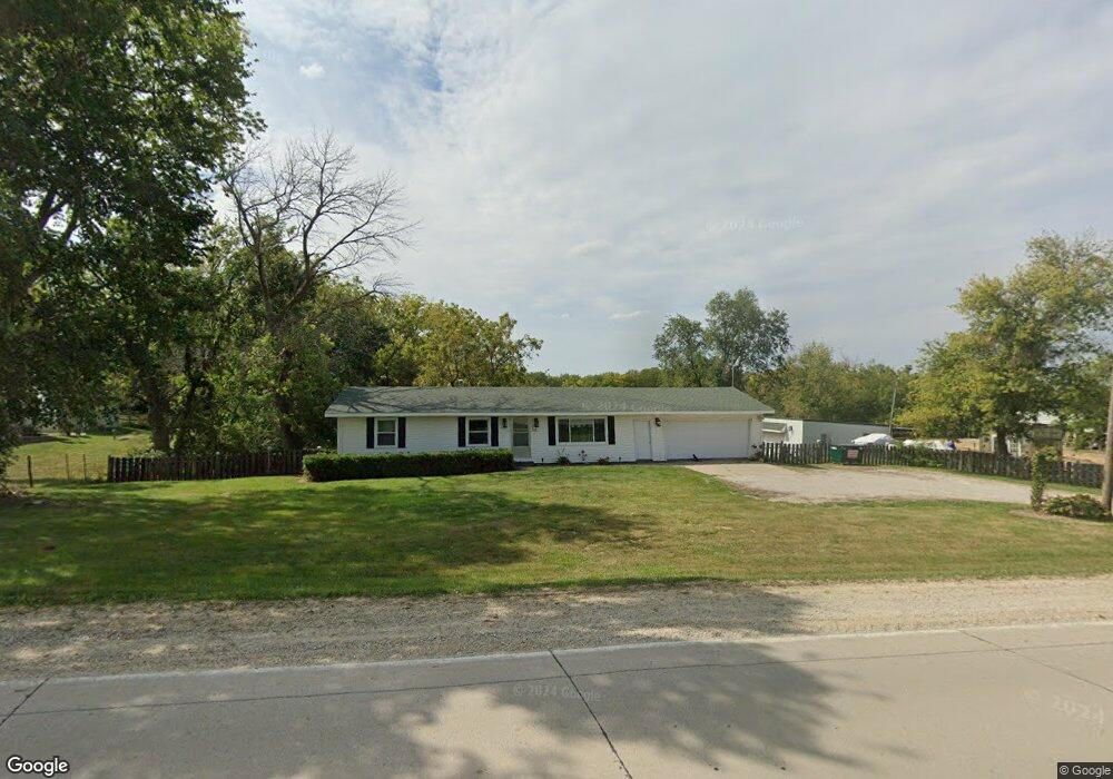
1219 Ginkgo Ave Wellman, IA 52356
Estimated Value: $200,000 - $362,376
2
Beds
1
Bath
1,344
Sq Ft
$208/Sq Ft
Est. Value
About This Home
This home is located at 1219 Ginkgo Ave, Wellman, IA 52356 and is currently estimated at $279,594, approximately $208 per square foot. 1219 Ginkgo Ave is a home located in Washington County with nearby schools including Mid-Prairie High School.
Ownership History
Date
Name
Owned For
Owner Type
Purchase Details
Closed on
Mar 30, 2012
Sold by
Estate Of Wilma C Yoder
Bought by
Denard Michael Allen and Denard Ruth A
Current Estimated Value
Home Financials for this Owner
Home Financials are based on the most recent Mortgage that was taken out on this home.
Original Mortgage
$124,000
Outstanding Balance
$85,382
Interest Rate
3.92%
Mortgage Type
New Conventional
Estimated Equity
$194,212
Create a Home Valuation Report for This Property
The Home Valuation Report is an in-depth analysis detailing your home's value as well as a comparison with similar homes in the area
Home Values in the Area
Average Home Value in this Area
Purchase History
| Date | Buyer | Sale Price | Title Company |
|---|---|---|---|
| Denard Michael Allen | $155,000 | None Available |
Source: Public Records
Mortgage History
| Date | Status | Borrower | Loan Amount |
|---|---|---|---|
| Open | Denard Michael Allen | $124,000 |
Source: Public Records
Tax History Compared to Growth
Tax History
| Year | Tax Paid | Tax Assessment Tax Assessment Total Assessment is a certain percentage of the fair market value that is determined by local assessors to be the total taxable value of land and additions on the property. | Land | Improvement |
|---|---|---|---|---|
| 2025 | $3,652 | $315,000 | $78,100 | $236,900 |
| 2024 | $3,652 | $273,800 | $53,800 | $220,000 |
| 2023 | $3,390 | $273,800 | $53,800 | $220,000 |
| 2022 | $3,260 | $223,000 | $53,800 | $169,200 |
| 2021 | $3,260 | $223,000 | $53,800 | $169,200 |
| 2020 | $3,182 | $208,300 | $53,800 | $154,500 |
| 2019 | $3,320 | $208,300 | $0 | $0 |
| 2018 | $2,624 | $168,400 | $0 | $0 |
| 2017 | $2,624 | $155,500 | $0 | $0 |
| 2016 | $2,370 | $155,500 | $0 | $0 |
| 2015 | $2,370 | $141,600 | $0 | $0 |
| 2014 | $2,174 | $141,600 | $0 | $0 |
Source: Public Records
Map
Nearby Homes
- 516, 514 & 512 E Garden Way
- 520 14th St
- 1817 6th Ave N
- 1114 7th Ave
- 1035 Circle Dr
- 1015 8th Ave
- 11.89 Acres M/L Iowa 22
- 1961 140th St
- 70.44 Acres Cedar Ave
- 1232 540th St SW
- 117th Court (Lot 10)
- 2085 117th Ct
- 2089 117th Ct
- 117th Court (Lot 13)
- 20 Acres M L Birch Ave
- 2986 333rd St
- 1049 Locust Ave
- Lot 30 Troyers Meadow
- 6 Acres M/L Parcel Q 1st St
- 1470 520th St SW