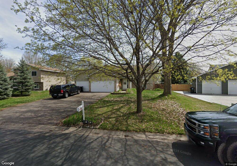
12191 Quinn St NW Coon Rapids, MN 55448
Estimated Value: $396,000 - $433,000
5
Beds
2
Baths
1,230
Sq Ft
$340/Sq Ft
Est. Value
About This Home
This home is located at 12191 Quinn St NW, Coon Rapids, MN 55448 and is currently estimated at $417,673, approximately $339 per square foot. 12191 Quinn St NW is a home located in Anoka County with nearby schools including Lucile Bruner Elementary School, Hoover Elementary School, and Laughlin Junior/Senior High School.
Ownership History
Date
Name
Owned For
Owner Type
Purchase Details
Closed on
Oct 16, 2009
Sold by
Schultz Shawn and Schultz Bridgett
Bought by
Traynor Thomas
Current Estimated Value
Home Financials for this Owner
Home Financials are based on the most recent Mortgage that was taken out on this home.
Original Mortgage
$228,779
Outstanding Balance
$149,694
Interest Rate
5.12%
Mortgage Type
FHA
Estimated Equity
$267,979
Create a Home Valuation Report for This Property
The Home Valuation Report is an in-depth analysis detailing your home's value as well as a comparison with similar homes in the area
Home Values in the Area
Average Home Value in this Area
Purchase History
| Date | Buyer | Sale Price | Title Company |
|---|---|---|---|
| Traynor Thomas | $233,000 | -- |
Source: Public Records
Mortgage History
| Date | Status | Borrower | Loan Amount |
|---|---|---|---|
| Open | Traynor Thomas | $228,779 |
Source: Public Records
Tax History Compared to Growth
Tax History
| Year | Tax Paid | Tax Assessment Tax Assessment Total Assessment is a certain percentage of the fair market value that is determined by local assessors to be the total taxable value of land and additions on the property. | Land | Improvement |
|---|---|---|---|---|
| 2025 | $3,983 | $381,600 | $86,000 | $295,600 |
| 2024 | $3,983 | $377,200 | $95,000 | $282,200 |
| 2023 | $3,647 | $371,400 | $82,000 | $289,400 |
| 2022 | $3,309 | $370,400 | $70,000 | $300,400 |
| 2021 | $3,249 | $301,400 | $59,000 | $242,400 |
| 2020 | $3,298 | $289,700 | $63,000 | $226,700 |
| 2019 | $3,104 | $282,100 | $67,000 | $215,100 |
| 2018 | $2,891 | $259,400 | $0 | $0 |
| 2017 | $2,467 | $236,100 | $0 | $0 |
| 2016 | $2,453 | $196,900 | $0 | $0 |
| 2015 | $2,719 | $196,900 | $51,000 | $145,900 |
| 2014 | -- | $179,300 | $50,300 | $129,000 |
Source: Public Records
Map
Nearby Homes
- 2068 124th Ln NW
- 2147 125th Ln NW
- 1727 121st Ln NW
- 12365 Jay St NW
- 12019 Zion St NW
- 12760 Raven St NW
- 1930 127th Cir NW
- 12554 Grouse St NW
- 12010 Eagle St NW
- 12463 Drake St NW
- 2675 128th Ave NW
- 1593 126th Ln NW
- 12888 Nightingale St NW
- 1449 119th Ln NW
- 1660 Northdale Blvd NW
- 11444 Hanson Blvd NW
- 11749 Crooked Lake Blvd NW
- 11424 Hanson Blvd NW
- 12759 Ibis St NW
- 11409 Quinn St NW
- 12185 Quinn St NW
- 12203 Quinn St NW
- 12196 Partridge St NW
- 12179 Quinn St NW
- 12184 Partridge St NW
- 12205 Quinn St NW
- 12192 Quinn St NW
- 12200 Quinn St NW
- 12186 Quinn St NW
- 12228 Partridge St NW
- 12173 Quinn St NW
- 12176 Partridge St NW
- 12210 Quinn St NW
- 12219 Quinn St NW
- 12168 Partridge St NW
- 12167 Quinn St NW
- 12180 Quinn St NW
- 12230 Partridge St NW
- 2098 122nd Ave NW
- 12233 Quinn St NW