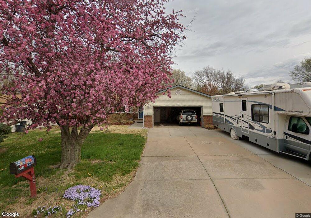
122 April Dr Mulvane, KS 67110
Estimated Value: $179,483 - $231,000
2
Beds
2
Baths
1,008
Sq Ft
$204/Sq Ft
Est. Value
About This Home
This home is located at 122 April Dr, Mulvane, KS 67110 and is currently estimated at $205,242, approximately $203 per square foot. 122 April Dr is a home located in Sedgwick County with nearby schools including Munson Primary School, Mulvane Grade School, and Mulvane Middle School.
Ownership History
Date
Name
Owned For
Owner Type
Purchase Details
Closed on
Mar 2, 2018
Sold by
Keim Jeanne L and Keim Jeanne
Bought by
Keim Jeanne L and Jeanne L Keim Share Under The
Current Estimated Value
Home Financials for this Owner
Home Financials are based on the most recent Mortgage that was taken out on this home.
Original Mortgage
$25,895
Interest Rate
4.15%
Mortgage Type
Future Advance Clause Open End Mortgage
Purchase Details
Closed on
Nov 8, 2012
Sold by
Keim Jeanne L
Bought by
Keim Jeanne L
Purchase Details
Closed on
Jul 25, 2008
Sold by
Keim Doris L
Bought by
Keim Doris L
Create a Home Valuation Report for This Property
The Home Valuation Report is an in-depth analysis detailing your home's value as well as a comparison with similar homes in the area
Home Values in the Area
Average Home Value in this Area
Purchase History
We collect this data history from publicly available records. To have your information removed, we recommend requesting removal directly through your county’s website.
| Date | Buyer | Sale Price | Title Company |
|---|---|---|---|
| Keim Jeanne L | -- | Security 1St Title | |
| Keim Jeanne L | -- | Security 1St Title | |
| Keim Jeanne L | -- | None Available | |
| Keim Doris L | -- | None Available |
Source: Public Records
Mortgage History
We collect this data history from publicly available records. To have your information removed, we recommend requesting removal directly through your county’s website.
| Date | Status | Borrower | Loan Amount |
|---|---|---|---|
| Closed | Keim Jeanne L | $25,895 |
Source: Public Records
Tax History
| Year | Tax Paid | Tax Assessment Tax Assessment Total Assessment is a certain percentage of the fair market value that is determined by local assessors to be the total taxable value of land and additions on the property. | Land | Improvement |
|---|---|---|---|---|
| 2025 | $2,755 | $20,378 | $4,600 | $15,778 |
| 2023 | $2,755 | $17,641 | $3,289 | $14,352 |
| 2022 | $2,428 | $16,572 | $3,105 | $13,467 |
| 2021 | $2,107 | $15,341 | $2,691 | $12,650 |
| 2020 | $2,025 | $14,893 | $2,691 | $12,202 |
| 2019 | $1,921 | $13,662 | $2,691 | $10,971 |
| 2018 | $1,753 | $12,892 | $1,967 | $10,925 |
| 2017 | $1,700 | $0 | $0 | $0 |
| 2016 | $1,622 | $0 | $0 | $0 |
| 2015 | $1,614 | $0 | $0 | $0 |
| 2014 | $1,578 | $0 | $0 | $0 |
Source: Public Records
Map
Nearby Homes
- 115 April Dr
- 103 W Rockwood Blvd
- 1523 N Rockwood Blvd
- 105 E Burlington Dr
- 1611 N Rock Rd
- 109 Maplewood St
- 1619 N Rock Rd
- 16 N Circle Dr
- 10100 S Rock Rd
- 5 Lake Dr
- 1217 Sunset Dr
- 1744 N Country Walk Ln
- 1005 N 1st Ave
- 1765 N Myers Cir
- 217 E Filmore
- 320 Martha Ave
- 1651 N Diamond Cir
- 1647 N Diamond Cir
- 1612 N Diamond Cir
- 1616 N Diamond Cir
Your Personal Tour Guide
Ask me questions while you tour the home.