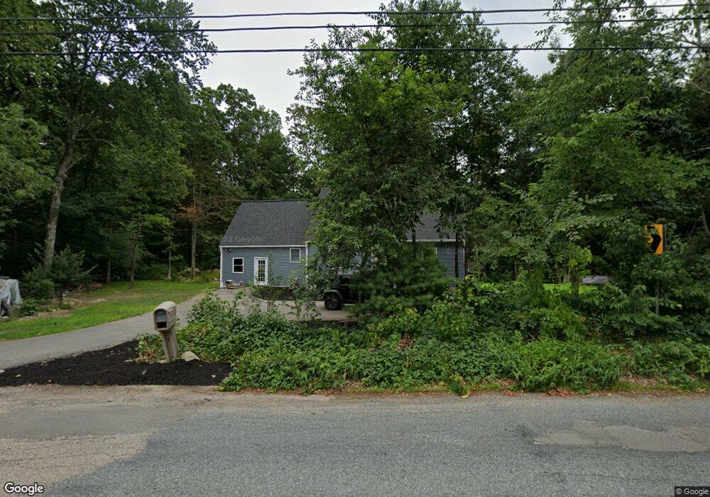
122 Beaver St Milford, MA 01757
Estimated Value: $586,000 - $672,000
2
Beds
3
Baths
2,075
Sq Ft
$297/Sq Ft
Est. Value
About This Home
This home is located at 122 Beaver St, Milford, MA 01757 and is currently estimated at $615,392, approximately $296 per square foot. 122 Beaver St is a home located in Worcester County with nearby schools including Milford High School, Bethany Christian Academy, and Mendon Mennonite School.
Ownership History
Date
Name
Owned For
Owner Type
Purchase Details
Closed on
Aug 27, 2020
Sold by
Dean Edward W
Bought by
Valenca Jose E and Valenca Paul J
Current Estimated Value
Purchase Details
Closed on
Mar 29, 2017
Sold by
Dean Diane L
Bought by
Dean Diane L and Dean Edward W
Purchase Details
Closed on
Sep 25, 1979
Bought by
Dean Diane L
Create a Home Valuation Report for This Property
The Home Valuation Report is an in-depth analysis detailing your home's value as well as a comparison with similar homes in the area
Home Values in the Area
Average Home Value in this Area
Purchase History
| Date | Buyer | Sale Price | Title Company |
|---|---|---|---|
| Valenca Jose E | $205,000 | None Available | |
| Dean Diane L | -- | -- | |
| Dean Diane L | -- | -- |
Source: Public Records
Mortgage History
| Date | Status | Borrower | Loan Amount |
|---|---|---|---|
| Previous Owner | Dean Diane L | $44,966 | |
| Previous Owner | Dean Diane L | $20,000 |
Source: Public Records
Tax History
| Year | Tax Paid | Tax Assessment Tax Assessment Total Assessment is a certain percentage of the fair market value that is determined by local assessors to be the total taxable value of land and additions on the property. | Land | Improvement |
|---|---|---|---|---|
| 2025 | $6,822 | $533,000 | $220,500 | $312,500 |
| 2024 | $6,665 | $501,500 | $211,800 | $289,700 |
| 2023 | $6,498 | $449,700 | $183,400 | $266,300 |
| 2022 | $5,383 | $349,800 | $167,800 | $182,000 |
| 2021 | $5,174 | $323,800 | $167,800 | $156,000 |
| 2020 | $5,055 | $316,700 | $167,800 | $148,900 |
| 2019 | $5,099 | $308,300 | $167,800 | $140,500 |
| 2018 | $4,865 | $293,800 | $163,500 | $130,300 |
| 2017 | $4,805 | $286,200 | $163,500 | $122,700 |
| 2016 | $4,692 | $273,100 | $163,500 | $109,600 |
| 2015 | $4,544 | $258,900 | $154,800 | $104,100 |
Source: Public Records
Map
Nearby Homes
- 48 Black Bear Cir Unit 48
- 46 Black Bear Cir Unit 46
- 44 Black Bear Cir Unit 44
- 43 Black Bear Cir Unit 43
- 3 Black Bear Cir Unit 3
- 7 Black Bear Unit 7
- 9 Black Bear Cir Unit 9
- 11 Black Bear Unit 11
- 13 Black Bear Cir Unit 13
- 15 Black Bear Cir Unit 15
- 10 Black Bear Unit 10
- 16 Black Bear Cir Unit 16
- 7 Woodland Ct Unit B
- 35 Woodland Ave Unit 35A
- 4 Waterfall Ln
- 7 Howard St
- 15 Fox Run Rd
- 0 Hixon St Unit 73477486
- 6 Jen Paul Way Unit B
- 22 Granite St
Your Personal Tour Guide
Ask me questions while you tour the home.