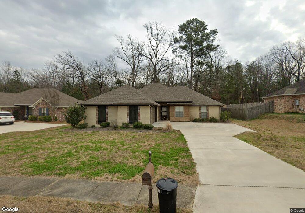
122 Britton Cir Flowood, MS 39232
Estimated Value: $272,877 - $491,000
4
Beds
2
Baths
1,614
Sq Ft
$208/Sq Ft
Est. Value
About This Home
This home is located at 122 Britton Cir, Flowood, MS 39232 and is currently estimated at $336,219, approximately $208 per square foot. 122 Britton Cir is a home located in Rankin County with nearby schools including Flowood Elementary School, Northwest Rankin Middle School, and Northwest Rankin High School.
Ownership History
Date
Name
Owned For
Owner Type
Purchase Details
Closed on
Jan 22, 2021
Sold by
Stevens Nicholas William and Stevens Roin Majure
Bought by
Allegiant Homes Corp
Current Estimated Value
Purchase Details
Closed on
Nov 29, 2012
Sold by
Majure Robin L and Stevens Robin Majure
Bought by
Stevens Nicholas William and Stevens Robin Majure
Home Financials for this Owner
Home Financials are based on the most recent Mortgage that was taken out on this home.
Original Mortgage
$165,000
Interest Rate
3.44%
Create a Home Valuation Report for This Property
The Home Valuation Report is an in-depth analysis detailing your home's value as well as a comparison with similar homes in the area
Home Values in the Area
Average Home Value in this Area
Purchase History
| Date | Buyer | Sale Price | Title Company |
|---|---|---|---|
| Allegiant Homes Corp | -- | None Listed On Document | |
| Allegiant Homes Corp | -- | None Listed On Document | |
| Stevens Nicholas William | -- | -- |
Source: Public Records
Mortgage History
| Date | Status | Borrower | Loan Amount |
|---|---|---|---|
| Previous Owner | Stevens Nicholas William | $165,000 |
Source: Public Records
Tax History
| Year | Tax Paid | Tax Assessment Tax Assessment Total Assessment is a certain percentage of the fair market value that is determined by local assessors to be the total taxable value of land and additions on the property. | Land | Improvement |
|---|---|---|---|---|
| 2025 | $3,055 | $25,592 | $0 | $0 |
| 2024 | $3,162 | $26,910 | $0 | $0 |
| 2023 | $2,966 | $25,235 | $0 | $0 |
| 2022 | $2,928 | $25,235 | $0 | $0 |
| 2021 | $1,652 | $16,823 | $0 | $0 |
| 2020 | $1,652 | $16,823 | $0 | $0 |
| 2019 | $1,484 | $15,019 | $0 | $0 |
| 2018 | $1,454 | $15,019 | $0 | $0 |
| 2017 | $1,454 | $15,019 | $0 | $0 |
| 2016 | $1,350 | $14,757 | $0 | $0 |
| 2015 | $1,350 | $14,757 | $0 | $0 |
| 2014 | $1,318 | $14,757 | $0 | $0 |
| 2013 | -- | $14,757 | $0 | $0 |
Source: Public Records
Map
Nearby Homes
- 112 Britton Cir
- 144 Britton Cir
- 100 Redbud Ct
- 120 Poplar Ridge Dr
- 6145 Wirtz Rd
- 121 Poplar Ridge Dr
- 6147 Wirtz Rd
- 225 Bronson Bend
- 221 Bronson Bend
- 201 Bronson Bend
- 230 Bronson Bend
- 232 Bronson Bend
- 218 Bronson Bend
- 139 Bronson Bend
- 192 Bronson Bend
- 186 Bronson Bend
- 187 Bronson Bend
- 200 Bronson Bend
- 181 Bronson Bend
- 179 Bronson Bend
- 124 Britton Cir
- 120 Britton Cir
- 126 Britton Cir
- 118 Britton Cir
- 121 Britton Cir
- 123 Britton Cir
- 119 Britton Cir
- 125 Britton Cir
- 116 Britton Cir
- 128 Britton Cir
- 117 Britton Cir
- 151 Britton Cir
- 127 Britton Cir
- 149 Britton Cir
- 153 Britton Cir
- 115 Britton Cir
- 114 Britton Cir
- 147 Britton Cir
- 155 Britton Cir
- 129 Britton Cir
Your Personal Tour Guide
Ask me questions while you tour the home.