122 Brooks Cir Sparks, NV 89431
McCarran Boulevard-Probasco NeighborhoodEstimated Value: $417,889 - $449,000
4
Beds
2
Baths
1,423
Sq Ft
$308/Sq Ft
Est. Value
About This Home
This home is located at 122 Brooks Cir, Sparks, NV 89431 and is currently estimated at $438,222, approximately $307 per square foot. 122 Brooks Cir is a home located in Washoe County with nearby schools including Greenbrae Elementary School, George L Dilworth Middle School, and Sparks High School.
Ownership History
Date
Name
Owned For
Owner Type
Purchase Details
Closed on
Mar 4, 1994
Sold by
Flynn Julie A
Bought by
Mangaoang Virgil C and Mangaoang Brenda J
Current Estimated Value
Home Financials for this Owner
Home Financials are based on the most recent Mortgage that was taken out on this home.
Original Mortgage
$112,579
Interest Rate
7.09%
Mortgage Type
FHA
Create a Home Valuation Report for This Property
The Home Valuation Report is an in-depth analysis detailing your home's value as well as a comparison with similar homes in the area
Home Values in the Area
Average Home Value in this Area
Purchase History
| Date | Buyer | Sale Price | Title Company |
|---|---|---|---|
| Mangaoang Virgil C | $113,000 | Stewart Title |
Source: Public Records
Mortgage History
| Date | Status | Borrower | Loan Amount |
|---|---|---|---|
| Closed | Mangaoang Virgil C | $112,579 |
Source: Public Records
Tax History Compared to Growth
Tax History
| Year | Tax Paid | Tax Assessment Tax Assessment Total Assessment is a certain percentage of the fair market value that is determined by local assessors to be the total taxable value of land and additions on the property. | Land | Improvement |
|---|---|---|---|---|
| 2025 | $873 | $53,546 | $33,565 | $19,982 |
| 2024 | $873 | $49,733 | $30,065 | $19,668 |
| 2023 | $889 | $49,528 | $31,325 | $18,203 |
| 2022 | $825 | $41,032 | $26,180 | $14,852 |
| 2021 | $765 | $32,414 | $17,955 | $14,459 |
| 2020 | $716 | $31,128 | $16,940 | $14,188 |
| 2019 | $684 | $29,324 | $15,890 | $13,434 |
| 2018 | $653 | $24,600 | $11,725 | $12,875 |
| 2017 | $628 | $23,036 | $10,395 | $12,641 |
| 2016 | $615 | $21,990 | $9,345 | $12,645 |
| 2015 | $615 | $20,109 | $7,700 | $12,409 |
| 2014 | $596 | $18,130 | $6,440 | $11,690 |
| 2013 | -- | $15,627 | $4,270 | $11,357 |
Source: Public Records
Map
Nearby Homes
- 8 E O St
- 1703 1st St
- 370 O'Brien Way
- 10 Sheridan Way
- 385 Gleeson Way
- 1940 4th St Unit 20
- 1940 4th St Unit 51
- 300 I St
- 1945 4th St Unit 32
- 1945 4th St Unit 33
- 1945 4th St Unit 10
- 119 Devere Way
- 848 Parkside Dr Unit 1
- 3071 Meadowlands Dr
- 745 Glen Vista Dr
- 120 E Lenwood Dr
- 949 Crestwood Dr Unit 3
- 1973 Rio Tinto Dr
- 801 Woodglen Dr Unit 2
- 345 H St
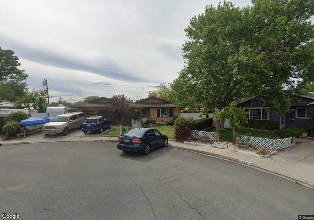
- 132 Brooks Cir
- 1804 Probasco Way
- 1806 Probasco Way
- 121 Brooks Cir
- 1710 Probasco Way
- 145 E Quail St
- 1810 Probasco Way
- 1855 Boise Dr
- 131 Brooks Cir
- 1708 Probasco Way
- 1875 Boise Dr
- 181 Brooks Cir
- 115 E Quail St
- 165 E Quail St
- 1816 Probasco Way
- 1706 Probasco Way
- 185 E Quail St
- 1803 Probasco Way
- 132 Rodger Cir
- 1895 Boise Dr