122 Bryant St Stockbridge, GA 30281
Estimated Value: $230,000 - $269,000
3
Beds
2
Baths
1,729
Sq Ft
$141/Sq Ft
Est. Value
About This Home
This home is located at 122 Bryant St, Stockbridge, GA 30281 and is currently estimated at $244,340, approximately $141 per square foot. 122 Bryant St is a home located in Henry County with nearby schools including Stockbridge Elementary School, Smith-Barnes Elementary School, and Stockbridge Middle School.
Ownership History
Date
Name
Owned For
Owner Type
Purchase Details
Closed on
May 25, 2011
Sold by
Hud-Housing Of Urban Dev
Bought by
Gregory John M
Current Estimated Value
Purchase Details
Closed on
Mar 2, 2010
Sold by
Wells Fargo Bk Na
Bought by
Hud-Housing Of Urban Dev
Purchase Details
Closed on
Jun 9, 2004
Sold by
Thompson Russell L and Thompson Betty J
Bought by
Thompsonn Mickey
Home Financials for this Owner
Home Financials are based on the most recent Mortgage that was taken out on this home.
Original Mortgage
$117,456
Interest Rate
6.25%
Mortgage Type
New Conventional
Create a Home Valuation Report for This Property
The Home Valuation Report is an in-depth analysis detailing your home's value as well as a comparison with similar homes in the area
Home Values in the Area
Average Home Value in this Area
Purchase History
| Date | Buyer | Sale Price | Title Company |
|---|---|---|---|
| Gregory John M | -- | -- | |
| Hud-Housing Of Urban Dev | -- | -- | |
| Wells Fargo Bk Na | $116,478 | -- | |
| Thompsonn Mickey | $119,300 | -- |
Source: Public Records
Mortgage History
| Date | Status | Borrower | Loan Amount |
|---|---|---|---|
| Previous Owner | Thompsonn Mickey | $117,456 |
Source: Public Records
Tax History Compared to Growth
Tax History
| Year | Tax Paid | Tax Assessment Tax Assessment Total Assessment is a certain percentage of the fair market value that is determined by local assessors to be the total taxable value of land and additions on the property. | Land | Improvement |
|---|---|---|---|---|
| 2024 | $804 | $82,960 | $15,000 | $67,960 |
| 2023 | $557 | $74,680 | $10,000 | $64,680 |
| 2022 | $304 | $62,240 | $10,000 | $52,240 |
| 2021 | $304 | $50,560 | $10,000 | $40,560 |
| 2020 | $304 | $44,240 | $10,000 | $34,240 |
| 2019 | $211 | $40,200 | $10,000 | $30,200 |
| 2018 | $0 | $39,760 | $10,000 | $29,760 |
| 2016 | $220 | $33,760 | $7,520 | $26,240 |
| 2015 | -- | $27,480 | $7,520 | $19,960 |
| 2014 | $263 | $22,520 | $5,520 | $17,000 |
Source: Public Records
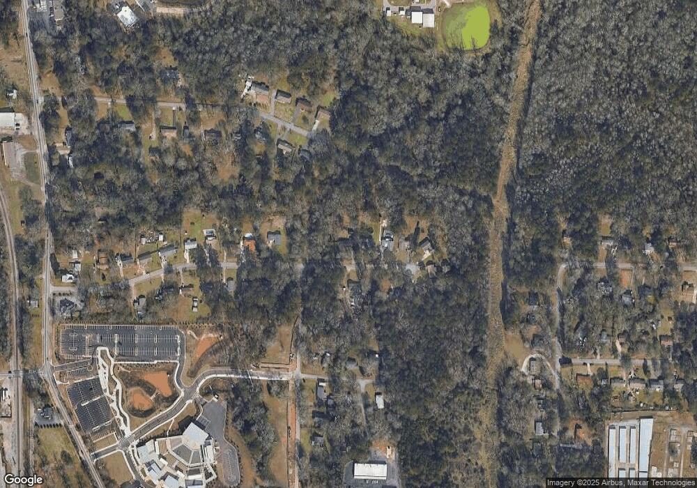
Map
Nearby Homes
- 0 SW East Fairview Rd Unit 10435662
- 3470 N Henry Blvd
- 113 Neal Ave
- 10 Briarcliff Place
- 117 Spring St
- 4891 SW East Fairview Rd
- 138 Highway E
- 216 Epping St Unit 5
- 131 Turning Point
- 117 Turning Point
- 123 Spring St
- 116 Lambert Dr
- 118 Tye St
- 513 McCain Creek Trail
- 240 Briarcliff Place Unit 2
- 500 McCain Creek Trail
- 140 Creek Cir
- 115 Creek Cir
- 158 Oakland Blvd
- 145 Pinehurst Dr
- 124 Bryant St
- 126 Bryant St
- 114 Bryant St
- 121 Bryant St
- 128 Bryant St
- 123 Bryant St
- 125 Bryant St
- 123 Duvall Dr
- 112 Bryant St
- 130 Bryant St
- 113 Bryant St
- 127 Bryant St
- 121 Duvall Dr
- 129 Bryant St
- 0 Bryant St Unit 8708060
- 0 Bryant St Unit 8605317
- 0 Bryant St Unit 8581184
- 0 Bryant St Unit 8489339
- 0 Bryant St Unit 8421912
- 0 Bryant St Unit 8250182