Estimated Value: $133,000 - $158,861
2
Beds
1
Bath
1,356
Sq Ft
$109/Sq Ft
Est. Value
About This Home
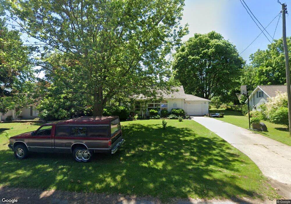
This home is located at 122 E Maple St, Elsie, MI 48831 and is currently estimated at $148,465, approximately $109 per square foot. 122 E Maple St is a home located in Clinton County with nearby schools including E.E. Knight Elementary School, Leonard Elementary School, and Ovid-Elsie Middle School.
Ownership History
Date
Name
Owned For
Owner Type
Purchase Details
Closed on
Feb 26, 2021
Sold by
Mchallam Development Llc
Bought by
Riase Wallace S
Current Estimated Value
Home Financials for this Owner
Home Financials are based on the most recent Mortgage that was taken out on this home.
Original Mortgage
$205,000
Outstanding Balance
$183,768
Interest Rate
2.7%
Mortgage Type
New Conventional
Estimated Equity
-$35,303
Purchase Details
Closed on
Aug 30, 2004
Sold by
Chrenka John D and Chrenka Becky L
Bought by
Toth Alisha and Peters Eric
Home Financials for this Owner
Home Financials are based on the most recent Mortgage that was taken out on this home.
Original Mortgage
$48,000
Interest Rate
6.1%
Mortgage Type
Purchase Money Mortgage
Create a Home Valuation Report for This Property
The Home Valuation Report is an in-depth analysis detailing your home's value as well as a comparison with similar homes in the area
Purchase History
| Date | Buyer | Sale Price | Title Company |
|---|---|---|---|
| Riase Wallace S | $205,000 | Ata National Title Group Llc | |
| Toth Alisha | $91,000 | Citizens Title Services Inc |
Source: Public Records
Mortgage History
| Date | Status | Borrower | Loan Amount |
|---|---|---|---|
| Open | Riase Wallace S | $205,000 | |
| Previous Owner | Toth Alisha | $48,000 |
Source: Public Records
Tax History
| Year | Tax Paid | Tax Assessment Tax Assessment Total Assessment is a certain percentage of the fair market value that is determined by local assessors to be the total taxable value of land and additions on the property. | Land | Improvement |
|---|---|---|---|---|
| 2025 | $1,347 | $74,800 | $4,100 | $70,700 |
| 2024 | $5 | $71,700 | $4,100 | $67,600 |
| 2023 | $484 | $59,800 | $0 | $0 |
| 2022 | $1,197 | $52,700 | $4,100 | $48,600 |
| 2021 | $1,249 | $50,200 | $3,700 | $46,500 |
| 2020 | $1,662 | $46,600 | $3,900 | $42,700 |
| 2019 | $1,036 | $37,200 | $3,900 | $33,300 |
| 2018 | $1,011 | $37,200 | $3,900 | $33,300 |
| 2017 | -- | $37,200 | $4,500 | $32,700 |
| 2016 | $969 | $37,200 | $4,500 | $32,700 |
| 2015 | -- | $34,500 | $0 | $0 |
| 2011 | -- | $35,100 | $0 | $0 |
Source: Public Records
Map
Nearby Homes
- 155 W Main St
- 204 W Pine St
- 147 E Elm St
- 249 E Elm St
- 563 N Ovid St
- 6822 N Maple River Rd
- 8348 E Maple Rapids Rd
- 8259 N Meridian Rd
- 7694 N Meridian Rd
- 11980 E South Gratiot Co Line Rd
- 117 N Maple St
- 2990 N Hollister Rd
- 2625 N Ovid Rd
- 3585 N Harmon Rd
- 1987 N Warren Rd
- 9992 Middleton Rd
- 22550 W Ferden Rd
- 332 Fitch St
- 228 W Pearl St
- 217 E Pearl St
Your Personal Tour Guide
Ask me questions while you tour the home.