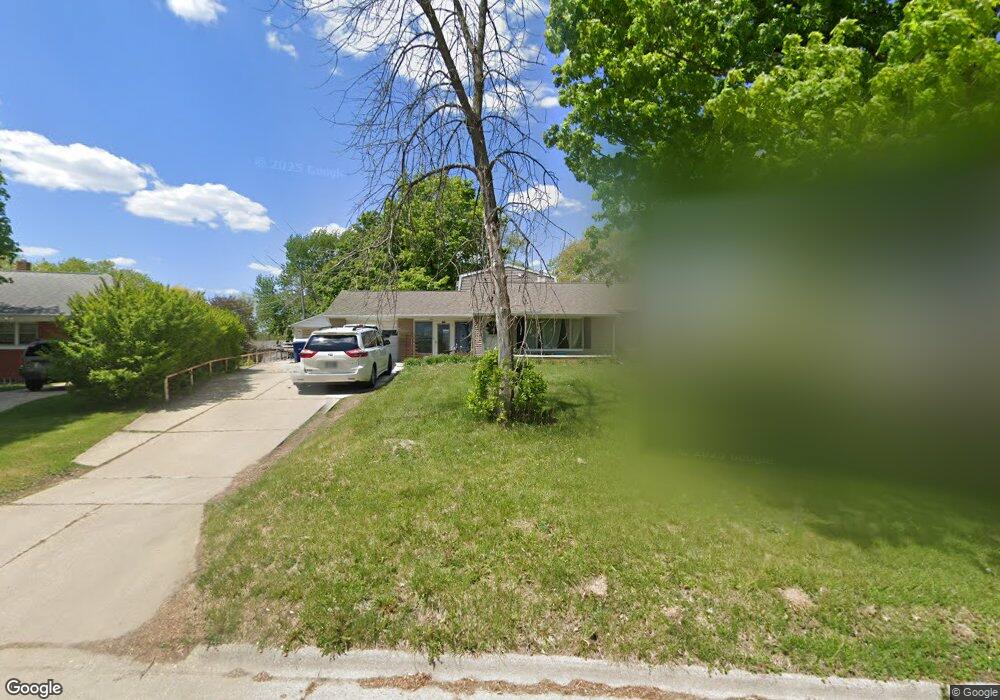
122 Faber Rd Waterloo, IA 50701
Estimated Value: $209,000 - $276,000
5
Beds
1
Bath
2,352
Sq Ft
$104/Sq Ft
Est. Value
About This Home
This home is located at 122 Faber Rd, Waterloo, IA 50701 and is currently estimated at $244,399, approximately $103 per square foot. 122 Faber Rd is a home located in Black Hawk County with nearby schools including Becker Elementary School, Central Middle School, and East High School.
Ownership History
Date
Name
Owned For
Owner Type
Purchase Details
Closed on
Mar 15, 2012
Sold by
Potter Mary H
Bought by
Bauer Joseph R and Bauer Lynn M
Current Estimated Value
Home Financials for this Owner
Home Financials are based on the most recent Mortgage that was taken out on this home.
Original Mortgage
$62,000
Outstanding Balance
$42,569
Interest Rate
3.86%
Mortgage Type
New Conventional
Estimated Equity
$201,830
Create a Home Valuation Report for This Property
The Home Valuation Report is an in-depth analysis detailing your home's value as well as a comparison with similar homes in the area
Home Values in the Area
Average Home Value in this Area
Purchase History
| Date | Buyer | Sale Price | Title Company |
|---|---|---|---|
| Bauer Joseph R | $77,500 | Title Services |
Source: Public Records
Mortgage History
| Date | Status | Borrower | Loan Amount |
|---|---|---|---|
| Open | Bauer Joseph R | $62,000 |
Source: Public Records
Tax History Compared to Growth
Tax History
| Year | Tax Paid | Tax Assessment Tax Assessment Total Assessment is a certain percentage of the fair market value that is determined by local assessors to be the total taxable value of land and additions on the property. | Land | Improvement |
|---|---|---|---|---|
| 2024 | $5,060 | $243,500 | $32,080 | $211,420 |
| 2023 | $4,260 | $243,500 | $32,080 | $211,420 |
| 2022 | $4,144 | $202,800 | $32,080 | $170,720 |
| 2021 | $3,942 | $202,800 | $32,080 | $170,720 |
| 2020 | $3,874 | $182,670 | $25,210 | $157,460 |
| 2019 | $3,874 | $182,670 | $25,210 | $157,460 |
| 2018 | $3,878 | $182,670 | $25,210 | $157,460 |
| 2017 | $4,000 | $182,670 | $25,210 | $157,460 |
| 2016 | $3,946 | $182,670 | $25,210 | $157,460 |
| 2015 | $3,946 | $182,670 | $25,210 | $157,460 |
| 2014 | $3,830 | $174,380 | $25,210 | $149,170 |
Source: Public Records
Map
Nearby Homes
- 179 Letsch Rd
- 1113 Rainbow Dr
- 1823 Rainbow Dr
- 440 S Hackett Rd
- 211 Auburn St
- 0 Bergen Dr
- 131 Niagara Dr
- 2117 Tilbury Rd
- 437 Ardmore St
- 201 Joy Dr
- 231 Hanna Blvd
- 2028 Tilbury Rd
- 225 Lambeth Rd
- 432 Auburn St
- 1114 Maynard Ave
- 2161 Rainbow Dr
- 2.29 Acres Ansborough Ave
- 2622 Garden Ave
- 1200 St Andrews Ave
- 104 Bergen Dr