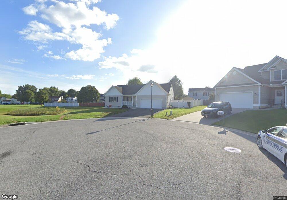
122 First Tenth Ct Dover, DE 19901
Highland Acres NeighborhoodEstimated Value: $342,387 - $385,000
3
Beds
2
Baths
1,518
Sq Ft
$239/Sq Ft
Est. Value
About This Home
This home is located at 122 First Tenth Ct, Dover, DE 19901 and is currently estimated at $363,097, approximately $239 per square foot. 122 First Tenth Ct is a home located in Kent County with nearby schools including Allen Frear Elementary School, F. Niel Postlethwait Middle School, and Caesar Rodney High School.
Ownership History
Date
Name
Owned For
Owner Type
Purchase Details
Closed on
Mar 31, 2021
Sold by
Mcguire Peter J and Mcguire Peter
Bought by
Mcguire Peter
Current Estimated Value
Home Financials for this Owner
Home Financials are based on the most recent Mortgage that was taken out on this home.
Original Mortgage
$415,500
Interest Rate
2.9%
Mortgage Type
Reverse Mortgage Home Equity Conversion Mortgage
Purchase Details
Closed on
Nov 29, 2010
Sold by
U & I Investments Llc
Bought by
Mcguire Peter J
Home Financials for this Owner
Home Financials are based on the most recent Mortgage that was taken out on this home.
Original Mortgage
$151,200
Interest Rate
4.22%
Mortgage Type
New Conventional
Purchase Details
Closed on
May 25, 2010
Sold by
Peace Associates Inc
Bought by
U & I Investments Llc
Create a Home Valuation Report for This Property
The Home Valuation Report is an in-depth analysis detailing your home's value as well as a comparison with similar homes in the area
Home Values in the Area
Average Home Value in this Area
Purchase History
| Date | Buyer | Sale Price | Title Company |
|---|---|---|---|
| Mcguire Peter | -- | Fnt Title Services Llc | |
| Mcguire Peter J | $189,000 | None Available | |
| U & I Investments Llc | $262,500 | None Available |
Source: Public Records
Mortgage History
| Date | Status | Borrower | Loan Amount |
|---|---|---|---|
| Open | Mcguire Peter | $415,500 | |
| Closed | Mcguire Peter | $415,500 | |
| Closed | Mcguire Peter J | $151,200 |
Source: Public Records
Tax History
| Year | Tax Paid | Tax Assessment Tax Assessment Total Assessment is a certain percentage of the fair market value that is determined by local assessors to be the total taxable value of land and additions on the property. | Land | Improvement |
|---|---|---|---|---|
| 2025 | $1,405 | $334,600 | $86,100 | $248,500 |
| 2024 | $1,345 | $334,600 | $86,100 | $248,500 |
| 2023 | $1,286 | $49,600 | $7,900 | $41,700 |
| 2022 | $1,215 | $49,600 | $7,900 | $41,700 |
| 2021 | $1,265 | $49,600 | $7,900 | $41,700 |
| 2020 | $1,229 | $49,600 | $7,900 | $41,700 |
| 2019 | $1,211 | $49,600 | $7,900 | $41,700 |
| 2018 | $1,115 | $49,600 | $7,900 | $41,700 |
| 2017 | $1,485 | $49,600 | $0 | $0 |
| 2016 | $1,408 | $49,600 | $0 | $0 |
| 2015 | $1,236 | $49,600 | $0 | $0 |
| 2014 | $1,224 | $49,600 | $0 | $0 |
Source: Public Records
Map
Nearby Homes
- 699 S Old Mill Rd
- 5 Waterwheel Cir
- 103 Osprey Ct
- 2158 S State St
- 83 Homestead Dr
- 142 Carter Ln
- 321 Pebble Dr
- 288 Cambridge Rd
- 135 N Fairfield Dr
- 157 Roundabout Trail
- 237 E Camden Wyoming Ave
- 100 S Shore Dr
- 1217 Voshells Mill Star Hill Rd
- 89 S Shore Dr
- 386 David Hall Rd
- 1286 Rising Sun Rd
- 126 Center St
- 1317 Lochmeath Way
- 1275 Lochmeath Way
- 464 Orchard Grove Dr
- 120 First Tenth Ct
- 21 Lordship Ln
- 19 Lordship Ln
- 23 Lordship Ln
- 112 First Tenth Ct
- 17 Lordship Ln
- 97 First Tenth Ct
- 100 First Tenth Ct
- 25 Lordship Ln
- 70 First Tenth Ct
- 15 Lordship Ln
- 89 First Tenth Ct
- 60 First Tenth Ct
- 514 Lebanon Rd
- 20 Lordship Ln
- 18 Lordship Ln
- 48 First Tenth Ct
- 22 Lordship Ln
- 16 Lordship Ln
- 0 First Tenth Ct Unit 5355496
Your Personal Tour Guide
Ask me questions while you tour the home.