Estimated Value: $305,000 - $472,000
3
Beds
2
Baths
2,101
Sq Ft
$184/Sq Ft
Est. Value
About This Home
This home is located at 122 Greenwich Plns Rd, Ware, MA 01082 and is currently estimated at $386,000, approximately $183 per square foot. 122 Greenwich Plns Rd is a home located in Hampshire County with nearby schools including Stanley M. Koziol Elementary School, Ware Middle School, and Ware Junior/Senior High School.
Ownership History
Date
Name
Owned For
Owner Type
Purchase Details
Closed on
Mar 19, 2018
Sold by
Krupa Colleen M Est
Bought by
Krupa Stephen R
Current Estimated Value
Home Financials for this Owner
Home Financials are based on the most recent Mortgage that was taken out on this home.
Original Mortgage
$140,000
Outstanding Balance
$100,659
Interest Rate
4.22%
Mortgage Type
New Conventional
Estimated Equity
$285,341
Create a Home Valuation Report for This Property
The Home Valuation Report is an in-depth analysis detailing your home's value as well as a comparison with similar homes in the area
Home Values in the Area
Average Home Value in this Area
Purchase History
| Date | Buyer | Sale Price | Title Company |
|---|---|---|---|
| Krupa Stephen R | $162,500 | -- |
Source: Public Records
Mortgage History
| Date | Status | Borrower | Loan Amount |
|---|---|---|---|
| Open | Krupa Stephen R | $140,000 |
Source: Public Records
Tax History Compared to Growth
Tax History
| Year | Tax Paid | Tax Assessment Tax Assessment Total Assessment is a certain percentage of the fair market value that is determined by local assessors to be the total taxable value of land and additions on the property. | Land | Improvement |
|---|---|---|---|---|
| 2025 | $4,684 | $311,000 | $70,300 | $240,700 |
| 2024 | $4,530 | $277,400 | $66,300 | $211,100 |
| 2023 | $4,904 | $284,100 | $66,400 | $217,700 |
| 2022 | $4,771 | $246,700 | $61,500 | $185,200 |
| 2021 | $4,643 | $230,100 | $61,500 | $168,600 |
| 2020 | $4,747 | $230,100 | $61,500 | $168,600 |
| 2019 | $4,650 | $230,100 | $61,500 | $168,600 |
| 2018 | $4,440 | $214,400 | $60,400 | $154,000 |
| 2017 | $4,372 | $210,500 | $60,400 | $150,100 |
| 2016 | $4,254 | $210,500 | $60,400 | $150,100 |
| 2015 | $4,136 | $210,500 | $60,400 | $150,100 |
| 2014 | $4,184 | $228,500 | $72,200 | $156,300 |
Source: Public Records
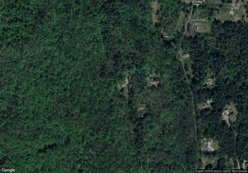
Map
Nearby Homes
- 113 Greenwich Plains Rd
- 54 Cummings Rd
- Lot 40 Osborne Rd
- 209 Osborne Rd
- 84 Greenwich Rd
- 36 Berkshire Cir
- 143 Eagle St
- 84 Anderson Rd
- 201 Belchertown Rd
- 20 Indian Hill Rd
- 46 Horseshoe Cir
- 24 Monson Turnpike Rd
- Lot 7 Monson Turnpike Rd
- Lot 1 Monson Turnpike Rd
- 10 Pearl St
- Lot 16 Coldbrook Dr
- Lot 20 Coldbrook Dr
- Lot 22 Coldbrook Dr
- Lot 13 Coldbrook Dr
- Lot 25 Coldbrook Dr
- 118 Greenwich Plns Rd
- 116 Greenwich Plns Rd
- 130 Greenwich Plns Rd
- 125 Greenwich Plns Rd
- 113 Greenwich Plns Rd
- 115 Greenwich Plns Rd
- 184 Greenwich Plains Rd
- 131 Greenwich Plns Rd
- 150 Greenwich Plns Rd
- 109 Greenwich Plains Rd
- 109 Greenwich Plns Rd
- 140 Greenwich Plns Rd
- 140 Greenwich Plns Rd
- 75 Cummings Rd
- 140 Greenwich Plains Rd
- 215 Greenwich Plains Rd
- 0 Old Poor Farm Rd
- 0 Old Poor Farm Rd Unit 70427625
- 0 Old Poor Farm Rd Unit 73074142
- 0 Old Poor Farm Rd Unit 70658112