122 Lone Oak Dr Swanton, VT 05488
Estimated Value: $515,000 - $555,000
3
Beds
3
Baths
1,792
Sq Ft
$298/Sq Ft
Est. Value
About This Home
This home is located at 122 Lone Oak Dr, Swanton, VT 05488 and is currently estimated at $533,918, approximately $297 per square foot. 122 Lone Oak Dr is a home located in Franklin County with nearby schools including St. Albans Town Educational Center and Bellows Free Academy High School.
Ownership History
Date
Name
Owned For
Owner Type
Purchase Details
Closed on
Nov 21, 2024
Sold by
Franconia Real Estate Services Inc D/B
Bought by
Vanleuven Andrew and Vanleuven Van Leuven
Current Estimated Value
Purchase Details
Closed on
Oct 21, 2024
Sold by
Clement Christopher and Clement Yazmin
Bought by
Franconia Real Estate Services Inc D/B
Purchase Details
Closed on
Nov 21, 2022
Sold by
Gravelin Cristopher
Bought by
Clement Christopher
Purchase Details
Closed on
Nov 1, 2019
Sold by
Keefe Peggy
Bought by
Gravelin Cristopher
Create a Home Valuation Report for This Property
The Home Valuation Report is an in-depth analysis detailing your home's value as well as a comparison with similar homes in the area
Home Values in the Area
Average Home Value in this Area
Purchase History
| Date | Buyer | Sale Price | Title Company |
|---|---|---|---|
| Vanleuven Andrew | $515,000 | -- | |
| Franconia Real Estate Services Inc D/B | $519,000 | -- | |
| Clement Christopher | $423,500 | -- | |
| Clement Christopher | $423,500 | -- | |
| Clement Christopher | $423,500 | -- | |
| Gravelin Cristopher | $299,000 | -- | |
| Gravelin Cristopher | $299,000 | -- |
Source: Public Records
Tax History Compared to Growth
Tax History
| Year | Tax Paid | Tax Assessment Tax Assessment Total Assessment is a certain percentage of the fair market value that is determined by local assessors to be the total taxable value of land and additions on the property. | Land | Improvement |
|---|---|---|---|---|
| 2024 | -- | $297,900 | $107,100 | $190,800 |
| 2023 | -- | $297,900 | $107,100 | $190,800 |
| 2022 | $5,850 | $297,900 | $107,100 | $190,800 |
| 2021 | $5,889 | $297,900 | $107,100 | $190,800 |
| 2020 | $5,465 | $297,900 | $107,100 | $190,800 |
| 2019 | $5,268 | $297,900 | $107,100 | $190,800 |
| 2018 | $7,489 | $297,900 | $107,100 | $190,800 |
| 2017 | $5,019 | $297,900 | $107,100 | $190,800 |
| 2016 | $5,234 | $297,900 | $107,100 | $190,800 |
Source: Public Records
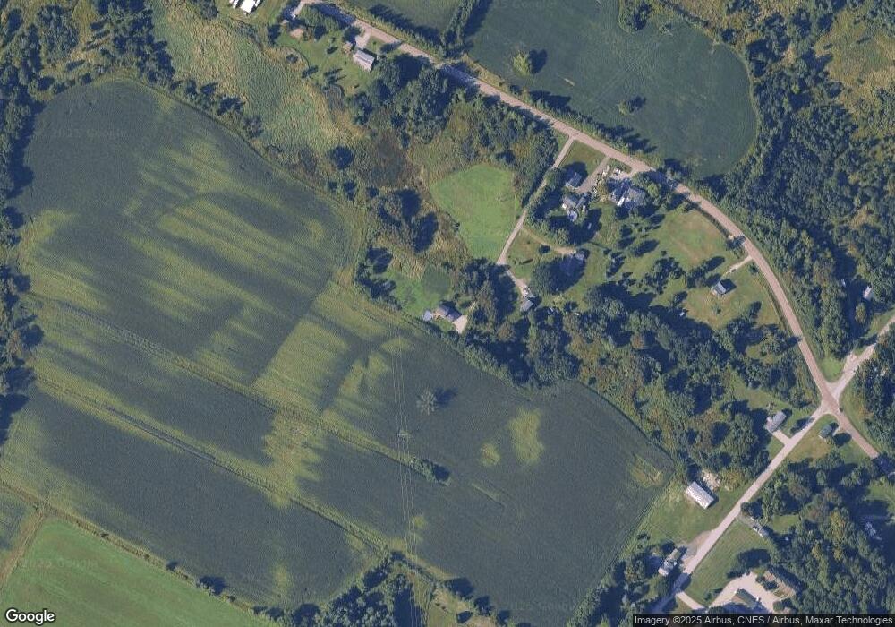
Map
Nearby Homes
- 1679 Kellogg Rd
- TBD Olivia Ln Unit Lot 4
- 52 Cody Dr
- 74 Jean Ln
- Lot 2 Champlain Commons
- 48 Sugar Maple Dr
- 34 Maple Grove Estates
- 98 Sugar Maple Dr
- 600 Fairfax Lot 3 Rd
- 4455 Lower Newton Rd
- 204 Franklin Park W Unit 204
- 40 Dozer Dr
- 426 St Albans Rd
- 16 Dozer Dr
- 17 Reeves Rd
- 21 Reeves Rd
- 25 Reeves Rd
- 29 Reeves Rd
- 45 Reeves Rd
- 13 Asia Ln
- 85 Lone Oak Rd
- 65 Lone Oak Rd
- 2449 Lower Newton Rd
- 2427 Lower Newton Rd
- 2609 Lower Newton Rd
- 2609 Lower Newton St
- 2345 Lower Newton Rd
- 2651 Lower Newton Rd
- 2331 Kellogg Rd
- 2435 Kellogg Rd
- 2658 Lower Newton Rd
- 2382 Kellogg Rd
- 2442 Kellogg Rd
- 2502 Kellogg Rd
- 2487 Kellogg Rd
- 2528 Kellogg Rd
- 2171 Kellogg Rd
- 2326 Kellogg Rd Unit 5
- 2326 Kellogg Rd Unit 3
- 2326 Kellogg Rd Unit 6