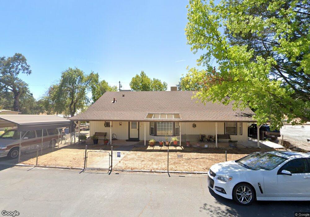
122 Main St Copperopolis, CA 95228
Estimated Value: $281,204 - $453,000
2
Beds
1
Bath
1,816
Sq Ft
$221/Sq Ft
Est. Value
About This Home
This home is located at 122 Main St, Copperopolis, CA 95228 and is currently estimated at $401,801, approximately $221 per square foot. 122 Main St is a home with nearby schools including Bret Harte Union High School.
Ownership History
Date
Name
Owned For
Owner Type
Purchase Details
Closed on
Oct 15, 2002
Sold by
Avey Ken J
Bought by
Thomas Shirley A
Current Estimated Value
Home Financials for this Owner
Home Financials are based on the most recent Mortgage that was taken out on this home.
Original Mortgage
$156,750
Outstanding Balance
$65,380
Interest Rate
6.09%
Estimated Equity
$336,421
Purchase Details
Closed on
May 20, 2002
Sold by
Mccarty Patricia Ann and Mccarty Ronald Dean
Bought by
Mccarty Patricia and Mccarty Ronald D
Create a Home Valuation Report for This Property
The Home Valuation Report is an in-depth analysis detailing your home's value as well as a comparison with similar homes in the area
Home Values in the Area
Average Home Value in this Area
Purchase History
| Date | Buyer | Sale Price | Title Company |
|---|---|---|---|
| Thomas Shirley A | $165,000 | First American Title Ins Co | |
| Mccarty Patricia | -- | -- |
Source: Public Records
Mortgage History
| Date | Status | Borrower | Loan Amount |
|---|---|---|---|
| Open | Thomas Shirley A | $156,750 |
Source: Public Records
Tax History
| Year | Tax Paid | Tax Assessment Tax Assessment Total Assessment is a certain percentage of the fair market value that is determined by local assessors to be the total taxable value of land and additions on the property. | Land | Improvement |
|---|---|---|---|---|
| 2025 | $1,292 | $87,707 | $1,739 | $85,968 |
| 2023 | $1,262 | $84,303 | $1,672 | $82,631 |
| 2022 | $1,124 | $82,651 | $1,640 | $81,011 |
| 2021 | $1,108 | $81,031 | $1,608 | $79,423 |
| 2020 | $1,100 | $80,201 | $1,592 | $78,609 |
| 2019 | $1,087 | $78,629 | $1,561 | $77,068 |
| 2018 | $1,070 | $77,088 | $1,531 | $75,557 |
| 2017 | $1,050 | $75,577 | $1,501 | $74,076 |
| 2016 | $1,045 | $74,096 | $1,472 | $72,624 |
| 2015 | $1,034 | $72,984 | $1,450 | $71,534 |
| 2014 | -- | $71,555 | $1,422 | $70,133 |
Source: Public Records
Map
Nearby Homes
- 444 Jackson St
- 225 Stone St
- 350 Town Square Rd
- 660 Hodson Rd
- 100 Hodson Rd
- 3045 Salmon Rd
- 2810 Cheyenne Rd
- 2679 Salmon Ct
- 3134 Canoe St
- 1172 Hodson Rd
- 2844 Canoe St
- 2422 Cheyenne Rd
- 3570 Stagecoach Rd
- 1976 Inyo Ct
- 1815 Hoya Ct
- 5271 Appaloosa Way
- 28 Black Creek Dr
- 1751 Choctaw Rd
- 4394 Appaloosa Way
- 4369 Conestoga Trail
- 142 Main St
- 143 Main St
- 157 Main St
- 171 Main St
- 103 Main St
- 16 Cooper Ln E
- 14 Hesier Canyon Creek Rd
- 29 End of Council Trail
- 4-Carmen Valley Hunt Rd Unit 4314
- 4-Carmen Valley Hunt Rd
- 0 Heiser Creek Road Pvt Unit 19012148
- 0 Heiser Creek Rd Unit 19012147
- 181 Main St
- 137 Main St
- 6 Obyrnes Ferry Rd
- 230 Mineral St
- 223 Baker St
- 190 Rock Creek Ct
- 112 Rock Creek Ct
- 290 Baker St
Your Personal Tour Guide
Ask me questions while you tour the home.