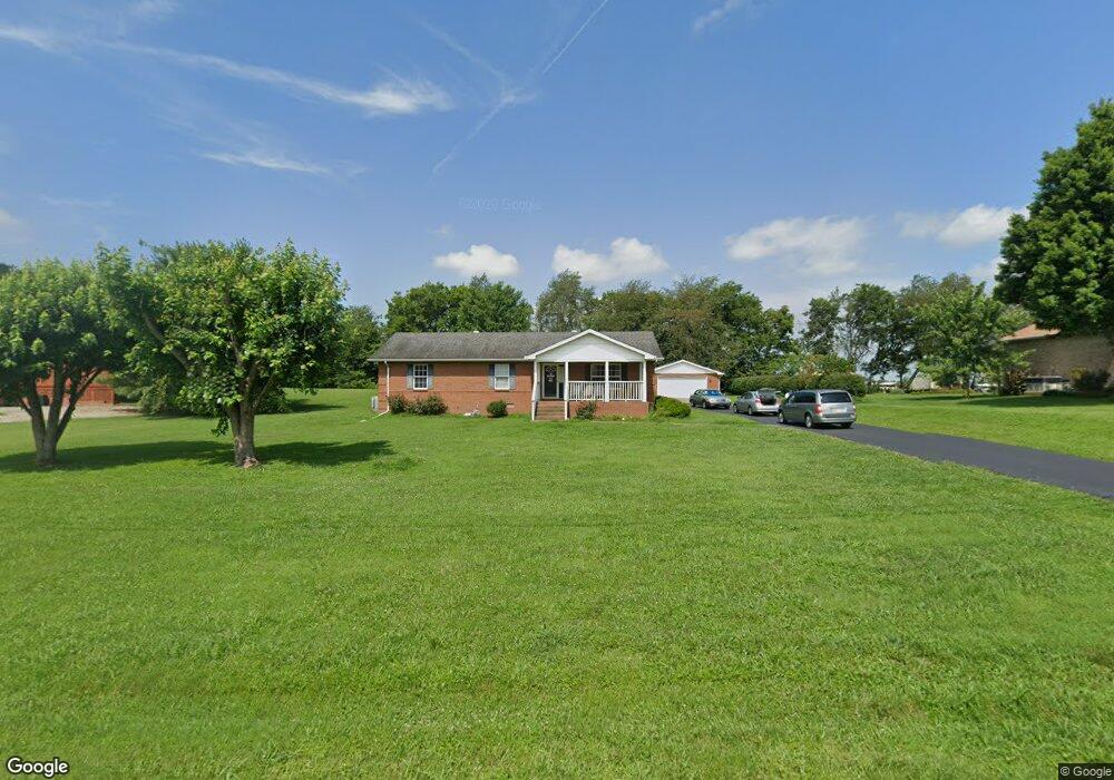
122 Rolling Meadows Ave Portland, TN 37148
Estimated Value: $312,973 - $447,000
--
Bed
2
Baths
1,595
Sq Ft
$232/Sq Ft
Est. Value
About This Home
This home is located at 122 Rolling Meadows Ave, Portland, TN 37148 and is currently estimated at $370,743, approximately $232 per square foot. 122 Rolling Meadows Ave is a home located in Sumner County with nearby schools including Watt Hardison Elementary School, Portland West Middle School, and Portland High School.
Ownership History
Date
Name
Owned For
Owner Type
Purchase Details
Closed on
Nov 21, 1997
Sold by
Ralph Woods
Bought by
Searcy Harold E and Searcy Anna Jo
Current Estimated Value
Home Financials for this Owner
Home Financials are based on the most recent Mortgage that was taken out on this home.
Original Mortgage
$87,000
Outstanding Balance
$13,151
Interest Rate
7.19%
Estimated Equity
$357,592
Purchase Details
Closed on
Oct 28, 1996
Sold by
Shannon Robert L and Shannon Mary Holmes
Bought by
Woods Ralph
Create a Home Valuation Report for This Property
The Home Valuation Report is an in-depth analysis detailing your home's value as well as a comparison with similar homes in the area
Home Values in the Area
Average Home Value in this Area
Purchase History
| Date | Buyer | Sale Price | Title Company |
|---|---|---|---|
| Searcy Harold E | $87,000 | Title Escrow Robertson Count | |
| Woods Ralph | $10,500 | -- |
Source: Public Records
Mortgage History
| Date | Status | Borrower | Loan Amount |
|---|---|---|---|
| Open | Searcy Harold E | $87,000 |
Source: Public Records
Tax History Compared to Growth
Tax History
| Year | Tax Paid | Tax Assessment Tax Assessment Total Assessment is a certain percentage of the fair market value that is determined by local assessors to be the total taxable value of land and additions on the property. | Land | Improvement |
|---|---|---|---|---|
| 2025 | $1,244 | $87,525 | $0 | $0 |
| 2024 | $1,244 | $87,525 | $15,000 | $72,525 |
| 2023 | $1,909 | $55,950 | $11,925 | $44,025 |
| 2022 | $1,859 | $55,950 | $11,925 | $44,025 |
| 2021 | $1,859 | $55,950 | $11,925 | $44,025 |
| 2020 | $1,817 | $55,950 | $11,925 | $44,025 |
| 2019 | $2,474 | $0 | $0 | $0 |
| 2018 | $1,479 | $0 | $0 | $0 |
| 2017 | $1,404 | $0 | $0 | $0 |
| 2016 | $1,404 | $0 | $0 | $0 |
| 2015 | -- | $0 | $0 | $0 |
| 2014 | -- | $0 | $0 | $0 |
Source: Public Records
Map
Nearby Homes
- 135 Irish Oaks Dr
- 725B N Russell St
- 727A N Russell St
- 730 N Russell St
- 104 Mesa Dr
- 136A Wind Wood Dr
- 128 Emma Dr
- 229 Westland St
- 746 N Russell St
- 1027 Founders Ln
- 137 Bryan James Ln
- 510 N Russell St
- 207 Meadow Ln
- 116 Chad St E
- 1001 Chad St W
- 115 Sunset Place
- 419 N Russell St
- 101 Jasmine Way
- 103 Teton Ct
- 1200 Vickie Ln
- 120 Rolling Meadows Ave
- 124 Rolling Meadows Ave
- 118 Rolling Meadows Ave
- 126 Rolling Meadows Ave
- 131 Rolling Meadows Ave
- 129 Rolling Meadows Dr
- 129 Rolling Meadows Ave
- 133 Rolling Meadows Ave
- 127 Rolling Meadows Ave
- 116 Rolling Meadows Ave
- 125 Rolling Meadows Ave
- 111 Briley Ln
- 105 Briley Ln
- 114 Rolling Meadows Ave
- 716 N Russell St
- 714A N Russell St
- 714 N Russell St Unit B
- 714 N Russell St Unit A
- 714B N Russell St