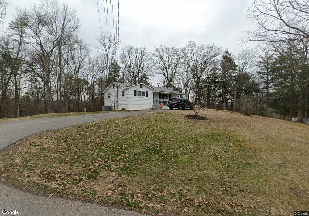
122 Walters St Luttrell, TN 37779
Estimated Value: $149,000 - $215,000
Studio
1
Bath
1,035
Sq Ft
$169/Sq Ft
Est. Value
About This Home
This home is located at 122 Walters St, Luttrell, TN 37779 and is currently estimated at $175,331, approximately $169 per square foot. 122 Walters St is a home located in Union County with nearby schools including Luttrell Elementary School, H Maynard Middle School, and Union County High School.
Ownership History
Date
Name
Owned For
Owner Type
Purchase Details
Closed on
Feb 5, 2021
Sold by
Grigsby John D and Cloud Karen
Bought by
Hammond Melissa and Hammond James Jeffery
Current Estimated Value
Purchase Details
Closed on
Jun 13, 2019
Sold by
Grigsby John D and Last Will And Testament Of Luc
Bought by
Grigsby John D and Cloud Karen
Purchase Details
Closed on
Jan 6, 1962
Bought by
Grigsby John and Grigsby Lucy
Create a Home Valuation Report for This Property
The Home Valuation Report is an in-depth analysis detailing your home's value as well as a comparison with similar homes in the area
Home Values in the Area
Average Home Value in this Area
Purchase History
| Date | Buyer | Sale Price | Title Company |
|---|---|---|---|
| Hammond Melissa | -- | None Available | |
| Grigsby John D | -- | None Available | |
| Grigsby John D | -- | None Available | |
| Grigsby John | -- | -- | |
| Grigsby John | -- | -- |
Source: Public Records
Tax History
| Year | Tax Paid | Tax Assessment Tax Assessment Total Assessment is a certain percentage of the fair market value that is determined by local assessors to be the total taxable value of land and additions on the property. | Land | Improvement |
|---|---|---|---|---|
| 2025 | $511 | $26,875 | $4,200 | $22,675 |
| 2024 | $511 | $26,875 | $4,200 | $22,675 |
| 2023 | $511 | $26,875 | $4,200 | $22,675 |
| 2022 | $427 | $26,875 | $4,200 | $22,675 |
| 2021 | $408 | $19,050 | $5,475 | $13,575 |
| 2020 | $408 | $19,050 | $5,475 | $13,575 |
| 2019 | $408 | $19,050 | $5,475 | $13,575 |
| 2018 | $408 | $19,050 | $5,475 | $13,575 |
| 2017 | $413 | $19,300 | $5,475 | $13,825 |
| 2016 | $386 | $17,800 | $5,475 | $12,325 |
| 2015 | $386 | $17,800 | $5,475 | $12,325 |
| 2014 | $319 | $17,814 | $0 | $0 |
Source: Public Records
Map
Nearby Homes
- 3528 Highway 61 E
- 3243 Highway 61 E
- 3002 Highway 61 E
- 0 Wolfenbarger Tract 1 Unit 1294792
- 0 Tazewell Pike Unit 1312170
- 738 & 742 Archer Rd
- 295 Archer Rd
- 1617 Bull Run Rd
- 204 Archer Rd
- 417 Wolfe Rd
- 295 Clear Branch Rd
- 388 Damewood Hollow Rd
- 110 Wenger Park Ln
- 259 Little Tater Valley Rd
- 0 Washington Pike Unit 1228004
- 319 Tater Valley Rd
- 560 Prospect Rd
- 505 Mckinney Rd
- 10728 Mountain Rd
- 0 Long Acres Rd Unit 1319102
- 106 Walters St
- 127 Walters St
- 3324 Highway 61 E
- 130 Walters St
- 142 Walters St
- 154 Walters St
- 3310 Highway 61 E
- 3325 Highway 61 E
- 105 Cedar Ave
- 3504 Tn-61
- 3504 Highway 61 E
- 128 Walnut Ave
- 170 Walters St
- 149 Walters St
- 3319 Highway 61 E
- 142 Walnut Ave
- 110 Walnut Ave
- 3510 Highway 61 E
- 3505 Highway 61 E
- 3511 Highway 61 E
Your Personal Tour Guide
Ask me questions while you tour the home.