1220 76th St SE Byron Center, MI 49315
Estimated Value: $535,381 - $755,000
3
Beds
3
Baths
2,830
Sq Ft
$227/Sq Ft
Est. Value
About This Home
This home is located at 1220 76th St SE, Byron Center, MI 49315 and is currently estimated at $642,345, approximately $226 per square foot. 1220 76th St SE is a home located in Kent County with nearby schools including Countryside Elementary School, Robert L. Nickels Intermediate School, and Byron Center West Middle School.
Ownership History
Date
Name
Owned For
Owner Type
Purchase Details
Closed on
Dec 3, 2024
Sold by
Furst Michael A and Furst Maureen T
Bought by
Furst Revocable Trust and Furst
Current Estimated Value
Create a Home Valuation Report for This Property
The Home Valuation Report is an in-depth analysis detailing your home's value as well as a comparison with similar homes in the area
Home Values in the Area
Average Home Value in this Area
Purchase History
| Date | Buyer | Sale Price | Title Company |
|---|---|---|---|
| Furst Revocable Trust | -- | None Listed On Document | |
| Furst Revocable Trust | -- | None Listed On Document |
Source: Public Records
Tax History Compared to Growth
Tax History
| Year | Tax Paid | Tax Assessment Tax Assessment Total Assessment is a certain percentage of the fair market value that is determined by local assessors to be the total taxable value of land and additions on the property. | Land | Improvement |
|---|---|---|---|---|
| 2025 | $2,701 | $263,200 | $0 | $0 |
| 2024 | $2,701 | $259,700 | $0 | $0 |
| 2022 | $3,124 | $199,500 | $0 | $0 |
| 2021 | $3,124 | $183,900 | $0 | $0 |
| 2020 | $3,124 | $176,200 | $0 | $0 |
| 2019 | $3,124 | $166,700 | $0 | $0 |
| 2018 | $3,124 | $148,300 | $29,500 | $118,800 |
| 2017 | $0 | $132,800 | $0 | $0 |
| 2016 | $0 | $120,100 | $0 | $0 |
| 2015 | -- | $120,100 | $0 | $0 |
| 2013 | -- | $102,400 | $0 | $0 |
Source: Public Records
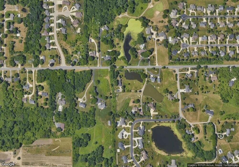
Map
Nearby Homes
- 7772 Greendale Dr
- 7359 Heather Ridge Ct SE
- 7857 High Knoll Dr SE
- 7362 Forsythia Ave SE
- 7868 High Knoll Dr
- 1518 Crystal Valley Ct SE
- 7533 Melinda Ct SE
- 1527 Fairwood Ct SE
- 7945 Greendale Dr
- 1180 Greendale Ct
- 7879 Eastern Ave SE
- 7871 Eastern Ave SE
- 1144 Cobblestone Way Dr SE
- 8184 Dreamfield Ct
- 774 72nd St SE
- 1079 Swather St SE
- 7432 Sunview Dr SE
- 1964 Crystal View Ct SE
- 1721 Fountainview Ct SE
- 8368 Brickley St
- 1221 76th St SE
- 1189 76th St SE
- 1160 76th St SE
- 1230 76th St SE
- 1250 76th St SE
- 1187 76th St SE
- 1265 76th St SE
- 7707 Harmony Cove SE Unit 1
- 7707 SE Harmony Cove Ct Unit 1
- 7707 SE Harmony Cove Ct
- 7691 Harmony Cove SE
- 1161 76th St SE
- 1260 76th St SE
- 1138 76th St SE
- 1277 76th St SE
- 1277 76th St SE
- 1127 76th St SE
- 7729 Harmony Cove SE
- 7655 Harmony Cove SE
- 7655 Harmony Cove SE