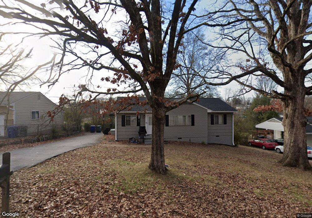
1220 Echo Dr Hixson, TN 37343
Dupont NeighborhoodEstimated Value: $171,120 - $261,000
--
Bed
1
Bath
1,004
Sq Ft
$230/Sq Ft
Est. Value
About This Home
This home is located at 1220 Echo Dr, Hixson, TN 37343 and is currently estimated at $231,030, approximately $230 per square foot. 1220 Echo Dr is a home located in Hamilton County with nearby schools including DuPont Elementary School, St Jude School, and St. Peter's Episcopal School.
Ownership History
Date
Name
Owned For
Owner Type
Purchase Details
Closed on
Feb 28, 2025
Sold by
Crow James M
Bought by
Crow James M and Crow Patricia A
Current Estimated Value
Purchase Details
Closed on
Feb 8, 2017
Sold by
Thomas Mary Lynn
Bought by
Crow James M
Purchase Details
Closed on
Aug 1, 2007
Sold by
Crow James M
Bought by
Thomas Mary Lynn
Purchase Details
Closed on
Mar 29, 2007
Sold by
Westgate Property Management Llc
Bought by
Crow James M
Purchase Details
Closed on
Dec 30, 2005
Sold by
Crow James M
Bought by
Westgate Property Management Llc
Purchase Details
Closed on
Dec 5, 2003
Sold by
Hammersley Martha Alice
Bought by
Crow James M
Create a Home Valuation Report for This Property
The Home Valuation Report is an in-depth analysis detailing your home's value as well as a comparison with similar homes in the area
Home Values in the Area
Average Home Value in this Area
Purchase History
| Date | Buyer | Sale Price | Title Company |
|---|---|---|---|
| Crow James M | -- | None Listed On Document | |
| Crow James M | -- | None Available | |
| Thomas Mary Lynn | -- | First Title | |
| Crow James M | -- | First Title | |
| Westgate Property Management Llc | -- | None Available | |
| Crow James M | $3,700 | -- |
Source: Public Records
Tax History Compared to Growth
Tax History
| Year | Tax Paid | Tax Assessment Tax Assessment Total Assessment is a certain percentage of the fair market value that is determined by local assessors to be the total taxable value of land and additions on the property. | Land | Improvement |
|---|---|---|---|---|
| 2024 | $528 | $23,600 | $0 | $0 |
| 2023 | $528 | $23,600 | $0 | $0 |
| 2022 | $528 | $23,600 | $0 | $0 |
| 2021 | $528 | $23,600 | $0 | $0 |
| 2020 | $542 | $19,600 | $0 | $0 |
| 2019 | $542 | $19,600 | $0 | $0 |
| 2018 | $573 | $19,600 | $0 | $0 |
| 2017 | $542 | $19,600 | $0 | $0 |
| 2016 | $531 | $0 | $0 | $0 |
| 2015 | $1,089 | $19,200 | $0 | $0 |
| 2014 | $1,089 | $0 | $0 | $0 |
Source: Public Records
Map
Nearby Homes
- 1237 Cranbrook Dr
- 1329 Highland Way
- 955 Brynwood Dr
- 1716 Strawberry Ln
- 1638 Green Hill Dr
- 410 Bardwood Ln
- 1325 Highland Rd
- 1328 Highland Rd
- 1313 Michael Ln
- 961 Ashland Terrace
- 4706 Eldridge Rd
- 4607 Cloverdale Loop
- 4609 Plaza Hills Ln
- 3944 Azalean Dr
- 810 Forest Dale Ln
- 3609 Forest Highland Dr
- 3842 Atlanta Dr
- 1216 Clermont Dr
- 4529 Sherry Ln
- 1004 Brynehill Ln