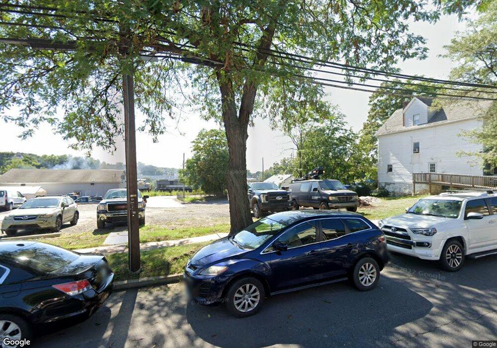
1220 Linden St Scranton, PA 18510
Hill Section NeighborhoodEstimated Value: $332,411
--
Bed
--
Bath
2,925
Sq Ft
$114/Sq Ft
Est. Value
About This Home
This home is located at 1220 Linden St, Scranton, PA 18510 and is currently estimated at $332,411, approximately $113 per square foot. 1220 Linden St is a home located in Lackawanna County with nearby schools including Jackson Davis Elementary School, Longdale Elementary School, and Pinchbeck Elementary School.
Ownership History
Date
Name
Owned For
Owner Type
Purchase Details
Closed on
Jul 30, 2013
Sold by
Mtj Development Llc
Bought by
University Of Scranton
Current Estimated Value
Purchase Details
Closed on
Mar 25, 2013
Sold by
Terrinoni Geri Lynn
Bought by
Mtj Development Llc
Purchase Details
Closed on
Oct 16, 2012
Sold by
Terrinoni Anthony W
Bought by
Mtj Development Llc
Create a Home Valuation Report for This Property
The Home Valuation Report is an in-depth analysis detailing your home's value as well as a comparison with similar homes in the area
Home Values in the Area
Average Home Value in this Area
Purchase History
| Date | Buyer | Sale Price | Title Company |
|---|---|---|---|
| University Of Scranton | $170,000 | None Available | |
| Mtj Development Llc | -- | None Available | |
| Mtj Development Llc | -- | None Available |
Source: Public Records
Tax History Compared to Growth
Tax History
| Year | Tax Paid | Tax Assessment Tax Assessment Total Assessment is a certain percentage of the fair market value that is determined by local assessors to be the total taxable value of land and additions on the property. | Land | Improvement |
|---|---|---|---|---|
| 2025 | $3,474 | $10,000 | $2,900 | $7,100 |
| 2024 | $3,192 | $10,000 | $2,900 | $7,100 |
| 2023 | $3,192 | $10,000 | $2,900 | $7,100 |
| 2022 | $3,123 | $10,000 | $2,900 | $7,100 |
| 2021 | $3,123 | $10,000 | $2,900 | $7,100 |
| 2020 | $3,069 | $10,000 | $2,900 | $7,100 |
| 2019 | $2,892 | $10,000 | $2,900 | $7,100 |
| 2018 | $2,892 | $10,000 | $2,900 | $7,100 |
| 2017 | $2,845 | $10,000 | $2,900 | $7,100 |
| 2016 | $1,033 | $10,000 | $2,900 | $7,100 |
| 2015 | -- | $10,000 | $2,900 | $7,100 |
| 2014 | -- | $10,000 | $2,900 | $7,100 |
Source: Public Records
Map
Nearby Homes
- 316 Taylor Ave
- 432 Taylor Ave
- 329 Prescott Ave
- 228 Prescott Ave
- 560 N Webster Ave
- 342 Harrison Ave
- 550 Clay Ave Unit 8c
- 610 Moosic St
- 1325 Olive St
- 527 Quincy Ave
- 545 Prescott Ave
- 516 Harrison Ave
- 621 Clay Ave
- 824 Hemlock St
- 24 Stafford Ave
- 7 Oakwood Place
- 616-618 Harrison Ave
- 0 Colfax Ave
- 715 Prescott Ave Unit L17
- 538 Orchard St
- 1222 Linden St
- 1219 Ridge Row
- 1221 Linden St
- 1306 Linden St
- 1213 Linden St Unit 1215
- 1310 Linden St
- 305 Taylor Ave Unit 307
- 1209 Linden St Unit 1211
- 1206 Linden St
- 1314 Linden St
- 313 Taylor Ave
- 1316 Linden St
- 318 Taylor Ave
- 320 Taylor Ave
- 322 Taylor Ave
- 316 320 Taylor Ave
- 316 Taylor Ave Unit 322
- 1318 Linden St
- 324 Taylor Ave Unit 326
- 324-326 Taylor Ave
