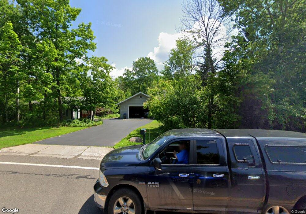
1220 N 43rd Ave E Duluth, MN 55804
Lakeside-Lester Park NeighborhoodEstimated Value: $364,000 - $552,000
3
Beds
2
Baths
2,012
Sq Ft
$235/Sq Ft
Est. Value
About This Home
This home is located at 1220 N 43rd Ave E, Duluth, MN 55804 and is currently estimated at $473,249, approximately $235 per square foot. 1220 N 43rd Ave E is a home located in St. Louis County with nearby schools including Lester Park Elementary School, Ordean East Middle School, and East High School.
Ownership History
Date
Name
Owned For
Owner Type
Purchase Details
Closed on
May 10, 2016
Sold by
Anderson Ronald L and Anderson Robin L
Bought by
The Robin Lee Anderson Revocable Trust
Current Estimated Value
Purchase Details
Closed on
Jan 16, 2004
Sold by
C & W Development
Bought by
Anderson Ronald L and Anderson Robin L
Purchase Details
Closed on
Sep 23, 2002
Sold by
Cushman Nancy and Cushman Warren R
Bought by
Wesanen Suzanne K
Purchase Details
Closed on
Sep 16, 2002
Sold by
Wesanen Suzanne K
Bought by
C & W Development
Create a Home Valuation Report for This Property
The Home Valuation Report is an in-depth analysis detailing your home's value as well as a comparison with similar homes in the area
Home Values in the Area
Average Home Value in this Area
Purchase History
| Date | Buyer | Sale Price | Title Company |
|---|---|---|---|
| The Robin Lee Anderson Revocable Trust | -- | Attorney | |
| Anderson Ronald L | $43,000 | Consolidated Title | |
| Wesanen Suzanne K | -- | Consolidated Title & Abstrac | |
| C & W Development | $34,251 | Consolidated Title & Abstrac |
Source: Public Records
Tax History Compared to Growth
Tax History
| Year | Tax Paid | Tax Assessment Tax Assessment Total Assessment is a certain percentage of the fair market value that is determined by local assessors to be the total taxable value of land and additions on the property. | Land | Improvement |
|---|---|---|---|---|
| 2024 | $6,318 | $461,000 | $50,600 | $410,400 |
| 2023 | $6,318 | $442,800 | $42,000 | $400,800 |
| 2022 | $6,238 | $417,700 | $38,900 | $378,800 |
| 2021 | $6,108 | $378,400 | $32,200 | $346,200 |
| 2020 | $5,998 | $378,400 | $32,200 | $346,200 |
| 2019 | $6,086 | $361,100 | $30,600 | $330,500 |
| 2018 | $5,348 | $369,200 | $30,600 | $338,600 |
| 2017 | $4,870 | $346,700 | $30,600 | $316,100 |
| 2016 | $4,748 | $174,600 | $15,000 | $159,600 |
| 2014 | $4,349 | $283,000 | $3,500 | $279,500 |
Source: Public Records
Map
Nearby Homes
- 4217 Peabody St
- 4320 Oneida St
- 4816 Dodge St
- 4532 Mcculloch St
- 4710 Mcculloch St
- 4315 E Superior St
- 5118 Wyoming St
- 4919 Oakley St
- 5211 Avondale St
- 3735 London Rd Unit 16
- 3735 London Rd
- 3731 London Rd
- 3725 London Rd
- 5825 E Superior St
- 3631 London Rd
- 502 Sparkman Ave
- 3406 E 4th St
- 145 Waverly Place
- 3537 Martin Rd
- 204 Wadena St
- 4336 Peabody Ln
- 4340 Peabody Ln
- 4305 Dodge St
- 4309 Dodge St
- 4301 Dodge St
- 1215 N 43rd Ave E
- 4315 Dodge St
- 4328 Peabody Ln
- 4319 Dodge St
- 4231 Dodge St
- 4231 Peabody St
- 4321 Dodge St
- 4326 Peabody Ln
- 4346 Peabody Ln
- 4225 Dodge St
- 4227 Peabody St
- 4224 Peabody St
- 4325 Dodge St
- 4223 Peabody St
- 4221 Dodge St
