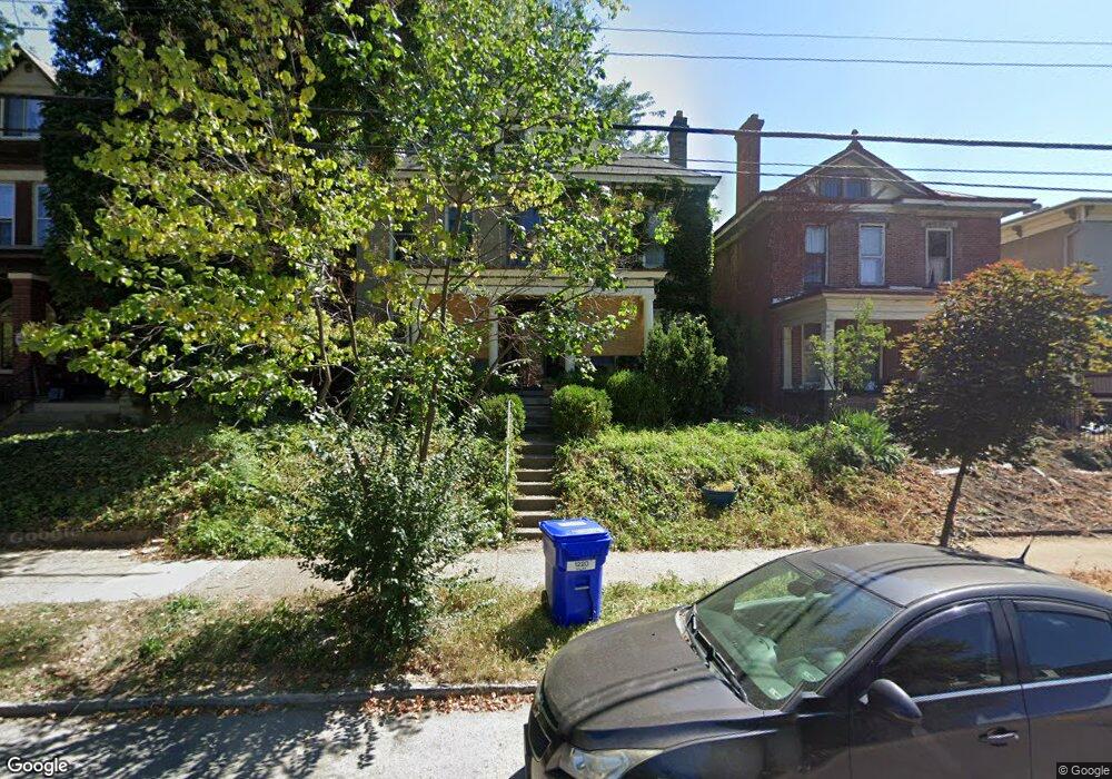
1220 Neil Ave Columbus, OH 43201
Victorian Village NeighborhoodEstimated Value: $595,799 - $683,000
4
Beds
3
Baths
2,445
Sq Ft
$263/Sq Ft
Est. Value
About This Home
This home is located at 1220 Neil Ave, Columbus, OH 43201 and is currently estimated at $642,200, approximately $262 per square foot. 1220 Neil Ave is a home located in Franklin County with nearby schools including Hubbard Elementary School, Dominion Middle School, and Whetstone High School.
Ownership History
Date
Name
Owned For
Owner Type
Purchase Details
Closed on
May 12, 1993
Bought by
Livingston Robert E
Current Estimated Value
Purchase Details
Closed on
Jun 30, 1988
Create a Home Valuation Report for This Property
The Home Valuation Report is an in-depth analysis detailing your home's value as well as a comparison with similar homes in the area
Home Values in the Area
Average Home Value in this Area
Purchase History
| Date | Buyer | Sale Price | Title Company |
|---|---|---|---|
| Livingston Robert E | $147,900 | -- | |
| -- | $110,500 | -- |
Source: Public Records
Tax History Compared to Growth
Tax History
| Year | Tax Paid | Tax Assessment Tax Assessment Total Assessment is a certain percentage of the fair market value that is determined by local assessors to be the total taxable value of land and additions on the property. | Land | Improvement |
|---|---|---|---|---|
| 2024 | $8,008 | $178,430 | $53,900 | $124,530 |
| 2023 | $7,906 | $178,430 | $53,900 | $124,530 |
| 2022 | $10,598 | $204,340 | $32,520 | $171,820 |
| 2021 | $10,617 | $204,340 | $32,520 | $171,820 |
| 2020 | $10,631 | $204,340 | $32,520 | $171,820 |
| 2019 | $10,313 | $170,000 | $27,090 | $142,910 |
| 2018 | $9,527 | $170,000 | $27,090 | $142,910 |
| 2017 | $10,233 | $170,000 | $27,090 | $142,910 |
| 2016 | $10,160 | $153,380 | $26,220 | $127,160 |
| 2015 | $8,993 | $153,380 | $26,220 | $127,160 |
| 2014 | $9,246 | $153,380 | $26,220 | $127,160 |
| 2013 | $4,146 | $139,440 | $23,835 | $115,605 |
Source: Public Records
Map
Nearby Homes
- 1245 Pennsylvania Ave
- 398 W 5th Ave
- 154-156 W 6th Ave
- 337 Tappan St
- 1042 Neil Ave
- 1298 Hunter Ave
- 477 W 4th Ave
- 1018 Neil Ave
- 1016 Neil Ave
- 319 W 2nd Ave Unit 319
- 1025 Hunter Ave
- 343 King Ave Unit 345
- 396 W 7th Ave
- 506 Riverfront Ln
- 63 Smith Place
- 994 Harrison Ave
- 512 Riverfront Ln
- 502 Riverfront Ln
- 986 Highland St
- 516 Riverfront Ln
- 1214 Neil Ave
- 1226 Neil Ave
- 1219 Forsythe Ave Unit TWENTY
- 1219 Forsythe Ave Unit 221
- 1219 Forsythe Ave Unit 2
- 1219 Forsythe Ave Unit 1221
- 1225 Forsythe Ave Unit TWENTY
- 1208 Neil Ave
- 1215 Forsythe Ave Unit TWENTY
- 1223 Forsythe Ave Unit 1/2
- 1204 Neil Ave Unit 206
- 1236 Neil Ave Unit 238
- 1202 Neil Ave Unit 1202
- 1231 Forsythe Ave Unit TWENTY
- 1200 Neil Ave Unit 1200
- 1217 Neil Ave
- 1196 Neil Ave
- 1223 Neil Ave
- 1212 Forsythe Ave Unit TWENTY
- 1212 Forsythe Ave Unit 214