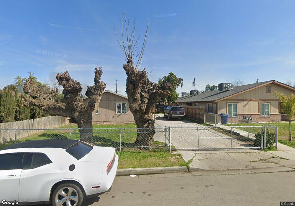
1220 Q St Sanger, CA 93657
Estimated Value: $242,000 - $260,000
2
Beds
1
Bath
1,080
Sq Ft
$233/Sq Ft
Est. Value
About This Home
This home is located at 1220 Q St, Sanger, CA 93657 and is currently estimated at $251,645, approximately $233 per square foot. 1220 Q St is a home located in Fresno County with nearby schools including Lincoln Elementary School, Washington Academic Middle School, and Sanger High School.
Ownership History
Date
Name
Owned For
Owner Type
Purchase Details
Closed on
Aug 26, 2023
Sold by
Neri Martin R and Neri Petra R
Bought by
Rodriguez Martin Neri
Current Estimated Value
Purchase Details
Closed on
Aug 25, 2023
Sold by
Neri Martin R and Neri Petra R
Bought by
Rodriguez Martin Neri
Purchase Details
Closed on
Oct 24, 2003
Sold by
Barrios Marcial and Barrios Clementina
Bought by
Neri Martin R and Neri Petra R
Home Financials for this Owner
Home Financials are based on the most recent Mortgage that was taken out on this home.
Original Mortgage
$50,000
Interest Rate
5.89%
Mortgage Type
Purchase Money Mortgage
Purchase Details
Closed on
Apr 7, 1998
Sold by
Perez Oscar and Perez Jose A
Bought by
Barrios Marcial and Barrios Clementina
Home Financials for this Owner
Home Financials are based on the most recent Mortgage that was taken out on this home.
Original Mortgage
$22,000
Interest Rate
7.01%
Create a Home Valuation Report for This Property
The Home Valuation Report is an in-depth analysis detailing your home's value as well as a comparison with similar homes in the area
Home Values in the Area
Average Home Value in this Area
Purchase History
| Date | Buyer | Sale Price | Title Company |
|---|---|---|---|
| Rodriguez Martin Neri | -- | None Listed On Document | |
| Rodriguez Martin Neri | -- | None Listed On Document | |
| Neri Martin R | $73,000 | Fidelity National Title Co | |
| Barrios Marcial | $42,000 | Chicago Title Co |
Source: Public Records
Mortgage History
| Date | Status | Borrower | Loan Amount |
|---|---|---|---|
| Previous Owner | Neri Martin R | $50,000 | |
| Previous Owner | Barrios Marcial | $22,000 |
Source: Public Records
Tax History
| Year | Tax Paid | Tax Assessment Tax Assessment Total Assessment is a certain percentage of the fair market value that is determined by local assessors to be the total taxable value of land and additions on the property. | Land | Improvement |
|---|---|---|---|---|
| 2025 | $2,636 | $214,200 | $56,100 | $158,100 |
| 2023 | $2,498 | $99,740 | $13,655 | $86,085 |
| 2022 | $1,232 | $97,786 | $13,388 | $84,398 |
| 2021 | $1,222 | $95,870 | $13,126 | $82,744 |
| 2020 | $1,187 | $94,888 | $12,992 | $81,896 |
| 2019 | $1,163 | $93,029 | $12,738 | $80,291 |
| 2018 | $1,116 | $91,206 | $12,489 | $78,717 |
| 2017 | $1,097 | $89,419 | $12,245 | $77,174 |
| 2016 | $1,032 | $87,666 | $12,005 | $75,661 |
| 2015 | $1,040 | $86,350 | $11,825 | $74,525 |
| 2014 | $662 | $53,697 | $23,013 | $30,684 |
Source: Public Records
Map
Nearby Homes
Your Personal Tour Guide
Ask me questions while you tour the home.