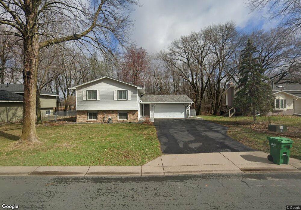
12200 101st Ave N Maple Grove, MN 55369
Estimated Value: $411,000 - $420,000
4
Beds
2
Baths
1,015
Sq Ft
$410/Sq Ft
Est. Value
About This Home
This home is located at 12200 101st Ave N, Maple Grove, MN 55369 and is currently estimated at $416,457, approximately $410 per square foot. 12200 101st Ave N is a home located in Hennepin County with nearby schools including Fernbrook Elementary School, Osseo Middle School, and Maple Grove Senior High School.
Ownership History
Date
Name
Owned For
Owner Type
Purchase Details
Closed on
Jul 15, 2020
Sold by
Young Deanne J and Young Kenneth
Bought by
Warren Adam
Current Estimated Value
Home Financials for this Owner
Home Financials are based on the most recent Mortgage that was taken out on this home.
Original Mortgage
$310,408
Outstanding Balance
$275,249
Interest Rate
3.1%
Mortgage Type
New Conventional
Estimated Equity
$141,208
Purchase Details
Closed on
Jul 20, 2007
Sold by
Larsen W David and Larsen Jo Lynn
Bought by
Young Deanne J
Create a Home Valuation Report for This Property
The Home Valuation Report is an in-depth analysis detailing your home's value as well as a comparison with similar homes in the area
Home Values in the Area
Average Home Value in this Area
Purchase History
| Date | Buyer | Sale Price | Title Company |
|---|---|---|---|
| Warren Adam | $337,400 | Executive Title | |
| Young Deanne J | $246,900 | -- |
Source: Public Records
Mortgage History
| Date | Status | Borrower | Loan Amount |
|---|---|---|---|
| Open | Warren Adam | $310,408 |
Source: Public Records
Tax History Compared to Growth
Tax History
| Year | Tax Paid | Tax Assessment Tax Assessment Total Assessment is a certain percentage of the fair market value that is determined by local assessors to be the total taxable value of land and additions on the property. | Land | Improvement |
|---|---|---|---|---|
| 2024 | $4,612 | $388,500 | $135,000 | $253,500 |
| 2023 | $4,657 | $398,200 | $141,600 | $256,600 |
| 2022 | $3,848 | $387,300 | $116,600 | $270,700 |
| 2021 | $3,424 | $323,700 | $90,300 | $233,400 |
| 2020 | $3,407 | $286,700 | $76,300 | $210,400 |
| 2019 | $3,423 | $272,300 | $73,000 | $199,300 |
| 2018 | $3,228 | $259,700 | $72,000 | $187,700 |
| 2017 | $3,087 | $224,600 | $62,000 | $162,600 |
| 2016 | $3,139 | $225,100 | $67,000 | $158,100 |
| 2015 | $3,150 | $220,300 | $69,000 | $151,300 |
| 2014 | -- | $204,100 | $66,500 | $137,600 |
Source: Public Records
Map
Nearby Homes
- 9880 Cottonwood Ln N
- 13391 Territorial Cir N
- 12795 95th Ave N
- 13434 Territorial Cir N
- 13485 Territorial Cir N
- 11043 104th Place N
- 9323 Magnolia Ln N
- 9323 Kirkwood Ln N
- 9311 Kirkwood Ln N
- 6866 Zachary Ln N
- 9201 Forestview Ln N
- 10781 Boundary Creek Terrace
- 9132 Kirkwood Ln N
- 12599 91st Place N
- 13744 94th Ave N
- 9058 Goldenrod Ln N
- 9501 Revere Ln N
- 9061 Underwood Ln N
- 10385 Glacier Ln N
- 14419 104th Ave N
- 12180 101st Ave N
- 12160 101st Ave N
- 12240 101st Ave N
- 12197 101st Ave N
- 12217 101st Ave N
- 12177 101st Ave N
- 12140 101st Ave N
- 12157 101st Ave N
- 10101 Ives Ln N
- 10081 Ives Ln N
- 12137 101st Ave N
- 12120 101st Ave N
- 10042 Ives Ln N
- 10061 Ives Ln N
- 10073 Ives Way
- 10028 Ives Way
- 10038 Ives Way
- 12090 101st Ave N
- 10041 Ives Ln N
- 10058 Ives Way