12200 Pear Tree Rd Dewitt, IL 61735
Estimated Value: $284,000 - $411,000
3
Beds
2
Baths
2,058
Sq Ft
$181/Sq Ft
Est. Value
About This Home
This home is located at 12200 Pear Tree Rd, Dewitt, IL 61735 and is currently estimated at $371,867, approximately $180 per square foot. 12200 Pear Tree Rd is a home located in De Witt County with nearby schools including Clinton High School.
Ownership History
Date
Name
Owned For
Owner Type
Purchase Details
Closed on
Mar 27, 2012
Sold by
Stoeckner Rick and Stoeckner Alison J
Bought by
Donaldson Ronnie L and Donaldson Mary Kay
Current Estimated Value
Home Financials for this Owner
Home Financials are based on the most recent Mortgage that was taken out on this home.
Original Mortgage
$202,000
Outstanding Balance
$138,466
Interest Rate
3.75%
Mortgage Type
FHA
Estimated Equity
$233,401
Create a Home Valuation Report for This Property
The Home Valuation Report is an in-depth analysis detailing your home's value as well as a comparison with similar homes in the area
Purchase History
| Date | Buyer | Sale Price | Title Company |
|---|---|---|---|
| Donaldson Ronnie L | $220,000 | -- |
Source: Public Records
Mortgage History
| Date | Status | Borrower | Loan Amount |
|---|---|---|---|
| Open | Donaldson Ronnie L | $202,000 |
Source: Public Records
Tax History
| Year | Tax Paid | Tax Assessment Tax Assessment Total Assessment is a certain percentage of the fair market value that is determined by local assessors to be the total taxable value of land and additions on the property. | Land | Improvement |
|---|---|---|---|---|
| 2024 | $5,491 | $98,240 | $6,866 | $91,374 |
| 2023 | $4,981 | $89,695 | $6,171 | $83,524 |
| 2022 | $4,659 | $84,768 | $5,778 | $78,990 |
| 2021 | $4,439 | $82,339 | $5,550 | $76,789 |
| 2020 | $4,624 | $82,263 | $5,474 | $76,789 |
| 2019 | $4,700 | $82,195 | $5,406 | $76,789 |
| 2018 | $4,571 | $80,300 | $5,230 | $75,070 |
| 2017 | $4,554 | $78,313 | $4,990 | $73,323 |
| 2016 | $4,507 | $76,800 | $4,848 | $71,952 |
| 2015 | $4,505 | $76,629 | $4,677 | $71,952 |
| 2014 | $4,505 | $76,599 | $4,647 | $71,952 |
| 2013 | -- | $76,576 | $4,624 | $71,952 |
Source: Public Records
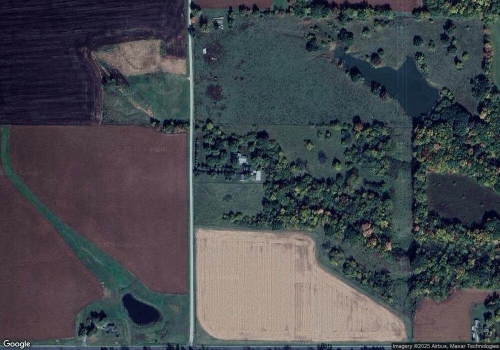
Map
Nearby Homes
- 17395 Swisher Hill Rd
- 101 E Third
- 215 Chicago St
- 1008 Bloomington St
- TBD Water St
- N 2545 E Rd
- 000 Adam Rd
- 220 N Locust St
- 100 S 4th St
- 1651 N 2800 East Rd
- 108 Cardinal Dr
- 1210 E Main St
- 713 N George St
- 113 S Isabella St
- 1202 E Jefferson St
- 413 Moore St
- 613 N Center St
- 701 S Cain St
- 315 Burcham Dr
- 000 Lot 5 Sunset Dr
- 16259 Parnell Rd
- 11956 Pear Tree Rd
- 16791 Parnell Rd
- 12247 Solomon Rd
- 12311 Solomon Rd
- 16682 Parnell Rd
- 12435 Solomon Rd
- 12588 Solomon Rd
- 12825 Solomon Rd
- 17185 Parnell Rd
- 17185 Parnell Rd
- 11550 Lake Rd
- 15731 Parnell Rd
- 12764 Solomon Rd
- 12764 Solomon Rd
- 17179 Swisher Hill Rd
- 11174 Pear Tree Rd
- 11400 Lake Rd
- 11310 Lake Rd
- 11028 Pear Tree Rd
Your Personal Tour Guide
Ask me questions while you tour the home.