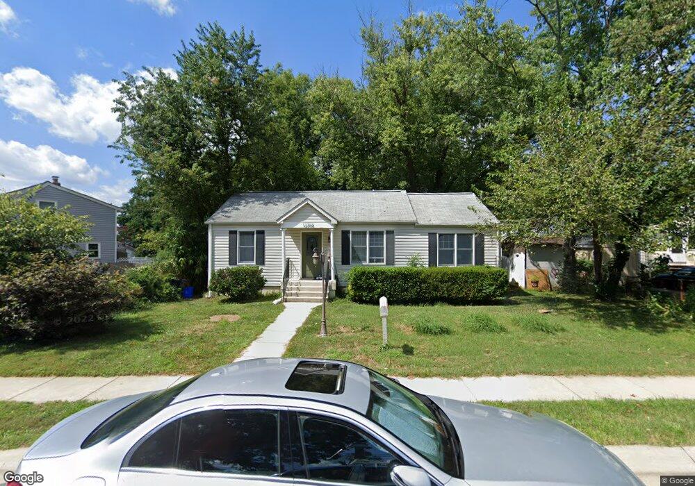
12208 Livingston St Silver Spring, MD 20902
Estimated Value: $459,541 - $516,000
3
Beds
3
Baths
1,508
Sq Ft
$320/Sq Ft
Est. Value
About This Home
This home is located at 12208 Livingston St, Silver Spring, MD 20902 and is currently estimated at $482,885, approximately $320 per square foot. 12208 Livingston St is a home located in Montgomery County with nearby schools including Shoreline Elementary School, Arcola Elementary School, and Odessa Shannon Middle School.
Ownership History
Date
Name
Owned For
Owner Type
Purchase Details
Closed on
Aug 4, 2010
Sold by
Gale Shannon and Carruth Sledge Mary
Bought by
Gomez Ramiro G and Gorrez Rosa E
Current Estimated Value
Home Financials for this Owner
Home Financials are based on the most recent Mortgage that was taken out on this home.
Original Mortgage
$288,120
Interest Rate
4.63%
Mortgage Type
Purchase Money Mortgage
Create a Home Valuation Report for This Property
The Home Valuation Report is an in-depth analysis detailing your home's value as well as a comparison with similar homes in the area
Home Values in the Area
Average Home Value in this Area
Purchase History
| Date | Buyer | Sale Price | Title Company |
|---|---|---|---|
| Gomez Ramiro G | $292,000 | Chicago Title Insurance Co |
Source: Public Records
Mortgage History
| Date | Status | Borrower | Loan Amount |
|---|---|---|---|
| Previous Owner | Gomez Ramiro G | $288,120 |
Source: Public Records
Tax History Compared to Growth
Tax History
| Year | Tax Paid | Tax Assessment Tax Assessment Total Assessment is a certain percentage of the fair market value that is determined by local assessors to be the total taxable value of land and additions on the property. | Land | Improvement |
|---|---|---|---|---|
| 2025 | $4,519 | $352,100 | $173,400 | $178,700 |
| 2024 | $4,519 | $335,000 | $0 | $0 |
| 2023 | $4,995 | $317,900 | $0 | $0 |
| 2022 | $3,221 | $300,800 | $173,400 | $127,400 |
| 2021 | $2,866 | $289,000 | $0 | $0 |
| 2020 | $2,866 | $277,200 | $0 | $0 |
| 2019 | $2,703 | $265,400 | $158,700 | $106,700 |
| 2018 | $2,613 | $259,633 | $0 | $0 |
| 2017 | $2,589 | $253,867 | $0 | $0 |
| 2016 | -- | $248,100 | $0 | $0 |
| 2015 | $2,304 | $244,867 | $0 | $0 |
| 2014 | $2,304 | $241,633 | $0 | $0 |
Source: Public Records
Map
Nearby Homes
- 2707 Lindell St
- 2814 Munson St
- 2509 Mason St
- 2906 Radius Rd
- 2506 Lindell St
- 12114 Grandview Ave
- 2652 Cory Terrace
- 2507 Weisman Rd
- 11904 Lafayette Dr
- 11807 Grandview Ave
- 3033 Medway St
- 2439 Glenallan Ave
- 3312 Clay St
- 12814 Epping Terrace
- 2200 Greenery Ln Unit 101
- 2202 Greenery Ln Unit 301
- 2805 Ivydale St
- 135 Klee Alley
- 2806 Ivydale St
- 12106 Bluhill Rd
- 2801 Munson St
- 2704 Newton St
- 2700 Newton St
- 2803 Munson St
- 2706 Newton St
- 2723 Munson St
- 2805 Munson St
- 2708 Newton St
- 12209 Livingston St
- 2721 Munson St
- 2722 Munson St
- 2807 Munson St
- 2800 Munson St
- 2710 Newton St
- 2705 Newton St
- 2707 Newton St
- 2626 Newton St
- 2703 Newton St
- 2709 Newton St
- 2719 Munson St