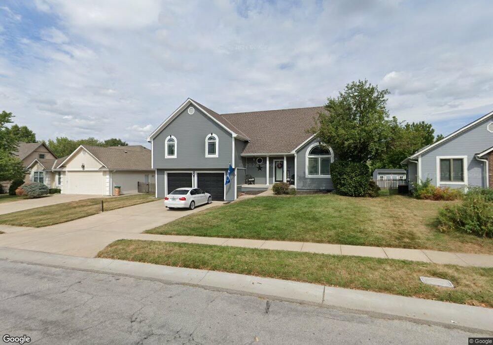
1221 SW Pacific Dr Lees Summit, MO 64081
Estimated Value: $315,767 - $394,000
3
Beds
2
Baths
1,560
Sq Ft
$224/Sq Ft
Est. Value
About This Home
This home is located at 1221 SW Pacific Dr, Lees Summit, MO 64081 and is currently estimated at $348,692, approximately $223 per square foot. 1221 SW Pacific Dr is a home located in Jackson County with nearby schools including Pleasant Lea Middle School, Lee's Summit Senior High School, and Summit Christian Academy.
Ownership History
Date
Name
Owned For
Owner Type
Purchase Details
Closed on
Dec 18, 2001
Sold by
Koch Alan C and Koch Carol L
Bought by
Neely Howard L and Eason Deborah A
Current Estimated Value
Home Financials for this Owner
Home Financials are based on the most recent Mortgage that was taken out on this home.
Original Mortgage
$141,950
Outstanding Balance
$54,726
Interest Rate
6.39%
Mortgage Type
Purchase Money Mortgage
Estimated Equity
$293,966
Create a Home Valuation Report for This Property
The Home Valuation Report is an in-depth analysis detailing your home's value as well as a comparison with similar homes in the area
Home Values in the Area
Average Home Value in this Area
Purchase History
| Date | Buyer | Sale Price | Title Company |
|---|---|---|---|
| Neely Howard L | -- | Coffelt Land Title |
Source: Public Records
Mortgage History
| Date | Status | Borrower | Loan Amount |
|---|---|---|---|
| Open | Neely Howard L | $141,950 |
Source: Public Records
Tax History Compared to Growth
Tax History
| Year | Tax Paid | Tax Assessment Tax Assessment Total Assessment is a certain percentage of the fair market value that is determined by local assessors to be the total taxable value of land and additions on the property. | Land | Improvement |
|---|---|---|---|---|
| 2025 | $2,832 | $43,219 | $8,544 | $34,675 |
| 2024 | $2,812 | $39,222 | $5,683 | $33,539 |
| 2023 | $2,812 | $39,222 | $5,689 | $33,533 |
| 2022 | $2,638 | $32,680 | $6,023 | $26,657 |
| 2021 | $2,693 | $32,680 | $6,023 | $26,657 |
| 2020 | $2,593 | $31,158 | $6,023 | $25,135 |
| 2019 | $2,522 | $31,158 | $6,023 | $25,135 |
| 2018 | $2,512 | $28,804 | $3,370 | $25,434 |
| 2017 | $2,474 | $28,804 | $3,370 | $25,434 |
| 2016 | $2,474 | $28,082 | $3,876 | $24,206 |
| 2014 | $2,481 | $27,601 | $3,617 | $23,984 |
Source: Public Records
Map
Nearby Homes
- 1152 SW Pacific Cir
- 1052 SW Twin Creek Dr
- 1025 SW Pacific Dr
- 1123 SW Hoke Dr
- 1021 SW Redbuck Cir
- 949 SW Daney Dr
- 1016 SW Pacific Dr
- 907 SW Lea Dr
- 804 SW Murray Rd
- 701 SW Ward Rd
- 1521 SW Hedgewood Ln
- 3053 NW Thoreau Ln
- 420 NW Kaylea Ct
- 1011 SW Lorman Dr
- 1009 SW 8th St
- 1608 SW Hedgewood Ln
- 1402 SW Charleston Ave
- 505 SW Murray Rd
- 1508 SW 5th St
- 1000 SW Lakeview Blvd
- 1217 SW Pacific Dr
- 1225 SW Pacific Dr
- 1220 SW Pacific Dr
- 1216 SW Pacific Dr
- 1213 SW Pacific Dr
- 1229 SW Pacific Dr
- 1220 SW Crossing Dr
- 1224 SW Crossing Dr
- 1212 SW Pacific Dr
- 1216 SW Crossing Dr
- 1228 SW Crossing Dr
- 1209 SW Pacific Dr
- 1208 SW Pacific Dr
- 1224 SW Pacific Dr
- 1232 SW Crossing Dr
- 1212 SW Crossing Dr
- 1233 SW Pacific Dr
- 1212 SW Persels Rd
- 1205 SW Pacific Dr
- 1204 SW Pacific Dr