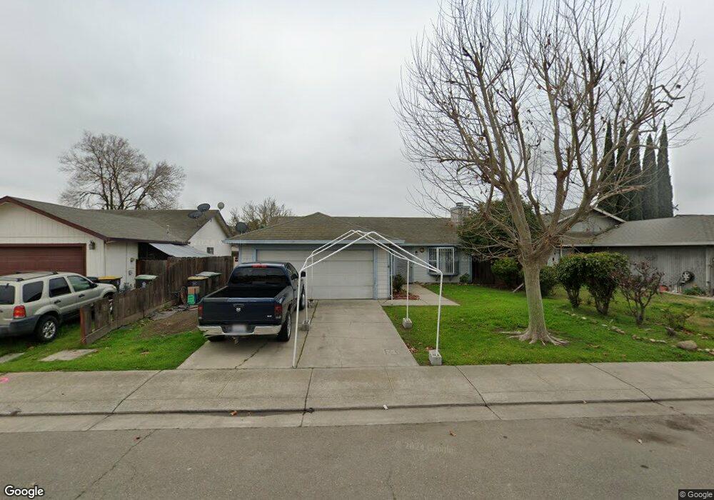
1222 Derrick Dr Stockton, CA 95206
Seaport NeighborhoodEstimated Value: $88,000 - $367,000
3
Beds
2
Baths
1,120
Sq Ft
$259/Sq Ft
Est. Value
About This Home
This home is located at 1222 Derrick Dr, Stockton, CA 95206 and is currently estimated at $289,927, approximately $258 per square foot. 1222 Derrick Dr is a home located in San Joaquin County with nearby schools including John Marshall Elementary School, San Joaquin Elementary School, and Taylor Leadership Academy.
Ownership History
Date
Name
Owned For
Owner Type
Purchase Details
Closed on
Mar 28, 2011
Sold by
Bank Of The West
Bought by
Gong Andy
Current Estimated Value
Purchase Details
Closed on
Aug 31, 2010
Sold by
Cuison Jenny P
Bought by
Bank Of The West
Purchase Details
Closed on
Nov 18, 2005
Sold by
Cuison Jenny P
Bought by
Cuison Jenny P
Home Financials for this Owner
Home Financials are based on the most recent Mortgage that was taken out on this home.
Original Mortgage
$128,000
Interest Rate
6.07%
Mortgage Type
Fannie Mae Freddie Mac
Purchase Details
Closed on
Jul 5, 1995
Sold by
Cuison Rufino S and Pepito Restituto R
Bought by
Cuison Jenny P
Home Financials for this Owner
Home Financials are based on the most recent Mortgage that was taken out on this home.
Original Mortgage
$66,400
Interest Rate
8.32%
Purchase Details
Closed on
May 22, 1995
Sold by
Zemola Frank and Zemola Mary C
Bought by
Cuison Rufino S and Cuison Jenny P
Home Financials for this Owner
Home Financials are based on the most recent Mortgage that was taken out on this home.
Original Mortgage
$66,400
Interest Rate
8.32%
Create a Home Valuation Report for This Property
The Home Valuation Report is an in-depth analysis detailing your home's value as well as a comparison with similar homes in the area
Home Values in the Area
Average Home Value in this Area
Purchase History
| Date | Buyer | Sale Price | Title Company |
|---|---|---|---|
| Gong Andy | $82,000 | Commerce Title Company | |
| Bank Of The West | $83,700 | Accommodation | |
| Cuison Jenny P | -- | Orange Coast Title | |
| Cuison Jenny P | -- | Alliance Title Company | |
| Cuison Rufino S | $83,000 | Alliance Title Co |
Source: Public Records
Mortgage History
| Date | Status | Borrower | Loan Amount |
|---|---|---|---|
| Previous Owner | Cuison Jenny P | $128,000 | |
| Previous Owner | Cuison Rufino S | $66,400 |
Source: Public Records
Tax History Compared to Growth
Tax History
| Year | Tax Paid | Tax Assessment Tax Assessment Total Assessment is a certain percentage of the fair market value that is determined by local assessors to be the total taxable value of land and additions on the property. | Land | Improvement |
|---|---|---|---|---|
| 2025 | $1,452 | $105,046 | $25,619 | $79,427 |
| 2024 | $1,428 | $102,987 | $25,117 | $77,870 |
| 2023 | $1,397 | $100,969 | $24,625 | $76,344 |
| 2022 | $1,291 | $98,991 | $24,143 | $74,848 |
| 2021 | $1,247 | $97,051 | $23,670 | $73,381 |
| 2020 | $1,270 | $96,057 | $23,428 | $72,629 |
| 2019 | $1,265 | $94,174 | $22,969 | $71,205 |
| 2018 | $1,243 | $92,328 | $22,519 | $69,809 |
| 2017 | $1,180 | $90,519 | $22,078 | $68,441 |
| 2016 | $1,200 | $88,745 | $21,645 | $67,100 |
| 2014 | $1,145 | $85,699 | $20,902 | $64,797 |
Source: Public Records
Map
Nearby Homes
- 1156 Derrick Dr
- 1413 Laguna Cir
- 1409 Laguna Cir
- 2242 Port Trinity Cir
- 864 W 5th St
- 1232 Denver Ave
- 2128 Green River Ln
- 1823 Fort Hall Place
- 2650 S Fresno Ave
- 509 Howard St
- 426 Howard St
- 3504 French Camp Turnpike
- 539 Buena Vida Ct
- 544 W 9th St
- 1932 S Lincoln St
- 407 W 7th St
- 2217 S Lincoln St
- 364 W 7th St
- 332 Kolher St
- 2050 Grey Stone Dr
- 1204 Derrick Dr
- 1244 Derrick Dr
- 1178 Derrick Dr
- 1266 Derrick Dr
- 1221 Derrick Dr
- 1245 Derrick Dr
- 1288 Derrick Dr
- 1185 Derrick Dr
- 1267 Derrick Dr
- 1165 Derrick Dr
- 1134 Derrick Dr
- 1302 Derrick Dr
- 1289 Derrick Dr
- 1202 Guting Dr
- 1214 Guting Dr
- 1224 Guting Dr
- 1190 Guting Dr
- 1248 Guting Dr
- 2107 S Argonaut St
- 1158 Guting Dr