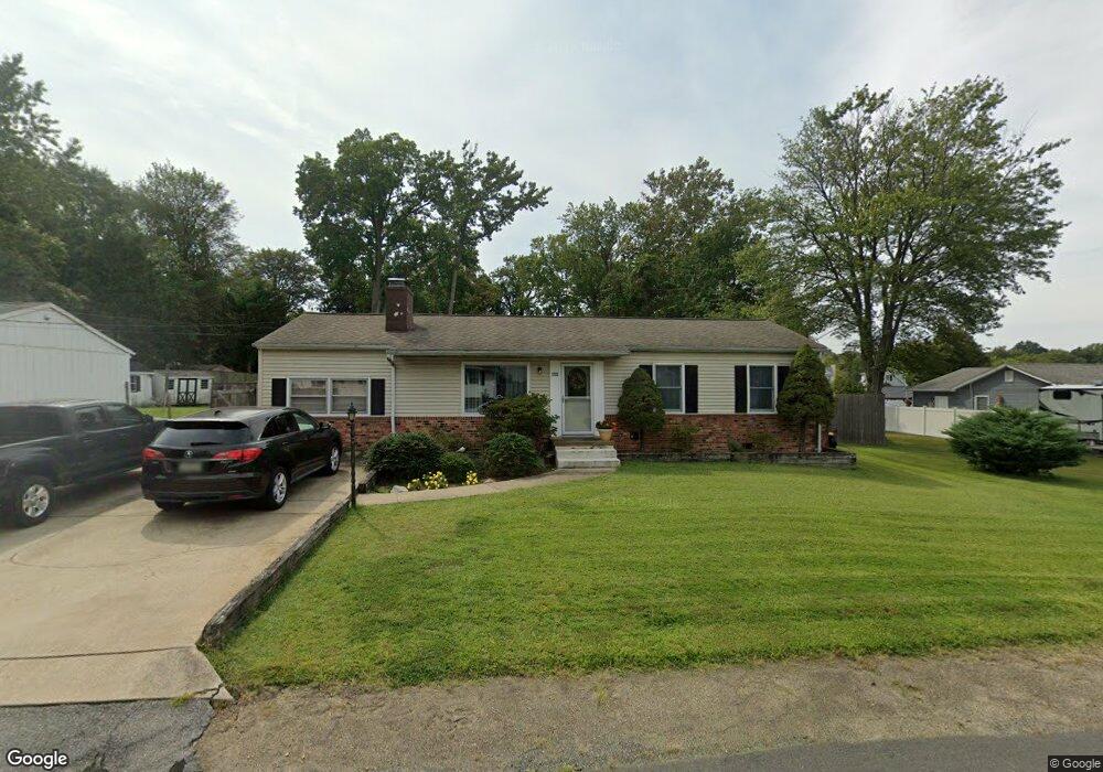
1222 Pine Ave Edgewater, MD 21037
Estimated Value: $483,677 - $574,000
Studio
1
Bath
2,252
Sq Ft
$234/Sq Ft
Est. Value
About This Home
This home is located at 1222 Pine Ave, Edgewater, MD 21037 and is currently estimated at $526,419, approximately $233 per square foot. 1222 Pine Ave is a home located in Anne Arundel County with nearby schools including Mayo Elementary School, Central Middle School, and South River High School.
Ownership History
Date
Name
Owned For
Owner Type
Purchase Details
Closed on
Jan 15, 2025
Sold by
Frissell John S and Frissell Beth A
Bought by
Frissell John S and Frissell Beth A
Current Estimated Value
Purchase Details
Closed on
Jul 12, 1996
Sold by
Kammer Nola G
Bought by
Frissell John S and Frissell Beth A
Purchase Details
Closed on
Jan 23, 1996
Sold by
Kammer Nola G
Bought by
Kammer Nola G
Create a Home Valuation Report for This Property
The Home Valuation Report is an in-depth analysis detailing your home's value as well as a comparison with similar homes in the area
Home Values in the Area
Average Home Value in this Area
Purchase History
| Date | Buyer | Sale Price | Title Company |
|---|---|---|---|
| Frissell John S | -- | None Listed On Document | |
| Frissell John S | -- | None Listed On Document | |
| Frissell John S | $154,900 | -- | |
| Kammer Nola G | -- | -- |
Source: Public Records
Mortgage History
| Date | Status | Borrower | Loan Amount |
|---|---|---|---|
| Closed | Frissell John S | -- |
Source: Public Records
Tax History
| Year | Tax Paid | Tax Assessment Tax Assessment Total Assessment is a certain percentage of the fair market value that is determined by local assessors to be the total taxable value of land and additions on the property. | Land | Improvement |
|---|---|---|---|---|
| 2025 | $3,457 | $406,667 | -- | -- |
| 2024 | $3,457 | $389,933 | $0 | $0 |
Source: Public Records
Map
Nearby Homes
- 1218 Pine Ave
- 4119 Waterview Dr
- 4005 Dark Horse Way
- 1403 (Lot 70) Old Ct
- Lot 71 Old Ct
- 1407 (Lot 72) Old Ct
- 1138 Mayo Rd
- 0 Mayo Rd Unit MDAA2113152
- 1443 Rehling Dr
- 1533 Wakefield Rd
- 1055 Old Turkey Point Rd
- 3728 Bay Dr
- 1546 Ridgely Dr
- 3744 Parke Dr
- 3725 Ramsey Dr
- 3727 Ramsey Dr
- 0 Beverley Ave Unit MDAA2048610
- 0 Old Turkey Point Rd
- 1110 Murray Dr
- 3887 Cotter Dr
Your Personal Tour Guide
Ask me questions while you tour the home.