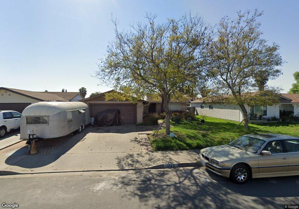
1223 Kent Ave Escondido, CA 92027
Midway NeighborhoodEstimated Value: $647,217 - $684,000
3
Beds
2
Baths
1,170
Sq Ft
$571/Sq Ft
Est. Value
About This Home
This home is located at 1223 Kent Ave, Escondido, CA 92027 and is currently estimated at $668,554, approximately $571 per square foot. 1223 Kent Ave is a home located in San Diego County with nearby schools including Pioneer Elementary School, Mission Middle, and Escondido High School.
Ownership History
Date
Name
Owned For
Owner Type
Purchase Details
Closed on
Oct 21, 1998
Sold by
Greenberg Michael Allan and Greenberg Diane
Bought by
Anderson Thaine C
Current Estimated Value
Purchase Details
Closed on
Nov 22, 1993
Sold by
Greenberg Michael A
Bought by
Greenberg Michael Allan and Greenberg Diane
Purchase Details
Closed on
Jan 19, 1990
Purchase Details
Closed on
Jun 13, 1985
Purchase Details
Closed on
Nov 28, 1983
Create a Home Valuation Report for This Property
The Home Valuation Report is an in-depth analysis detailing your home's value as well as a comparison with similar homes in the area
Home Values in the Area
Average Home Value in this Area
Purchase History
| Date | Buyer | Sale Price | Title Company |
|---|---|---|---|
| Anderson Thaine C | -- | Old Republic Title Company | |
| Greenberg Michael Allan | -- | Old Republic Title Company | |
| Greenberg Michael Allan | -- | -- | |
| -- | $147,900 | -- | |
| -- | $86,500 | -- | |
| -- | $81,000 | -- |
Source: Public Records
Tax History
| Year | Tax Paid | Tax Assessment Tax Assessment Total Assessment is a certain percentage of the fair market value that is determined by local assessors to be the total taxable value of land and additions on the property. | Land | Improvement |
|---|---|---|---|---|
| 2025 | $2,346 | $206,910 | $94,049 | $112,861 |
| 2024 | $2,346 | $202,854 | $92,205 | $110,649 |
| 2023 | $2,292 | $198,878 | $90,398 | $108,480 |
| 2022 | $2,268 | $194,979 | $88,626 | $106,353 |
| 2021 | $2,231 | $191,157 | $86,889 | $104,268 |
| 2020 | $2,219 | $189,198 | $85,999 | $103,199 |
| 2019 | $2,165 | $185,489 | $84,313 | $101,176 |
| 2018 | $2,106 | $181,853 | $82,660 | $99,193 |
| 2017 | $2,072 | $178,289 | $81,040 | $97,249 |
| 2016 | $2,031 | $174,794 | $79,451 | $95,343 |
| 2015 | $2,015 | $172,169 | $78,258 | $93,911 |
| 2014 | $1,932 | $168,798 | $76,726 | $92,072 |
Source: Public Records
Map
Nearby Homes
- 1104 Hoover St
- 1215 Armstrong Cir
- 914 Sendero Ave
- 1531 View Pointe Ave
- 910 N Fig St Unit D
- 610 Cathy Ct
- 1439 E Mission Ave
- 815 Sheridan Ave
- 1452 N Fig St
- 1222 Sheridan Ave
- 1429 Taylor Ave
- 1811 Iris Way
- 1060 E Washington Ave Unit 5
- 1040 E Washington Ave Unit 33
- 1040 E Washington Ave
- 660 Mills St
- 1020 E Washington Ave Unit 88
- 1010 E Washington Ave Unit 72
- 1020 E Washington Ave Unit 107
- 1010 E Washington Ave Unit 73
- 1219 Kent Ave
- 1229 Kent Ave
- 1213 Kent Ave
- 1233 Kent Ave
- 1243 Armstrong Cir
- 1241 Armstrong Cir
- 1245 Armstrong Cir
- 1173 Roosevelt St
- 1220 Kent Ave
- 1239 Armstrong Cir
- 1209 Kent Ave
- 1239 Kent Ave
- 1216 Kent Ave
- 1179 Roosevelt St
- 1247 Armstrong Cir
- 1243 Kent Ave
- 1203 Kent Ave
- 1170 Roosevelt St
- 1154 N Ash St
- 1203 Roosevelt St
Your Personal Tour Guide
Ask me questions while you tour the home.